River Grove RV Park
Campground
Campground · 2.7 mi from the trail
 Photo: fogcat5, CC BY-SA 2.0 (via Flickr)
Fall Creek Trail is an easy, rolling out-and-back hike in Henry Cowell Redwoods State Park in California. The trail is about 1.3 miles long, and the round trip climbs a total of 685 feet, with the highest point at 1,372 feet. The trail starts at about 912 feet, and the steepest stretch comes around the 0.8-mile mark, where the grade reaches about 13%. Because the trail is out and back, you can expect about the same amount of descent as ascent. Spring and fall are the most comfortable times to visit. Typical averages from a nearby weather station at Ben Lomond, which sits about 950 feet below the trail, put May highs around 80°F and October highs around 83°F, while July and August average in the low 90s. Those figures are based on long-term averages and can vary from year to year. The hike takes about an hour, so plan on an easy day in the park. The trail is managed by State Park and Recreation, and the surrounding park offers plenty to pair it with. Truck Trail and Cape Horn Trail both start within half a mile, and Fall Creek South Fork Trail is about 0.6 miles away. Paddlers can reach the San Lorenzo River about 2 miles off.
River Grove RV Park
Campground
Rocky's Café
Restaurant
 If it rainsMrwrite, CC BY-SA 3.0 · Wikimedia Commons
Places © OpenStreetMap contributors · Photos: Mrwrite, CC BY-SA 3.0 (commons)
More in Pescadero Truck TrailHikingPhoto: fogcat5, CC BY-SA 2.0 (via Flickr)0.2 miCape Horn TrailHikingPhoto: fogcat5, CC BY-SA 2.0 (via Flickr)0.4 mi
 Fall Creek South Fork TrailHikingPhoto: Alexander Hatley, CC BY 2.0 (via Flickr)0.6 mi
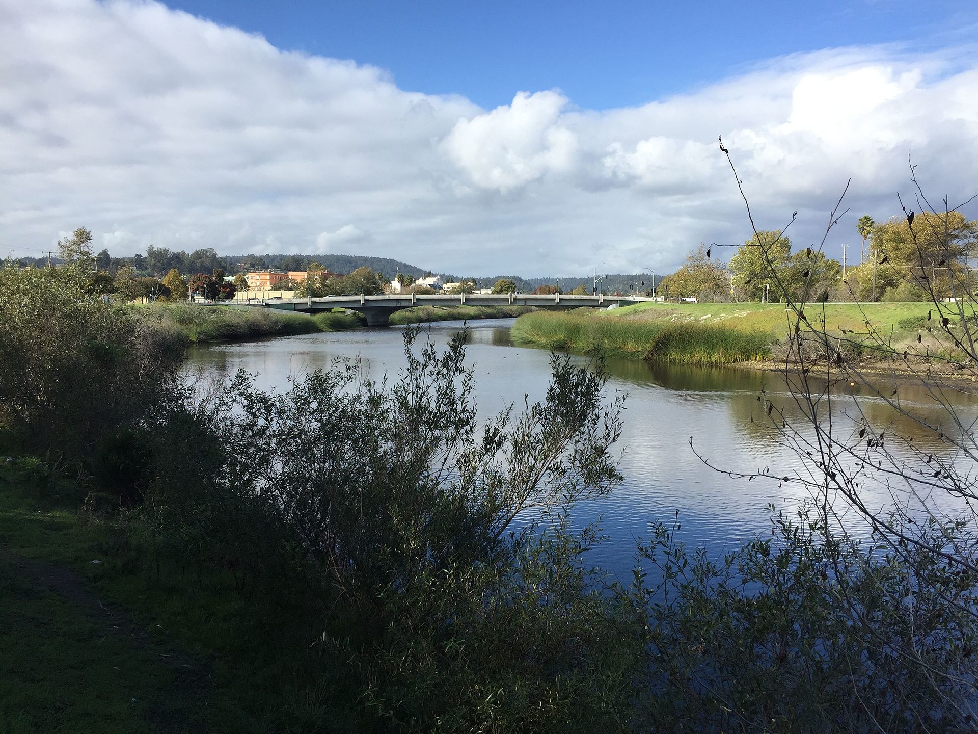 San Lorenzo RiverCanoeingPhoto: Chevy111, CC BY-SA 4.0 (via Wikimedia Commons)2.1 mi
Source: Roamze catalog (indexable pages within 10 miles, PostGIS distance)
Truck TrailHiking · Next doorPhoto: fogcat5, CC BY-SA 2.0 (via Flickr)Cape Horn TrailHiking · Next doorPhoto: fogcat5, CC BY-SA 2.0 (via Flickr) Lost Empire TrailHiking · ~2 min drivePhoto: fogcat5, CC BY-SA 2.0 (via Flickr)
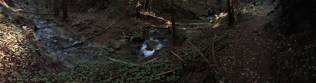 Truck TrailHiking · ~1 min drivePhoto: regexman, CC BY 2.0 (via Flickr)Fall Creek South Fork TrailHiking · ~1 min drivePhoto: Alexander Hatley, CC BY 2.0 (via Flickr)
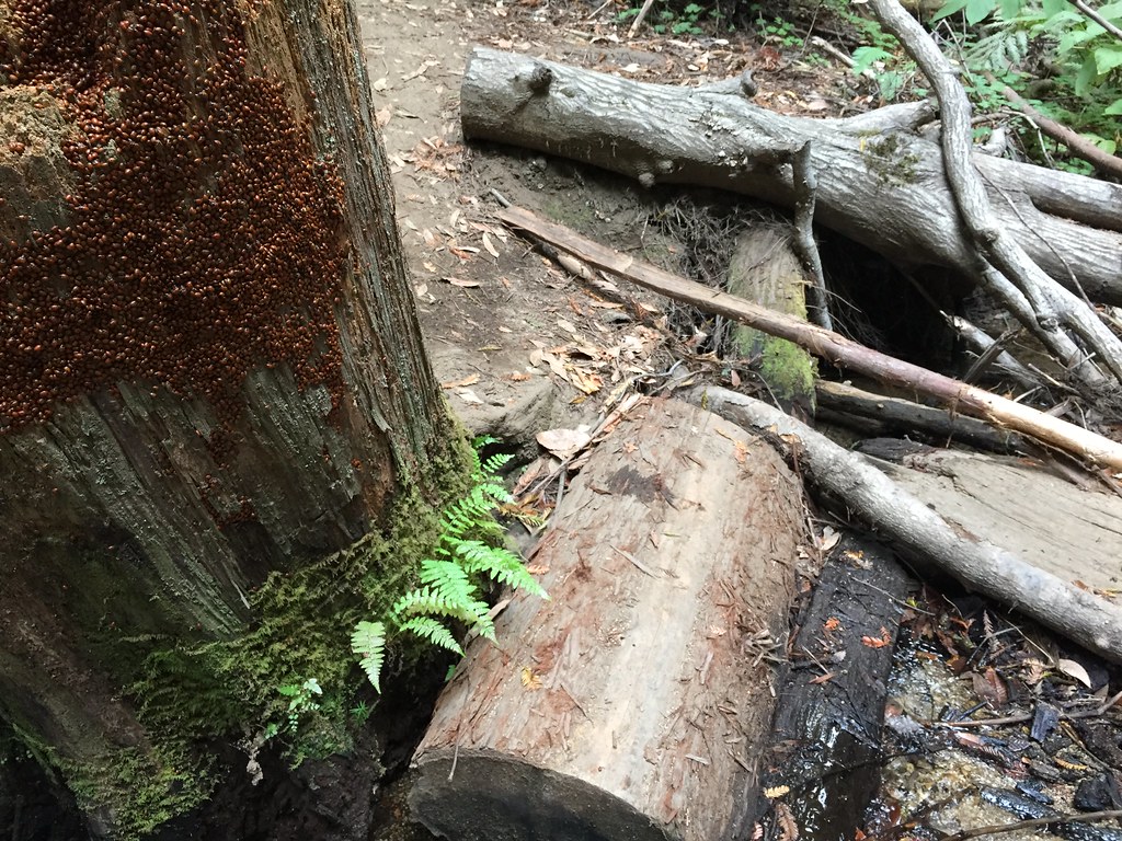 Big Ben TrailHiking · ~2 min drivePhoto: fogcat5, CC BY-SA 2.0 (via Flickr)Fall Creek TrailHiking · ~2 min drivePhoto: Alexander Hatley, CC BY 2.0 (via Flickr)
 High School TrailHiking · ~2 min drivePhoto: Alexander Hatley, CC BY 2.0 (via Flickr)Big Ben TrailHiking · ~2 min drivePhoto: fogcat5, CC BY-SA 2.0 (via Flickr)
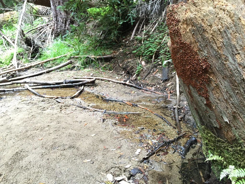 Fall Creek TrailHiking · ~2 min drivePhoto: fogcat5, CC BY-SA 2.0 (via Flickr)
Best months: October–June. Best months have typical highs of 55–85 °F, lows of 30 °F or warmer (32 °F where the station doesn't record snow), at most one snowy day and no more than 12 wet days.
Jan
65° / 37°
12 wet
Feb
67° / 39°
12 wet
Mar
71° / 40°
10 wet
Apr
75° / 42°
7 wet
May
80° / 46°
4 wet
Jun
85° / 49°
2 wet
Jul
88° / 51°
0 wet
Aug
90° / 51°
1 wet
Sep
89° / 49°
1 wet
Oct
83° / 44°
4 wet
Nov
71° / 40°
8 wet
Dec
64° / 37°
12 wet
Typical high / low (°F) and days with rain or snow, 1991–2020. Measured at Ben Lomond #4, CA, 1.7 mi away at 420 ft. The station sits about 1,000 ft lower than this place, so expect it a little cooler here. Source: NOAA NCEI U.S. Climate Normals 1991–2020.
Map and trail data © OpenStreetMap contributors
