Glacier Lodge
Hiking business nearby (~15 mi away) — hasn't claimed their Roamze page yet
Free — you'll pick up right here.
Watch this trail
Sign up to watch it — saving subscribes you to gate, closure and report changes.
California
4.2 mi
Distance
900 ft
Gain
We won't guess. Here is exactly what we do and don't know.
What we do know
Inside Kings Canyon National Park
2 managing-area boundaries mapped — agency alerts for them feed this page automatically.
Boundary data
What's missing
No access route mapped
We don't yet know which road reaches this trailhead, so we can't tell you if it's gated.
Nobody's filed a report here yet — be the first.
Why you'll love it
State Lakes Loop
AI-suggested draft · review before you go
State Lakes Loop is a 4.17-mile out-and-back trail in California's National Park Service system with 900 feet of elevation gain. The route reaches a maximum elevation of 10,457 feet.
 Photo: Tom Hilton, CC BY 2.0 (via Wikimedia Commons)
Volcanic Lakes
~7 min drive
1.89-mile out-and-back trail in California with 461 ft elevation gain.
 Photo: Tom Hilton, CC BY 2.0 (via Flickr)
Grouse Lake
~10 min drive
0.63-mile out-and-back trail to Grouse Lake in California, 194 ft gain.
Photo: Tom Hilton, CC BY 2.0 (via Wikimedia Commons)Kennedy Canyon
~10 min drive
8.37-mile out-and-back trail in California with 2,995 ft elevation gain.
Mist Falls
~14 min drive
The 8-mile round-trip walk to this spectacular cascade makes a great all-day walk. The first miles are relatively flat and open; in the last mile the wooded trail gains 600' in elevation. Be careful once there: Mist and spray make the surrounding rocks slippery and…
John Muir Trail
~16 min drive
7.62-mile out-and-back trail in California with 2,770 ft elevation gain/loss
 Photo: Tom Hilton, CC BY 2.0 (via Wikimedia Commons)
Granite Pass North
~7 min drive
5.76-mile out-and-back trail in California with 1,864 ft elevation gain.
Photo: Tom Hilton, CC BY 2.0 (via Flickr)Granite Basin
~10 min drive
3.28-mile out-and-back trail in California's National Park Service area with 875 ft of elevation gain.
 Photo: Matt Lavin, CC BY-SA 2.0 (via Flickr)
Pinchot Pass North
~16 min drive
4.35-mile out-and-back trail in California reaching 12,102 ft elevation.
Copper Creek
~16 min drive
This trailhead orientation panel shows a map and images of the Copper Creek Trail area. Copper Creek Trail is 10 miles one-way (20 miles round-trip) at a difficult incline. The trail travels through several aspen forests and meadows, ending at Granite Lake, a stop that…
Photo: Tom Hilton, CC BY 2.0 (via Wikimedia Commons)Granite Lake
~8 min drive
0.59-mile out-and-back to Granite Lake in California's National Park Service area.
Also worth it near here
State Lakes
~1 min drive
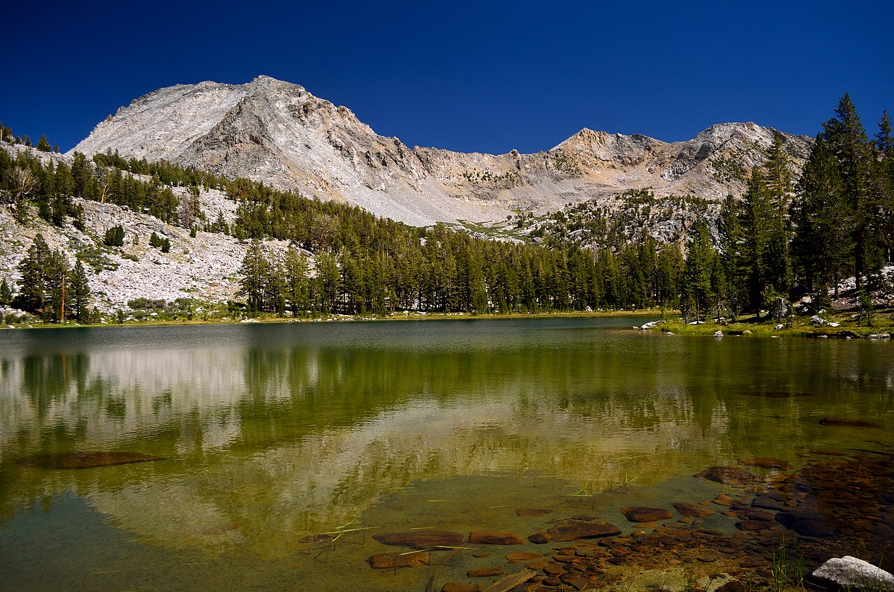 Photo: Tom Hilton, CC BY 2.0 (via Wikimedia Commons)
State Peak
~3 min drive
 Photo: Kurt Minard, CC BY-SA 3.0 (via Wikimedia Commons)
Middle Fork Kings River
~12 min drive
 Photo: Tom Hilton, CC BY 2.0 (via Flickr)
North Beach
~16 min drive
 Photo: ogwen, CC BY-SA 3.0 (via Wikimedia Commons)
Roaring River Falls
~19 min drive
Local operatorsoffering guided trips. You book directly with them — Roamze doesn’t take a cut.
Glacier Lodge
Hiking business nearby (~15 mi away) — hasn't claimed their Roamze page yet
Rainbow Pack Outfitters
Hiking business nearby (~18 mi away) — hasn't claimed their Roamze page yet
Bishop Pack Outfitters
Hiking business nearby (~21 mi away) — hasn't claimed their Roamze page yet
