Springs Trail
- 0.4 mi
- round trip
- 124 ft
- climb
- 3,880 ft
- high point
- Out and back
- route
- Apr–Jul, Sep–Nov
- best months
Is Springs Trail open right now?
Alert in the area
The Forest Service lists 2 alerts for San Bernardino National Forest.
Safety Alert - Falling Rocks at Bonita Falls
Agency alert covering San Bernardino National Forest · USFS · San Bernardino National Forest
Fire Restrictions
Agency alert covering San Bernardino National Forest · Order 05-12-00-26-05 · USFS · San Bernardino National Forest
As of · Source: USFS · San Bernardino National Forest. Agencies don't list every closure — check before you go.
Springs Trail is an easy, short outing in California's San Bernardino National Forest, within the San Jacinto Ranger District. The route is a back-loaded out-and-back, starting at 3,880 feet and peaking at 3,880 feet, with a total elevation gain of 124 feet. The climb is steepest at about 0.19 miles from the start, reaching a grade of about 12 percent, but the trail is only about 0.76 miles long, so the entire hike takes roughly half an hour. The most comfortable months for a visit are spring and fall. Typical averages from a nearby weather station in Idyllwild put May highs around 71°F and October highs around 72°F, while winter brings frequent snow days and highs in the mid-50s. That station sits about 1,500 feet lower than the trail, so temperatures on the trail run cooler. Several other trails lie within a few miles. Old Mine Trail is about 1.1 miles away, Cahuilla Mountain about 2.8 miles, and Comanche Trail about 3.6 miles. For climbing, Prospect Wall is about 9 miles off.
Local outfitters
- Borrego Outfitters31 mi away
Not on Roamze yet. Their page has how to reach them.
- Old Mine TrailHiking1.1 mi
- Cahuilla MountainHiking2.8 mi
- Comanche TrailHiking3.6 mi
- Cowboy Country TrailHiking4.3 mi
- Regal Blue TrailHiking5.4 mi
- Dusty TrailHiking5.4 mi
- AlessandroHiking5.8 mi
- Prospect WallRock climbing9 mi
Source: Roamze catalog (indexable pages within 10 miles, PostGIS distance)
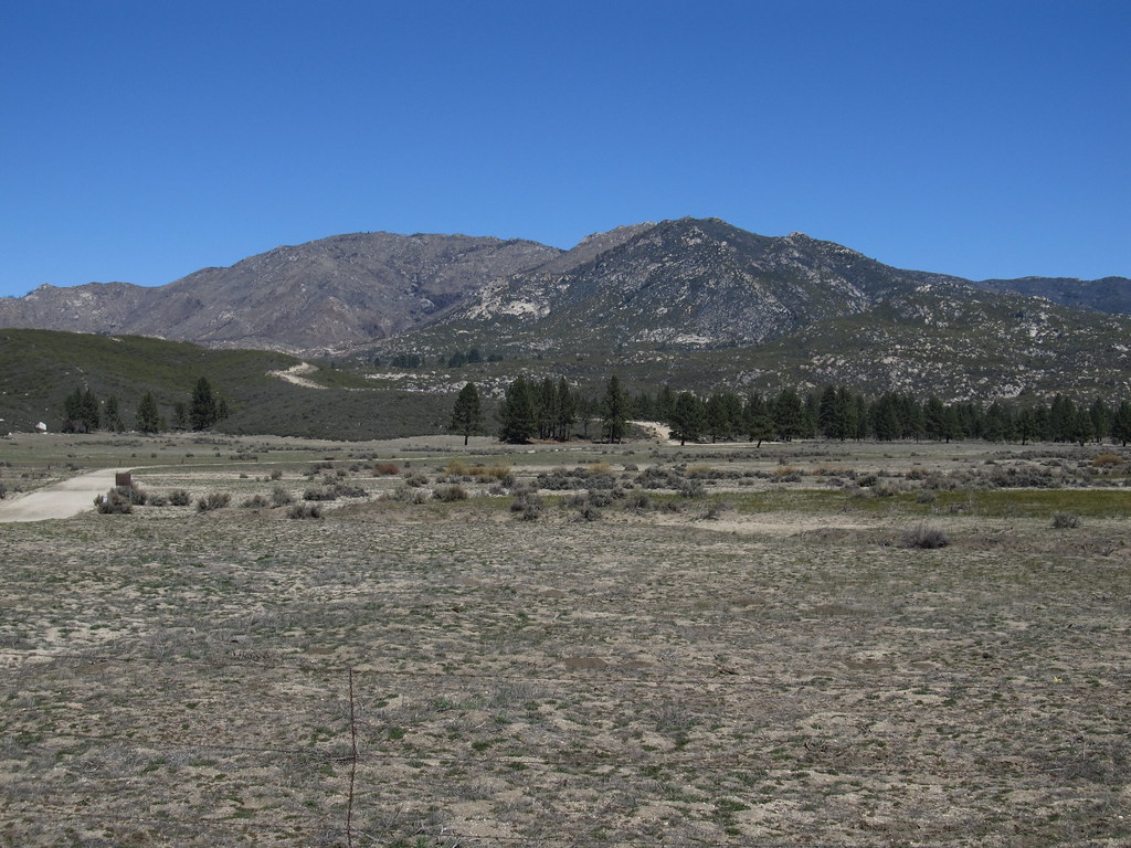 RamonaHiking · ~15 min drivePhoto: Ken Lund, CC BY-SA 2.0 (via Flickr)
 Elmsbush TrailHiking · ~16 min drivePhoto: (c) Matt Berger, some rights reserved (CC BY), CC BY 4.0 (via Wikimedia Commons)
- Table Mountain Truck TrailHiking · ~10 min drive
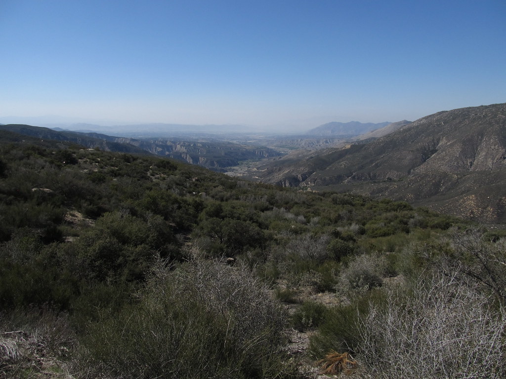 South ForkHiking · ~17 min drivePhoto: Ken Lund, CC BY-SA 2.0 (via Flickr)
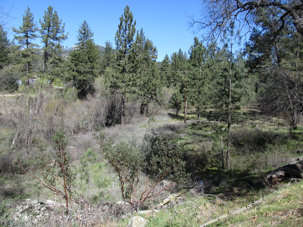 Blodgett Flat TrailHiking · ~18 min drivePhoto: Ken Lund, CC BY-SA 2.0 (via Flickr)
- California Riding and Hiking TrailHiking · ~18 min drive
- Cahuilla MountainHiking · ~5 min drive
- Blodgett Flat TrailHiking · ~19 min drivePhoto: Ken Lund, CC BY-SA 2.0 (via Flickr)
- Lower South Ridge TrailHiking · ~20 min drive
- AlessandroHiking · ~10 min drive
Best time to visit Springs Trail
Best months: April–July and September–November. Best months have typical highs of 55–85 °F, lows of 30 °F or warmer (32 °F where the station doesn't record snow), at most one snowy day and no more than 12 wet days.
Jan
55° / 31°
7 wet · 2 snow
Feb
54° / 30°
7 wet · 3 snow
Mar
59° / 32°
6 wet · 2 snow
Apr
64° / 35°
4 wet · 1 snow
May
71° / 41°
2 wet
Jun
80° / 48°
1 wet
Jul
85° / 55°
2 wet
Aug
86° / 55°
3 wet
Sep
81° / 50°
2 wet
Oct
72° / 42°
2 wet
Nov
62° / 35°
4 wet · 1 snow
Dec
54° / 30°
6 wet · 2 snow
Typical high / low (°F) and days with rain or snow, 1991–2020. Measured at Idyllwild Fire Dept, CA, 14.2 mi away at 5,380 ft. The station sits about 1,500 ft higher than this place, so expect it a little warmer here. Source: NOAA NCEI U.S. Climate Normals 1991–2020.
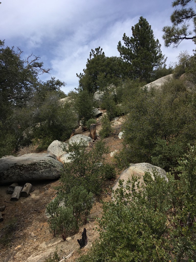
Map and trail data © OpenStreetMap contributors
