River Run Resort
Campground
Campground · 0.4 mi from the trail
Alert in the area
The Forest Service lists an alert for Tahoe National Forest.
Camping and Campfire Restrictions-Truckee and Sierraville Districts
Agency alert covering Tahoe National Forest · Order 17-25-05 · USFS · Tahoe National Forest
As of · Source: USFS · Tahoe National Forest. Agencies don't list every closure — check before you go.
South Yuba is a hard hike in California's Tahoe National Forest, within the Yuba River Ranger District. It is an out-and-back route of about 18 miles, with a one-way elevation gain of 1,784 feet from a low point of 2,229 feet to a high of 3,017 feet. The trailhead is called South Yuba Trailhead, and the Forest Service manages the land. The hike is rated hard, and the trail is a natural surface. Bikes are allowed. The most comfortable time to go is late spring or early fall. Typical averages from the nearby Downieville weather station show May highs around 72°F and October highs around 72°F, while July and August average highs near 89°F. Nearby, the Ancho Erie Mine Trail is about 2 miles away. Skillman G.Cg, the Skillman Nordic cross-country ski area and the South Yuba River, all sit within about 3 miles.
River Run Resort
Campground
Firehouse Number 1 Museum
Museum
Places © OpenStreetMap contributors, Places © Overture Maps Foundation
More in Nevada CityNot on Roamze yet. Their page has how to reach them.
 South Yuba RiverCanoeingPhoto: J.smith, CC BY-SA 3.0 (via Wikimedia Commons)3.1 mi
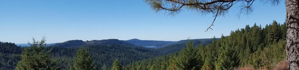 White CloudCampingPhoto: Recreation.gov (RIDB) / public domain3.4 mi
Source: Roamze catalog (indexable pages within 10 miles, PostGIS distance)
 OMEGA OVERLOOK MC TRAILHiking · ~5 min drivePhoto: jdnx, CC BY 2.0 (via Flickr)Rocky Pioneer TrailHiking · ~5 min drivePhoto: jdnx, CC BY 2.0 (via Flickr)HallelujahHiking · ~5 min drivePhoto: jdnx, CC BY 2.0 (via Flickr)
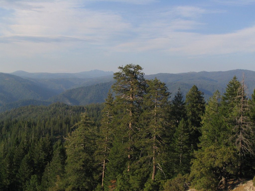 OMEGA MC TRAILHiking · ~7 min drivePhoto: Ken Lund, CC BY-SA 2.0 (via Flickr)DEER CREEK MCHiking · ~7 min drivePhoto: Ken Lund, CC BY-SA 2.0 (via Flickr)
 LAST CHANCE MC TRAILHiking · ~8 min drivePhoto: jdnx, CC BY 2.0 (via Flickr)
 Humbug TrailHiking · ~11 min drivePhoto: Rebeca.stovall, CC BY-SA 3.0 (via Wikimedia Commons)Rim TrailHiking · ~11 min drivePhoto: Rebeca.stovall, CC BY-SA 3.0 (via Wikimedia Commons)
Best months: April–June and September–November. Best months have typical highs of 55–85 °F, lows of 30 °F or warmer (32 °F where the station doesn't record snow), at most one snowy day and no more than 12 wet days.
Jan
48° / 30°
12 wet · 2 snow
Feb
52° / 31°
11 wet · 2 snow
Mar
58° / 33°
11 wet · 2 snow
Apr
63° / 36°
9 wet · 1 snow
May
72° / 42°
7 wet
Jun
81° / 46°
3 wet
Jul
89° / 51°
1 wet
Aug
89° / 50°
1 wet
Sep
83° / 46°
2 wet
Oct
72° / 39°
5 wet
Nov
56° / 33°
9 wet · 1 snow
Dec
46° / 29°
12 wet · 2 snow
Typical high / low (°F) and days with rain or snow, 1991–2020. Measured at Downieville, CA, 14.1 mi away at 2,915 ft. Source: NOAA NCEI U.S. Climate Normals 1991–2020.

