Loading…

Free — you'll pick up right here.
Watch this trail
Sign up to watch it — saving subscribes you to gate, closure and report changes.
California
5.8 mi
Distance
977 ft
Gain
We won't guess. Here is exactly what we do and don't know.
What we do know
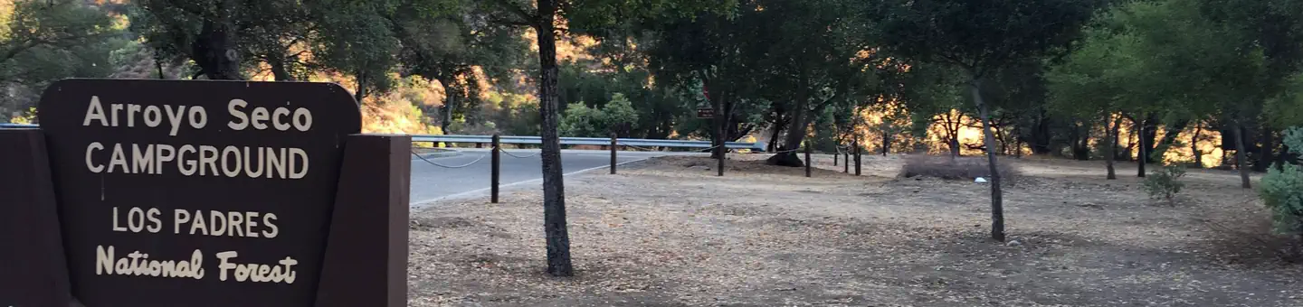
Inside Los Padres National Forest
3 managing-area boundaries mapped — agency alerts for them feed this page automatically.
Boundary data
What's missing
No access route mapped
We don't yet know which road reaches this trailhead, so we can't tell you if it's gated.
Nobody's filed a report here yet — be the first.
Why you'll love it
South Fork
AI-suggested draft · review before you go
South Fork is a moderate 5.76-mile trail offering nearly 1,000 feet of elevation gain through California's diverse terrain. This out-and-back or loop route provides a solid mid-range workout with steady climbing and rewarding views of the surrounding landscape. The trail showcases the natural character of the South Fork region with mixed forest and open sections typical of California's foothill and mountain transitions.
Black Cone
~2 min drive
Steep volcanic summit hike with 1,553 ft gain in under 3 miles.
De Angulo
~8 min drive
Moderate 6.81-mile climb with 3,192 ft elevation gain in De Angulo.
Puerto Suelo
~15 min drive
Steady 5-mile climb with 2,172 ft gain through California foothills.
Tony
~7 min drive
Easy 1.33-mile trail with 242 ft gain near Tony, California.
Pine Ridge
~14 min drive
Strenuous 17.5-mile backcountry trek with 3,628 ft elevation gain.
Mt. Manuel
~16 min drive
Steep 3.79-mile climb with 2,453 ft gain; challenging coastal range ascent.
Bear Basin
~10 min drive
Easy 1.68-mile walk through Bear Basin with minimal elevation gain.
Lost Valley
~14 min drive
Challenging 21.97-mile backcountry trail with 3,192 ft elevation gain.
Rodeo Flat
~17 min drive
Moderate 5.25-mile climb with 2,419 ft gain near Rodeo Flat.
Marble Peak
~12 min drive
Quick alpine summit with 146 ft gain near Marble Peak, California.