Strawberry Camp
Campground
Campground · < 0.1 mi from the trail
Caution today
Agency alerts are in effect for this area; weather is good · USFS, OpenWeather · checked 2 h ago
Closure in the area
There's a closure order in Monterey Ranger District. It doesn't name Black Cone, so check the source for the area it covers.
Monterey Ranger District Emergency Closure Order with Exceptions
Agency closure covering Monterey Ranger District · Order 05-07-51-26-11 · USFS · Monterey Ranger District
Los Padres Fire Use and Firearm Restrictions
Agency alert covering Los Padres National Forest · Order 05-07-00-26-05 · USFS · Los Padres National Forest
San Carpoforo Beach Prohibition of Overnight Camping and Campfires
Agency alert covering Monterey Ranger District · Order 05-07-51-26-03 · USFS · Monterey Ranger District
Santa Barbara Front Country Fire Use Restrictions
Agency alert covering Los Padres National Forest · Order 05-07-5406-01 · USFS · Los Padres National Forest
As of · Source: USFS · Monterey Ranger District. Agencies don't list every closure — check before you go.
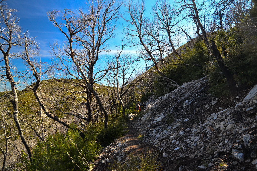
Black Cone is a 2.6-mile out-and-back hike in California's Ventana Wilderness, within the Monterey Ranger District of Los Padres National Forest. The trail rises from about 2,867 feet to 3,675 feet, a climb of 788 feet, and is rated easy. The Forest Service manages the land, and the route is natural-surfaced, with horses allowed and bikes not. The trail is not accessible. It is open year-round, and the South Fork Trail starts just 0.1 mile away. Marble Peak Trail lies about 1.5 miles off, and the South Fork route is about 1.1 miles away. For camping, China Camp is roughly 6.6 miles from the trail.
Strawberry Camp
Campground
Sykes Hot Spring
Hot spring
Places © OpenStreetMap contributors
More in GonzalesSource: Roamze catalog (indexable pages within 10 miles, PostGIS distance)
 Ewoldsen trailHiking · ~7 min drivePhoto: sergei.gussev, CC BY 2.0 (via Flickr)
 Waters TrailHiking · ~8 min drivePhoto: David Jones, CC BY 2.0 (via Flickr)
 Tan Bark TrailHiking · ~9 min drivePhoto: tdlucas5000, CC BY 2.0 (via Flickr)
 Marble PeakHiking · ~10 min drivePhoto: ilya_ktsn, CC BY 2.0 (via Flickr)
 Pine Ridge TrailHiking · ~11 min drivePhoto: nelsonb, CC BY 4.0 (via Wikimedia Commons)Indians to Santa Lucia Connector TrailHiking · ~11 min drivePhoto: ilya_ktsn, CC BY 2.0 (via Flickr)Santa Lucia TrailHiking · ~11 min drivePhoto: ilya_ktsn, CC BY 2.0 (via Flickr)
 Bear Basin ConnectorHiking · ~10 min drivePhoto: ilya_ktsn, CC BY 2.0 (via Flickr)
 Black Cone TrailHiking · ~9 min drivePhoto: yargeritaville, CC0 (via Wikimedia Commons)
 Bear Basin TrailHiking · ~11 min drivePhoto: yargeritaville, CC0 (via Wikimedia Commons)

