Camp Creek Camp
Campground
Campground · 0.3 mi from the trail
Closure in the area
There's a closure order in Monterey Ranger District. It doesn't name Marble Peak Trail, so check the source for the area it covers (2 listed).
Monterey Ranger District Timber Fire and Plaskett Fire Emergency Closure
Agency closure covering Monterey Ranger District · Order 05-07-51-26-12 · USFS · Monterey Ranger District
Monterey Ranger District Emergency Closure Order with Exceptions
Agency closure covering Monterey Ranger District · Order 05-07-51-26-11 · USFS · Monterey Ranger District
Los Padres Fire Use and Firearm Restrictions
Agency alert covering Los Padres National Forest · Order 05-07-00-26-05 · USFS · Los Padres National Forest
San Carpoforo Beach Prohibition of Overnight Camping and Campfires
Agency alert covering Monterey Ranger District · Order 05-07-51-26-03 · USFS · Monterey Ranger District
Santa Barbara Front Country Fire Use Restrictions
Agency alert covering Los Padres National Forest · Order 05-07-5406-01 · USFS · Los Padres National Forest
As of · Source: USFS · Monterey Ranger District. Agencies don't list every closure — check before you go.
Marble Peak Trail is a long, steep out-and-back hike in California's Ventana Wilderness, part of the Monterey Ranger District of Los Padres National Forest. The Forest Service manages the land, and the route starts at about 2,867 feet, rising to a high point of 3,841 feet. The total climb is 6,560 feet, and the round trip covers about 25 miles, which makes this a serious commitment for anyone planning a day on foot. The trail is rated expert, and the climb is not for the faint of heart. The route is roughly 12.5 miles one way, with an elevation gain of about 3,227 feet, and the full round trip adds up to more than 6,500 feet of climbing and descending. Several other trails sit within a couple of miles, including Tony Trail, South Fork Trail and Black Cone. For an overnight base, Arroyo Seco Campground is about 6 miles away.
Camp Creek Camp
Campground
Sykes Hot Spring
Hot spring
Places © OpenStreetMap contributors
More in GonzalesDaily highs and lows, wind and the chance of precipitation at the summit and route start for the next 7 days, from the Open-Meteo model.
Source: Roamze catalog (indexable pages within 10 miles, PostGIS distance)
 Marble PeakHiking · ~7 min drivePhoto: ilya_ktsn, CC BY 2.0 (via Flickr)Indians to Santa Lucia Connector TrailHiking · ~8 min drivePhoto: ilya_ktsn, CC BY 2.0 (via Flickr)Santa Lucia TrailHiking · ~9 min drivePhoto: ilya_ktsn, CC BY 2.0 (via Flickr)
 Ewoldsen trailHiking · ~10 min drivePhoto: sergei.gussev, CC BY 2.0 (via Flickr)
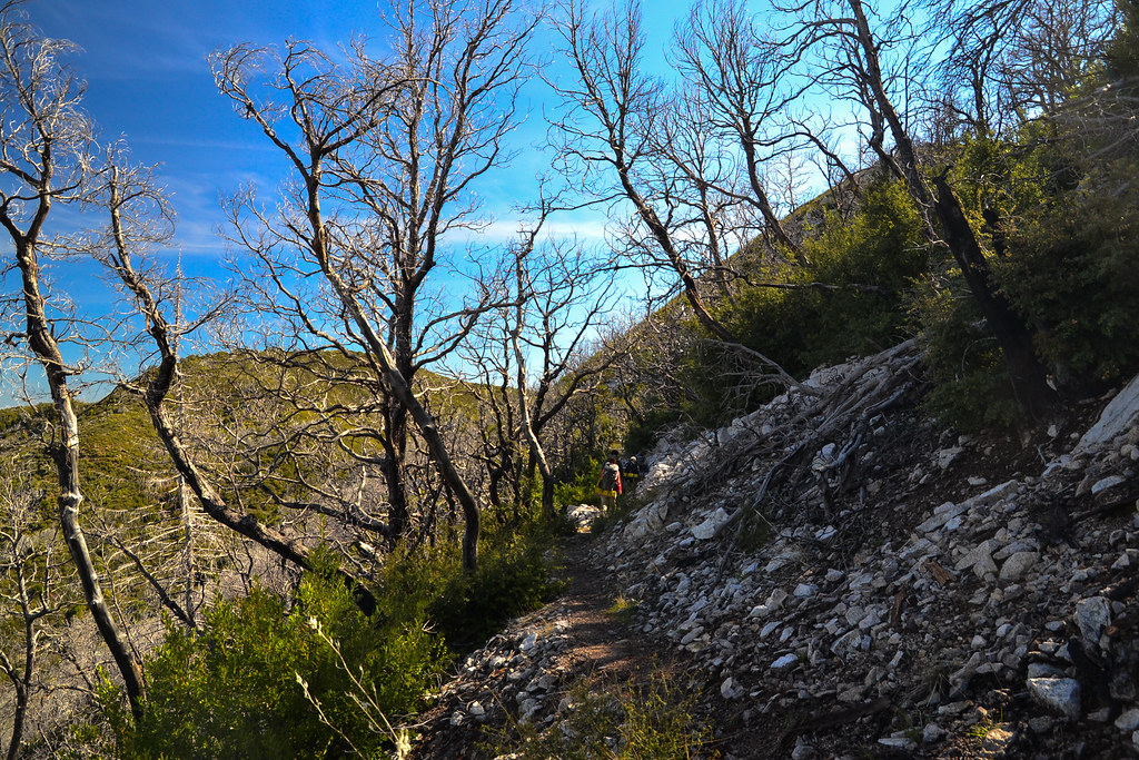 Bear Basin ConnectorHiking · ~12 min drivePhoto: ilya_ktsn, CC BY 2.0 (via Flickr)
 Arroyo Seco Ridge TrailHiking · ~9 min drivePhoto: ilya_ktsn, CC BY 2.0 (via Flickr)
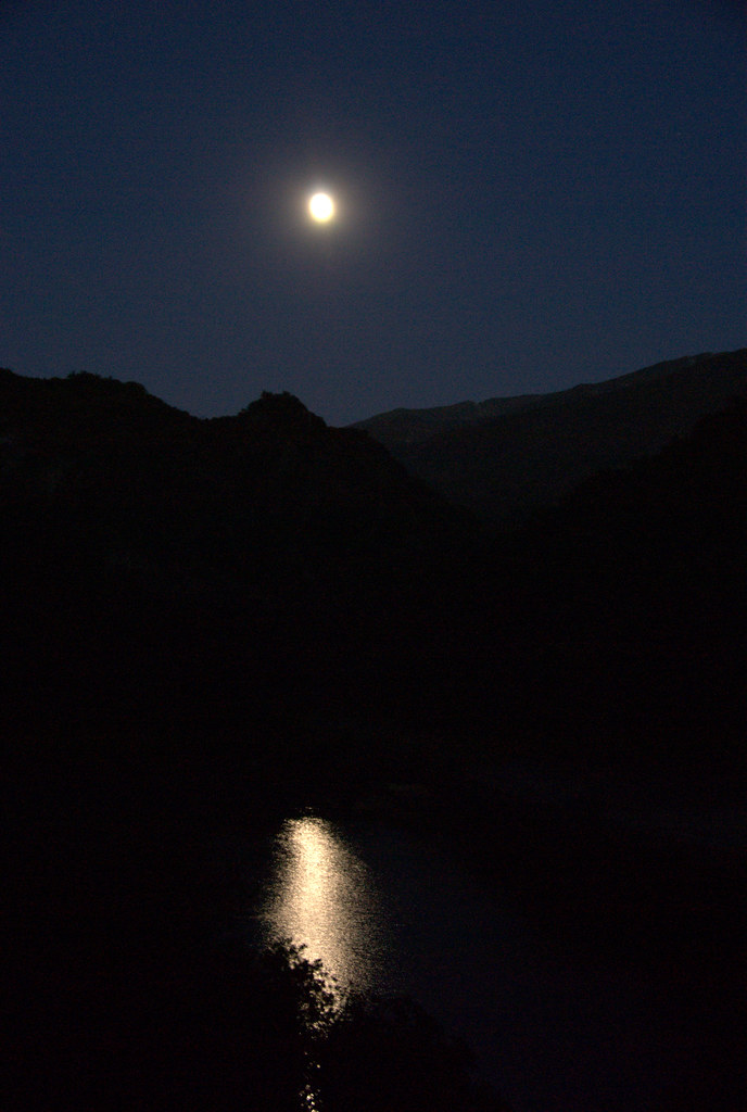 Rocky Creek TrailHiking · ~10 min drivePhoto: IvyMike, CC BY 2.0 (via Flickr)
 Black Cone TrailHiking · ~11 min drivePhoto: yargeritaville, CC0 (via Wikimedia Commons)Camp CawatreHiking · ~10 min drivePhoto: IvyMike, CC BY 2.0 (via Flickr)
About 12.6 mi round trip.
About 6,560 ft of climbing round trip.
It is rated expert.
About 6 hours round trip.
2: MARBLE PEAK and Marble Peak Trail.
Map and trail data © OpenStreetMap contributors

