Sno-Whaleback Mountain
- 1.2 mi
- round trip
- 865 ft
- climb
- 6,046 ft
- high point
- Out and back
- route
Sno-Whaleback Mountain is an easy out-and-back hike in the Eagle Lake Ranger District of Lassen National Forest in California, managed by the Forest Service. The route is about 2.3 miles long, with a total elevation gain of 865 feet, and it reaches a high point of 6,046 feet. The climb is steady, and the steepest stretch comes at about 0.74 miles in, with a grade of 14 percent. The most comfortable months for a visit are typically July and August, when typical averages from the nearby Manzanita Lake weather station run from the upper 70s to about 79°F for highs, with lows in the mid-40s. That station sits at a similar elevation to the trail, so temperatures on the mountain run about the same. The trip takes about an hour, and the trail starts close to Whaleback Mountain, which is about 0.1 mile away. Pine Creek Valley is about 3 miles off, and Christie Campground and Gallatin Marina are both within about 7 miles.
- WHALEBACK MOUNTAINHiking0.1 mi
- PINE CREEK VALLEYHiking3.1 mi
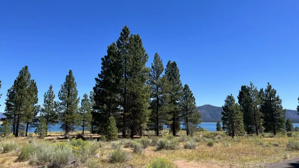 Christie CampgroundCampingPhoto: Recreation.gov (RIDB) / public domain5.5 mi
- MerrillCamping7 mi
- Gallatin MarinaLake fishing7.1 mi
- Hidden Change Interp. TrailHiking7.2 mi
- GallatinHiking7.4 mi
- Aspen GroveCamping7.5 mi
Source: Roamze catalog (indexable pages within 10 miles, PostGIS distance)
 Emerald-Cypress CaribouHiking · ~34 min drivePhoto: Seth Tisue, CC BY-SA 2.0 (via Flickr)
- Gem Lake CaribouHiking · ~35 min drivePhoto: Seth Tisue, CC BY-SA 2.0 (via Flickr)
- PINE CREEK VALLEYHiking · ~5 min drive
- FREDONYER SHORT LOOPHiking · ~34 min drive
 Caribou-N. Divide CaribouHiking · ~33 min drivePhoto: Seth Tisue, CC BY-SA 2.0 (via Flickr)
- Hidden Change Interp. TrailHiking · ~12 min drive
- Bizz Johnson TrailHiking · ~30 min drive
- BUTTE LAKEHiking · ~34 min drive
- Jewel LakeHiking · ~34 min drivePhoto: Seth Tisue, CC BY-SA 2.0 (via Flickr)
- GallatinHiking · ~13 min drive
