Smashmouth Trail
- 4.6 mi
- round trip
- 4,741 ft
- climb
- 3,864 ft
- high point
- Out and back
- route
Is Smashmouth Trail open right now?
Closure in the area
There's a closure order in Cleveland National Forest. It doesn't name Smashmouth Trail, so check the source for the area it covers.
Airport Fire Burned Area Closure
Agency closure covering Cleveland National Forest · Order 02-26-09 · USFS · Cleveland National Forest
Cedar Creek Falls Visitor Use Permit Area
Agency alert covering Cleveland National Forest · Order 02-26-07 · USFS · Cleveland National Forest
Cedar Creek Falls Cliff Closure Area
Agency alert covering Cleveland National Forest · Order 02-26-06 · USFS · Cleveland National Forest
Cedar Creek Falls Alcohol Prohibition
Agency alert covering Cleveland National Forest · USFS · Cleveland National Forest
As of · Source: USFS · Cleveland National Forest. Agencies don't list every closure — check before you go.
Smashmouth Trail is a 9.3-mile out-and-back hike in California's Cleveland National Forest, within the Trabuco Ranger District. The route starts and ends at about 3,864 feet, and the high point of the trip is the same as the starting elevation. That makes the trail a loop of ups and downs rather than a climb from base to summit, but the total gain and loss over the round trip are both about 4,741 feet. The trail is rated expert. It's a rolling route with a steep section at about 2.2 miles, where the grade reaches 42 percent. Plan on about 5.5 hours for the round trip. Ladd Canyon lies about 1.4 miles away, and the Skinsuit Trail is about 1.7 miles off. Climbers can find Black Star Canyon Bouldering about 3 miles away, and the Troy Lee Trail is about 3 miles away.
 Ladd CanyonHikingPhoto: Northwalker, CC0 (via Wikimedia Commons)1.4 mi
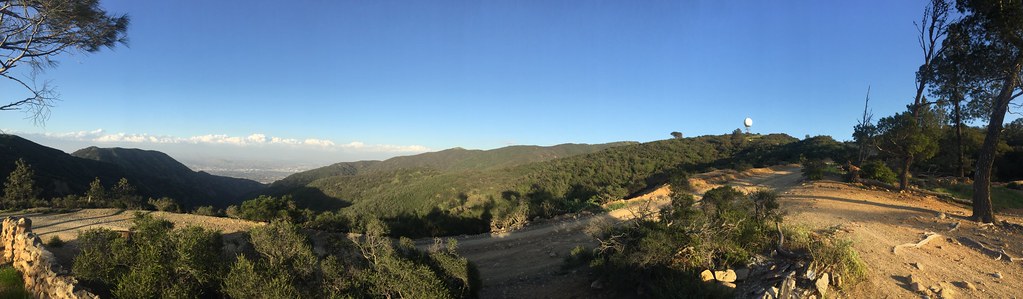 Skinsuit TrailHikingPhoto: bensondoc, CC BY-SA 2.0 (via Flickr)1.7 mi
- Black Star Canyon BoulderingRock climbing3 mi
 Troy Lee TrailHikingPhoto: sergei.gussev, CC BY 2.0 (via Flickr)3 mi
 Silverado Motor WayHikingPhoto: Steve Riggins, CC BY 3.0 (via Wikimedia Commons)3.4 mi
- Silverado Truck TrailHiking4 mi
 Silverado CreekHikingPhoto: Hobart56, CC BY-SA 3.0 (via Wikimedia Commons)4.5 mi
- Batman BoulderRock climbing9 mi
Source: Roamze catalog (indexable pages within 10 miles, PostGIS distance)
- Ladd CanyonHiking · ~2 min drivePhoto: Northwalker, CC0 (via Wikimedia Commons)
- Sil Mod LoopHiking · ~7 min drivePhoto: Hobart56, CC BY-SA 3.0 (via Wikimedia Commons)
 Black Star SCE TrailHiking · ~8 min drivePhoto: theforestprimeval, CC BY-SA 2.0 (via Flickr)
- Harding Truck TrailHiking · ~10 min drive
- Skinsuit TrailHiking · ~3 min drivePhoto: bensondoc, CC BY-SA 2.0 (via Flickr)
- Silverado CreekHiking · ~8 min drivePhoto: Hobart56, CC BY-SA 3.0 (via Wikimedia Commons)
 JoplinHiking · ~11 min drivePhoto: nazotoko, CC BY 2.0 (via Flickr)
- Troy Lee TrailHiking · ~5 min drivePhoto: sergei.gussev, CC BY 2.0 (via Flickr)
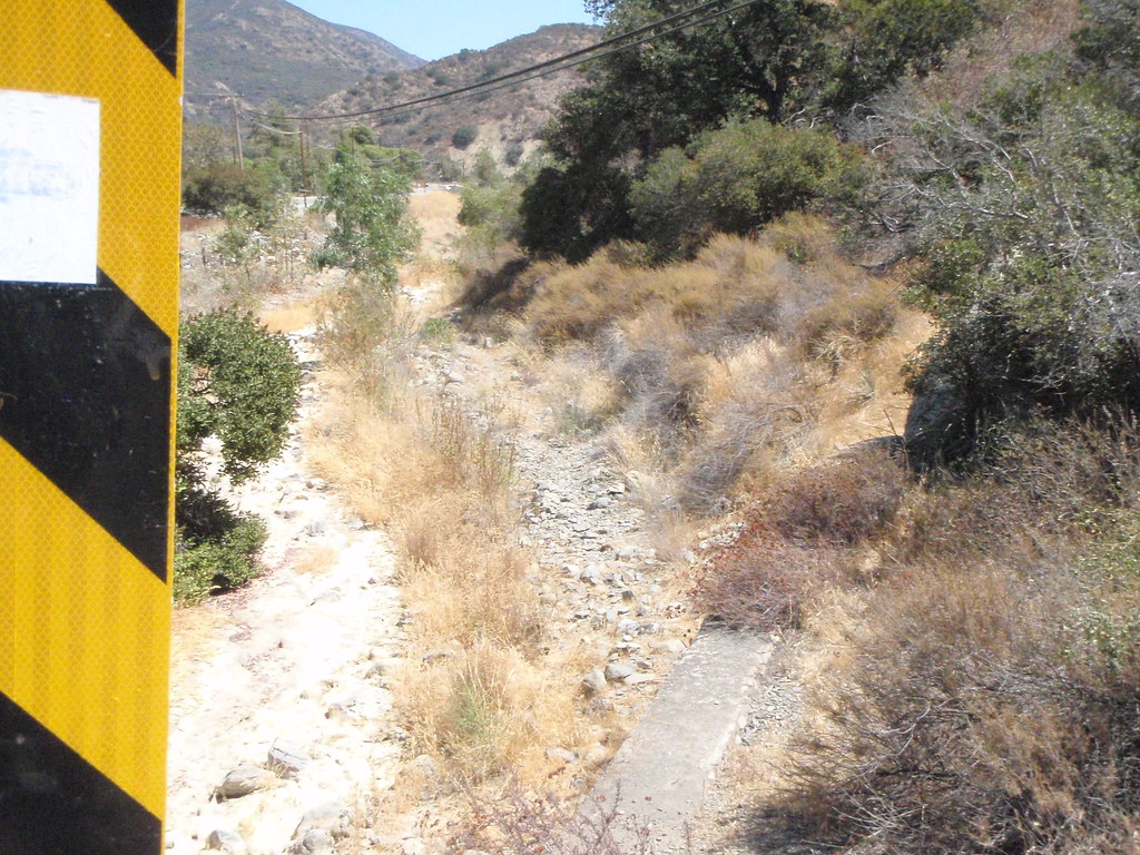 School TrailHiking · ~8 min drivePhoto: nazotoko, CC BY 2.0 (via Flickr)
 Cold Water CanyonHiking · ~13 min drivePhoto: rmceoin, CC BY 2.0 (via Flickr)

Map and trail data © OpenStreetMap contributors
