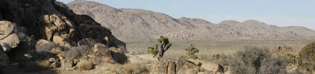
Loading…

Free — you'll pick up right here.
Watch this trail
Sign up to watch it — saving subscribes you to gate, closure and report changes.
California
153 ft
Gain
We won't guess. Here is exactly what we do and don't know.
What we do know
Inside Joshua Tree National Park
National Park unit boundary is mapped — agency alerts for it feed this page automatically.
Boundary data
What's missing
No access route mapped
We don't yet know which road reaches this trailhead, so we can't tell you if it's gated.
Nobody's filed a report here yet — be the first.
Why you'll love it
Skull Rock and Discovery Trail Trailheads
AI-suggested draft · review before you go
No permit or access details on file for this trail — check with the local land manager before you go.
Located along Park Boulevard between Jumbo Rocks and Live Oak, these trailheads provide access to the Skull Rock Nature Trail and the Discovery Trail. The Skull Rock Nature Trail is a 1.7 mile loop that can be started from trailheads on either side of the road. The north side of the loop also provides access to the Discovery Trail. Both trails are dirt and rock, include stairs and steep sections, and have narrow locations.
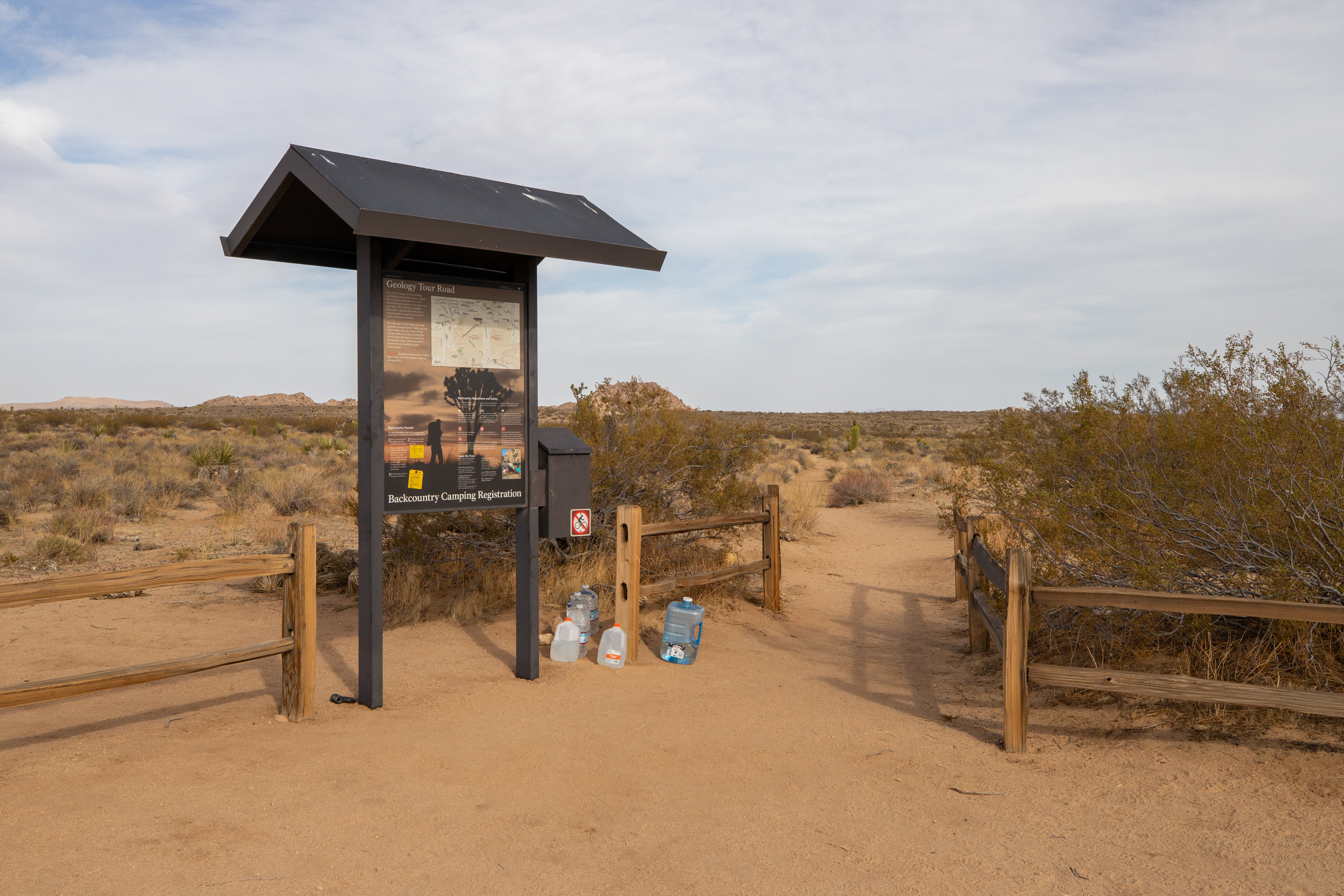
California Riding and Hiking Trail at Geology Tour Road
~3 min drive
<p>Take a hike east or west from here on the California Riding and Hiking Trail. Carry water with you. The California Riding and Hiking Trail is 37 miles total, but smaller sections are popular day-hikes. This trailhead is in the middle of the California Riding and Hiking Trai…
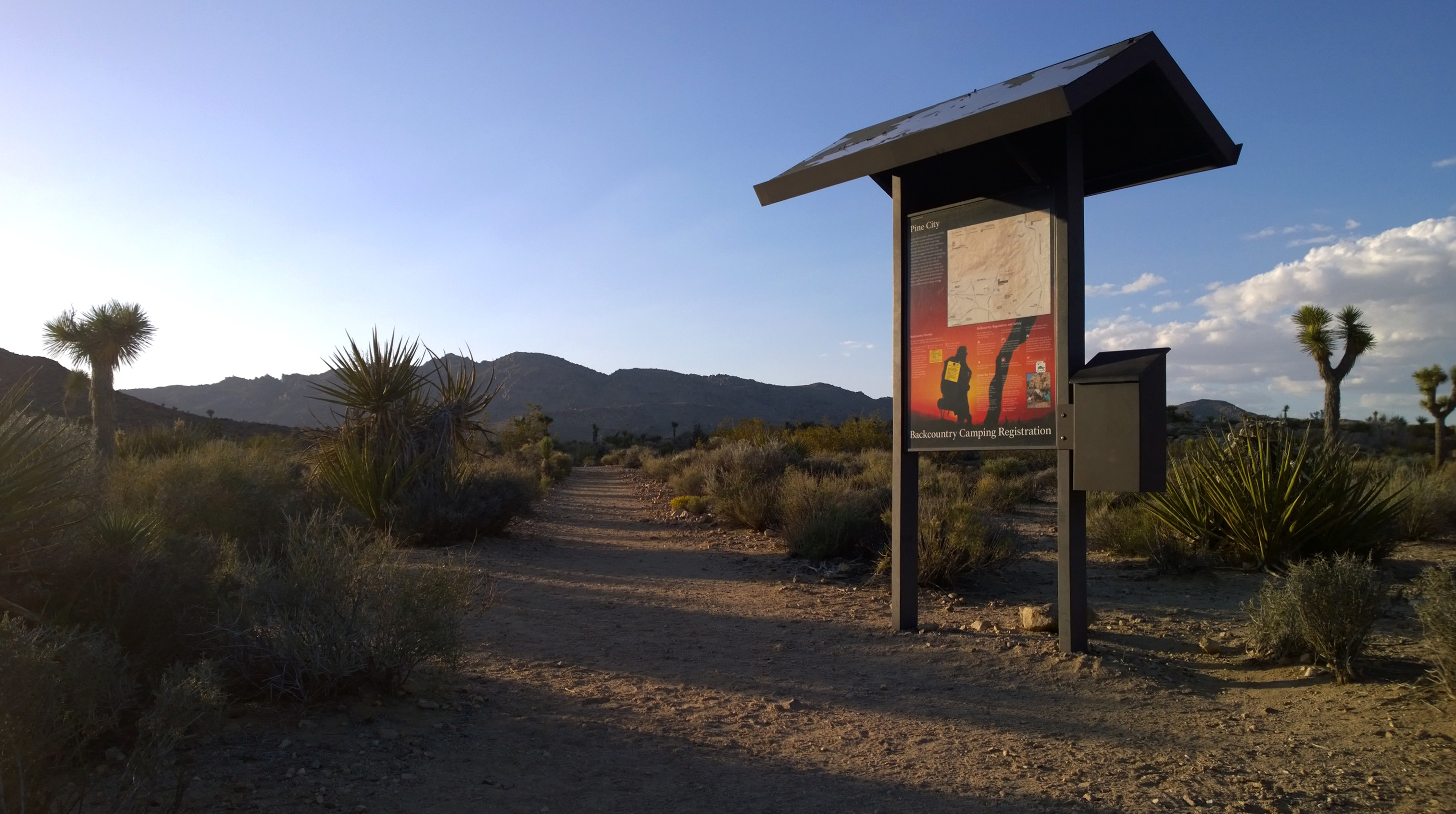
Lucky Boy Loop Trailhead
~3 min drive
<p paraeid="{52b92e0a-0a54-4723-a658-5668a4beb5b9}{82}" paraid="1852801838">Lucky Boy Loop is a 3.25-mile hike with 555 ft of elevation gain. This loop leads hikers through diverse scenery of desert vegetation, rock formations, vista points, and the remains of Elton Mine. Look…
Pine City Trailhead
~3 min drive
<p>Pine City Trailhead is located in the central portion of the park at the east end of Queen Valley Road. This trailhead provides access to the Pine City Trail and the Lucky Boy Vista Trail. The Pine City Trail is a four mile out and back mostly sand and level trail with occa…
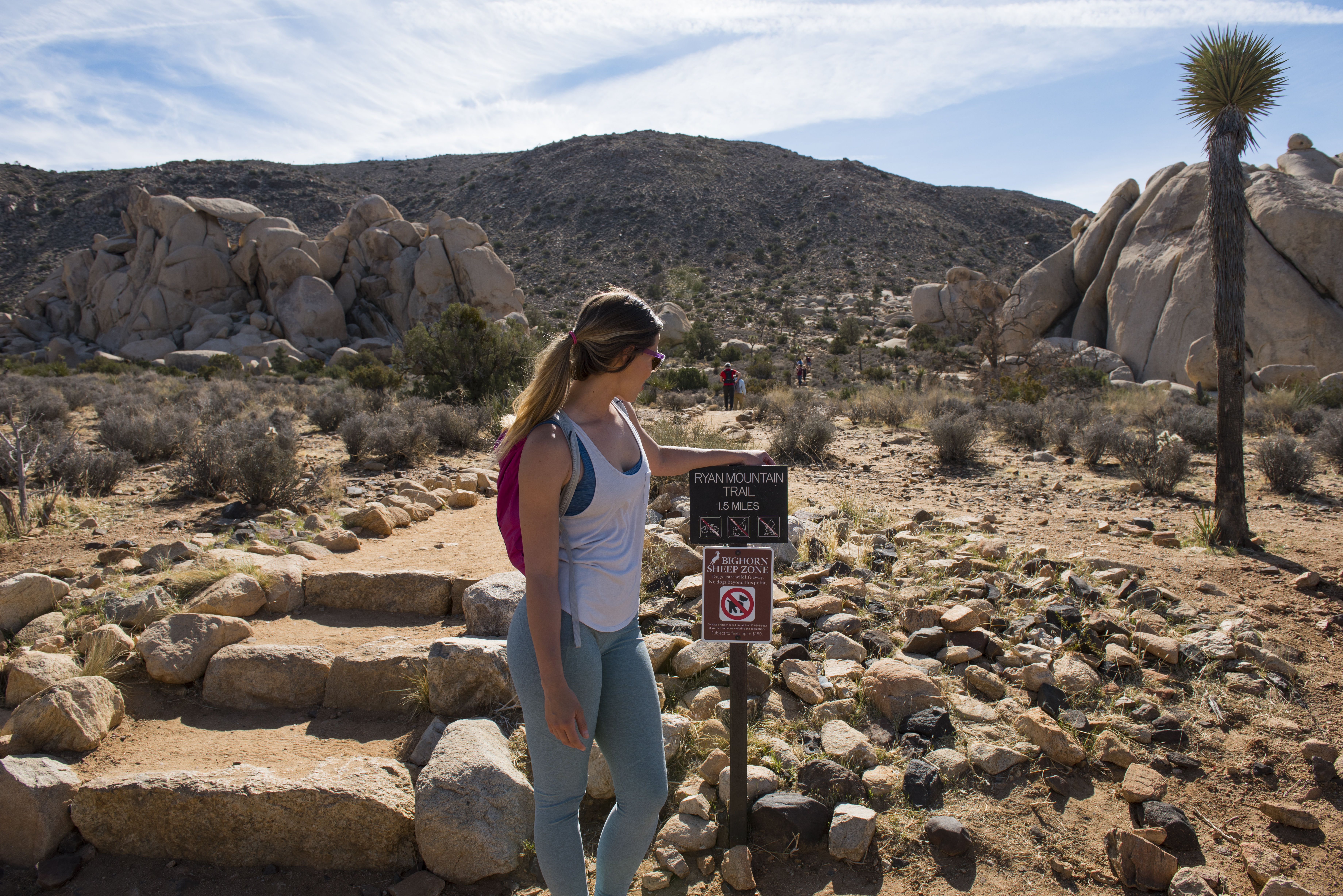
Ryan Mountain Trailhead
~7 min drive
<p paraeid="{8cc8f37b-3c36-45c6-83d6-94e72c114c11}{25}" paraid="396559091">Ryan Mountain is a 3-mile (round trip) out-and-back hike with 1,050 feet of elevation gain. The summit rewards hikers with one of the best 360-degree views of any trail in the park. From the summit, you…
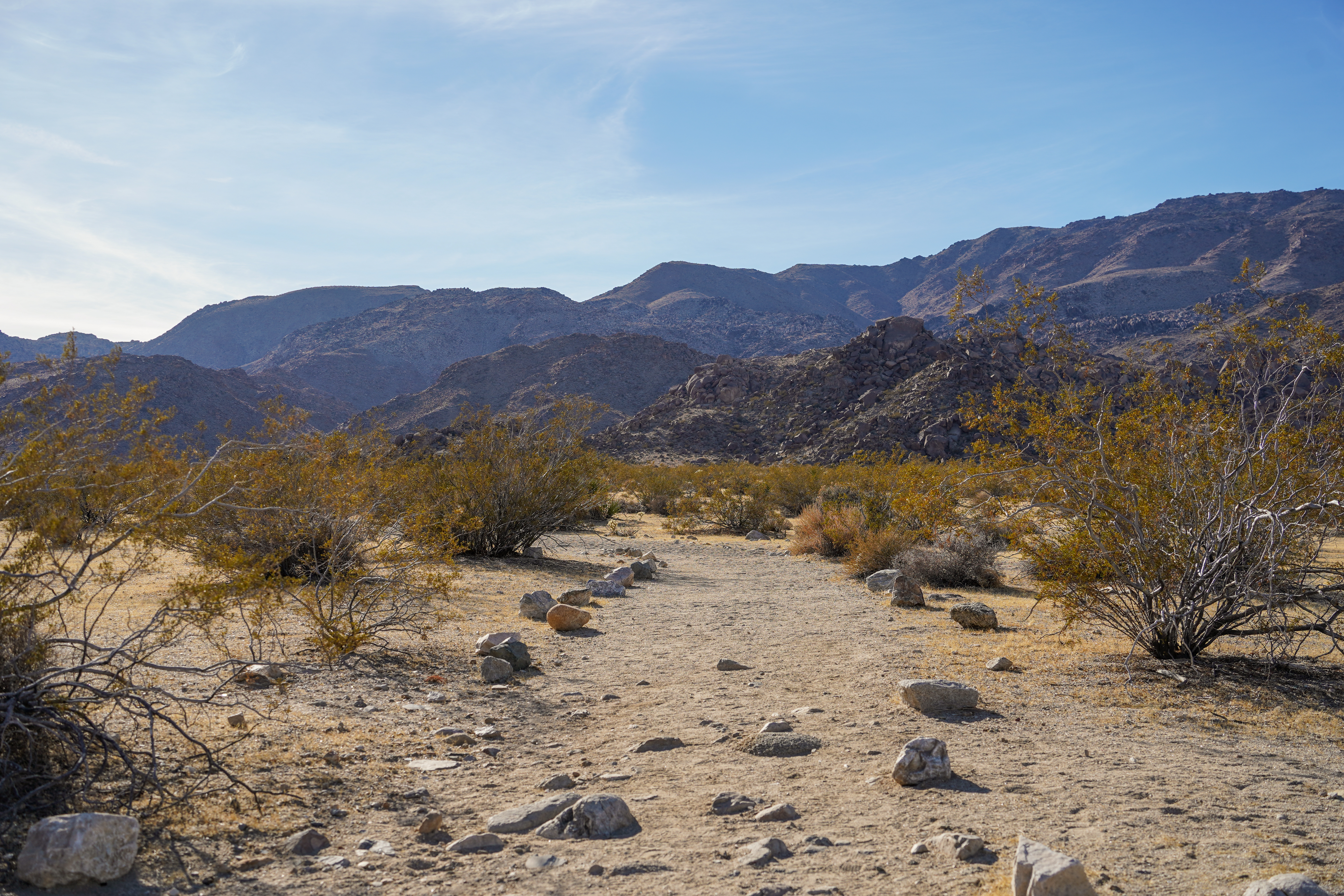
Desert Tortoise (Contact Mine)
~9 min drive
The Contact Mine Trail is an out-and-back hike to a historic mining site. It is 4-miles round trip with 700 feet of elevation gain. The trail begins in a sandy wash then ascends a rocky mountainside to the mine. The hike features expansive views of the surrounding mountains an…
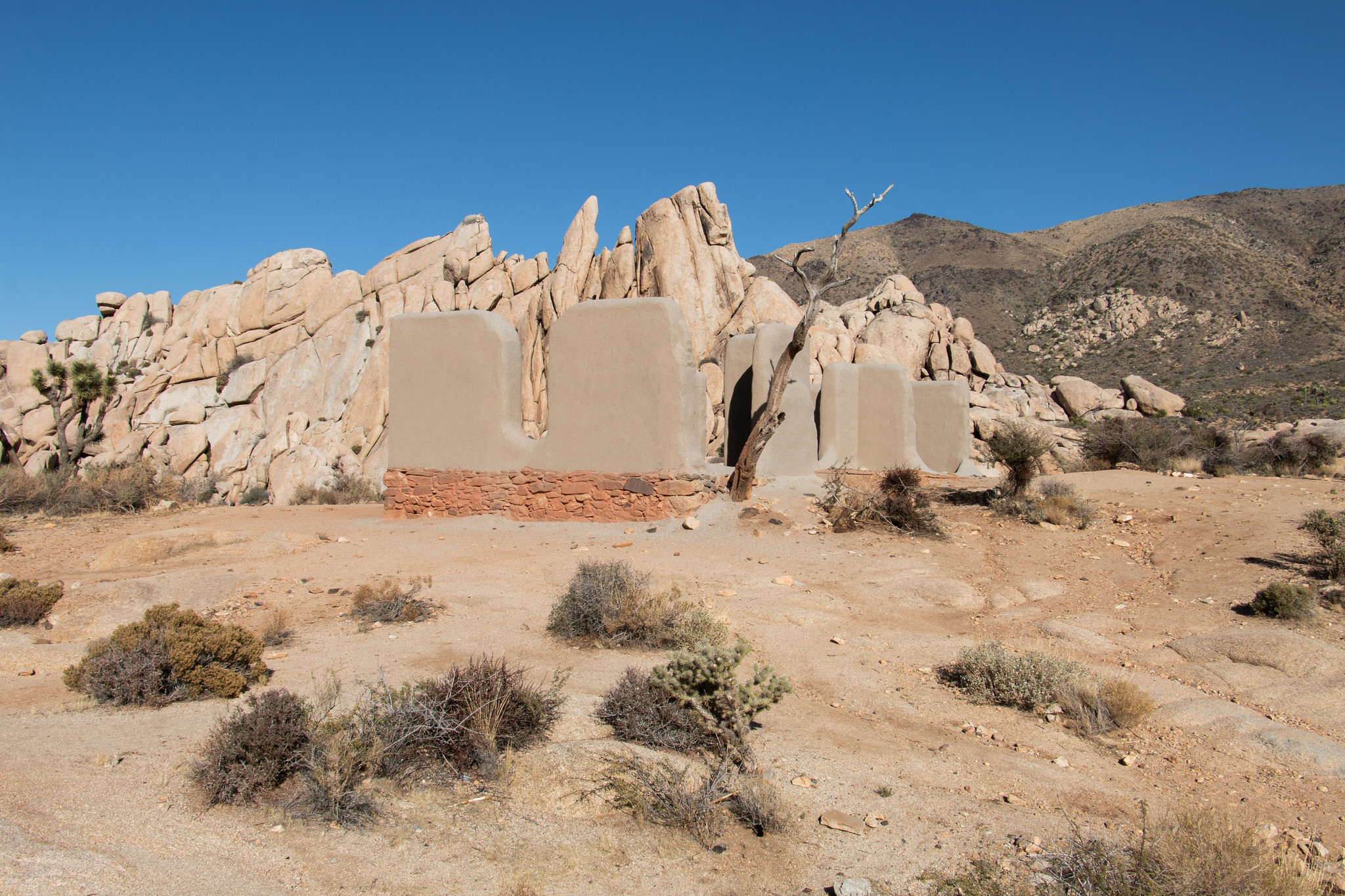
Ryan Ranch Trailhead
~9 min drive
<p paraeid="{5b31bcd1-638e-43cd-9cfa-6ec1a4d5f5ae}{107}" paraid="1311873658">Ryan Ranch is a one-mile (round trip) out-and-back hike with a 135-foot elevation gain. The trail travels along an old ranch road to a historic adobe structure at the base of Ryan Mountain. Ryan Ranch…
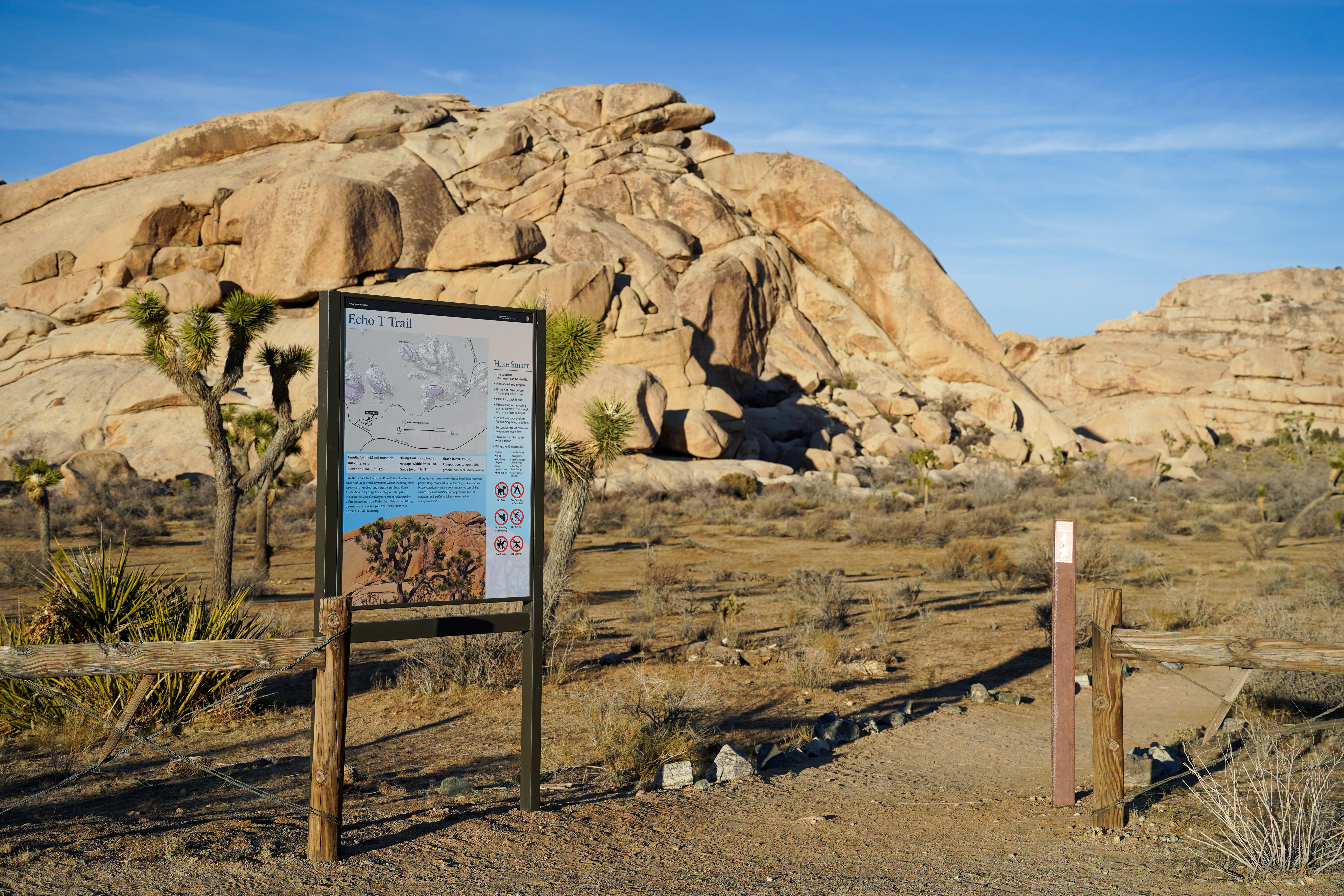
Echo T Trailhead
~10 min drive
Take the Echo T Trail to connect to the Barker Dam Trail from the Echo T parking lot. This trail follows a wash near unique rock formations. Meander among Joshua trees and other desert plants. Watch for climbers or try to spot desert bighorn sheep. Get ready for a minor rock s…
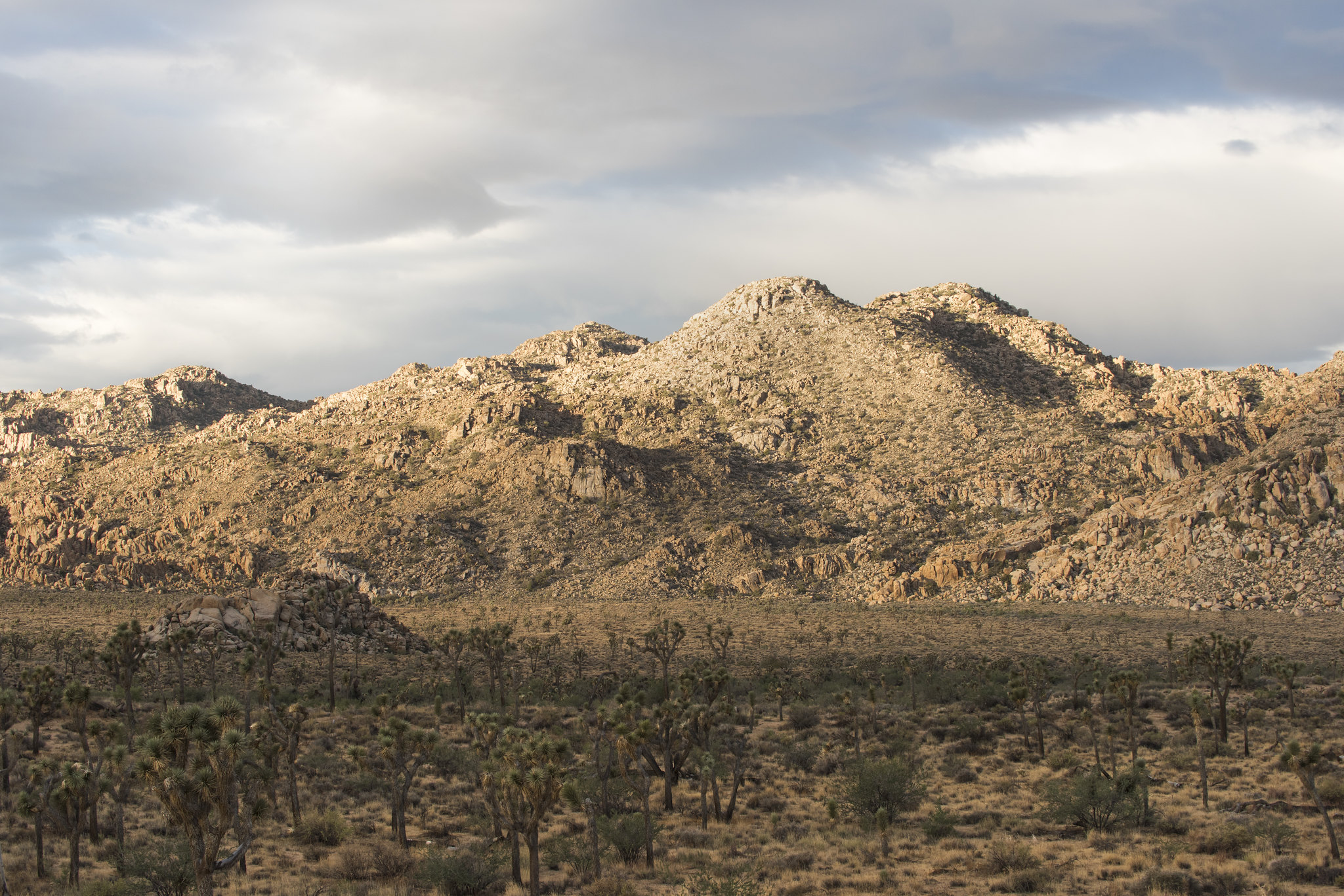
Minerva Hoyt (Minerva Hoyt Trail)
~10 min drive
The Minerva Hoyt Trail is an out-and-back hike to the Hidden Valley picnic area. It is 3 miles roundtrip with 100 feet of elevation gain. From the parking lot, the trail follows an old road before it takes a sharp right towards Hidden Valley. The hike goes through a valley of…

Cap Rock
~10 min drive
<p>Cap Rock is a popular rock formation in the central part of Joshua Tree National Park. Located near the north end of Keys View Road near Park Boulevard, Cap Rock is an easy to reach location. In addition to the unique rock formation, Cap Rock offers a picnic area with grill…
Stubbe Springs Trailhead
~11 min drive
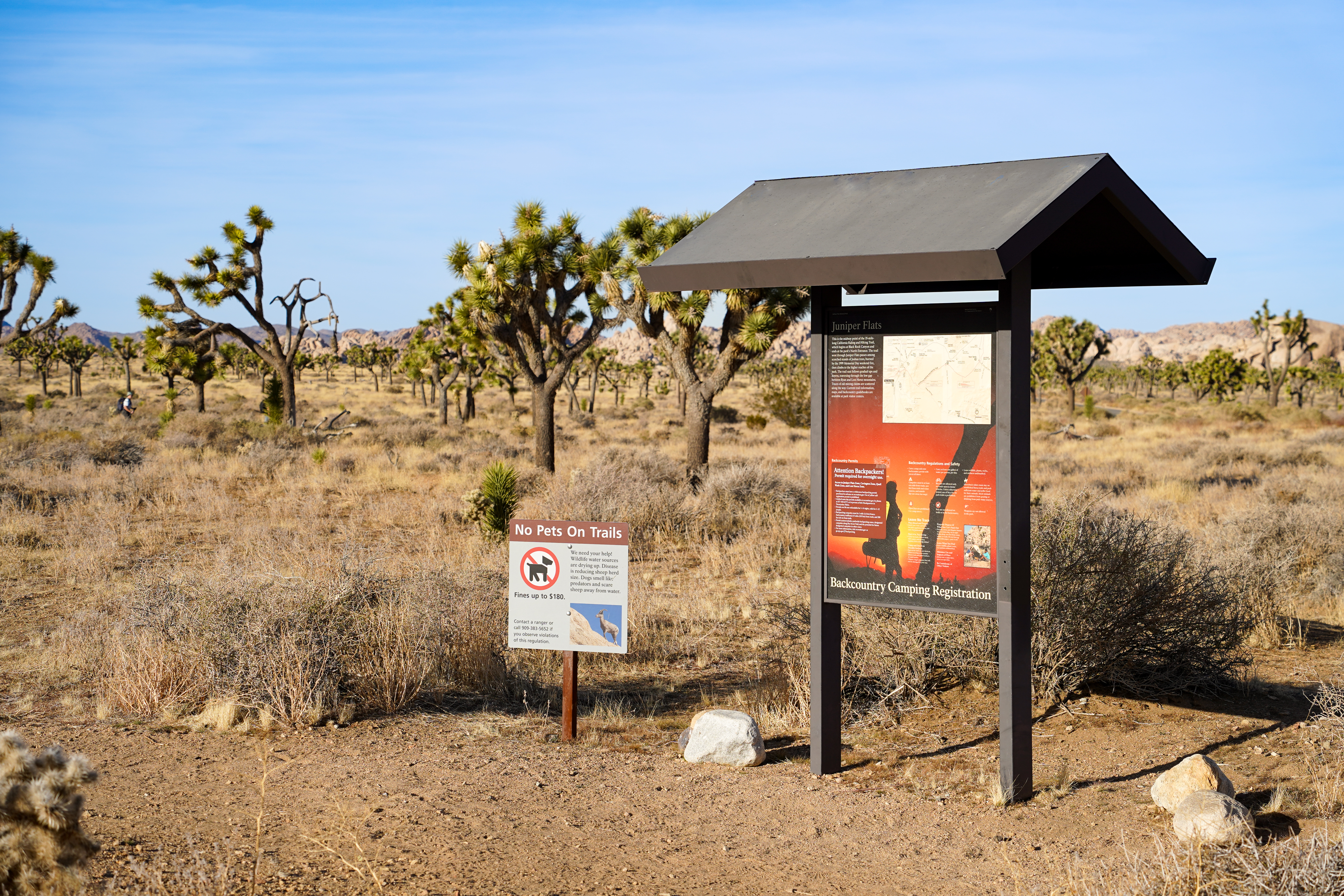
<p paraeid="{2a1d1ef4-ea81-489f-93fa-fc6a192e84b3}{233}" paraid="1238713397">Stubbe Springs is a 12-mile “lollipop” loop hike in the <a href="https://www.nps.gov/jotr/planyourvisit/juniper-flats-zone.htm">Juniper Flats area</a>. This trail is great for hikers looking for a lon…
Also worth it near here