Jumbo Rocks Campground
Campground
Sites open the weekend of Dec 4 on Recreation.gov
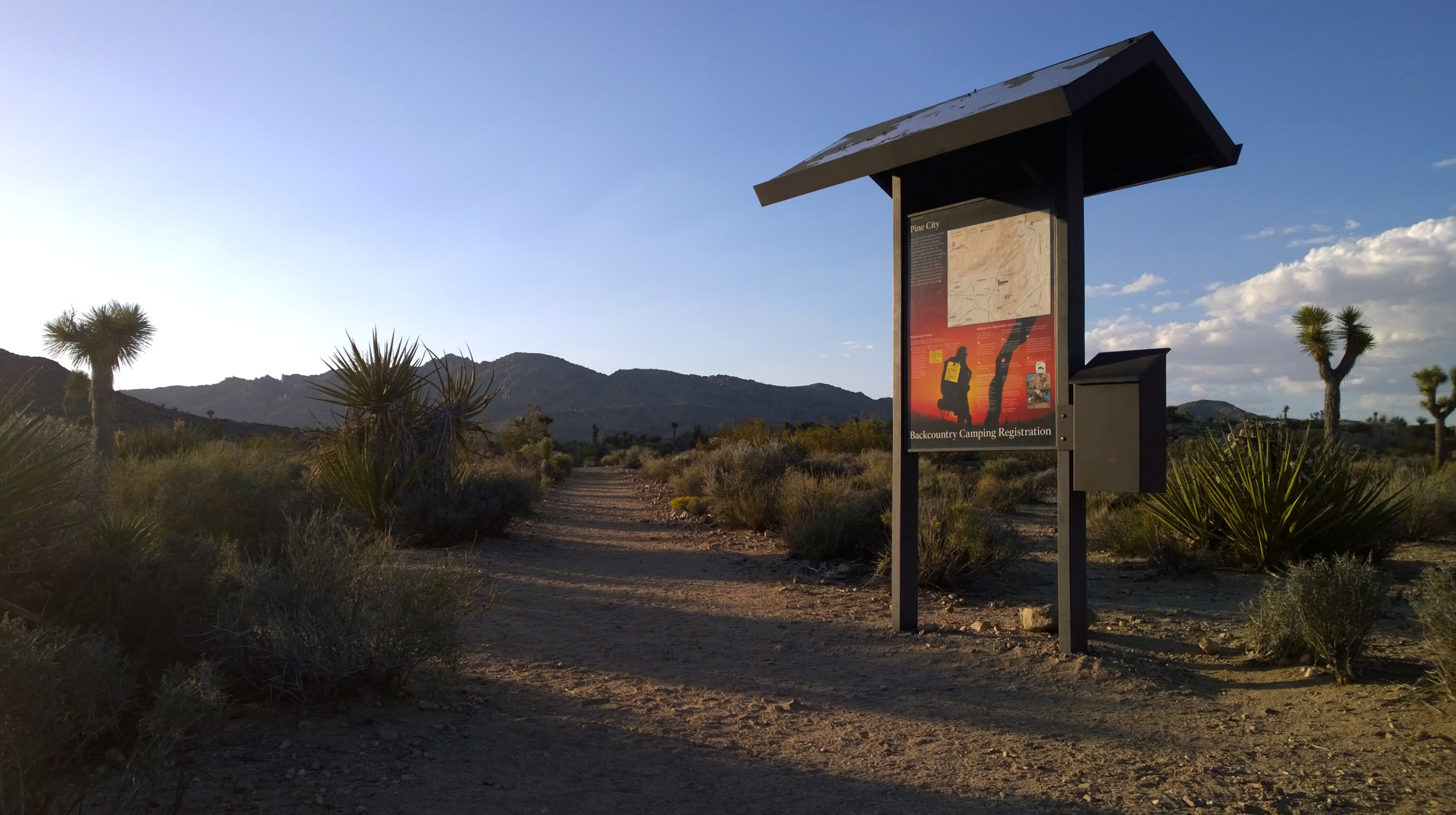 Photo: NPS
Alert in the area
The National Park Service lists 2 alerts for Joshua Tree National Park.
Inaccurate Third-Party Apps
Park alert covering Joshua Tree National Park · NPS · Joshua Tree National Park
Oasis of Mara Trail Partial Closure
Park alert covering Joshua Tree National Park · NPS · Joshua Tree National Park
As of · Source: NPS · Joshua Tree National Park. Agencies don't list every closure — check before you go.
Lucky Boy Loop is a 3.25-mile hike with 555 ft of elevation gain. This loop leads hikers through diverse scenery of desert vegetation, rock formations, vista points, and the remains of Elton Mine. Look out for wildlife including scrub jays fluttering in the Pinyon pines, lizards basking on the rocks, and cottontails hiding in the shrubs. If you’re lucky, you may even spot a desert tortoise making its way across the landscape or eating some of the springtime wildflowers. The last section of the loop is .5 mile along the dirt Desert Queen Mine Road back to the Pine City parking lot. Keep an eye out for passing vehicles. This trail is not recommended in the summer heat, due to it’s length and lack of shade. Make sure to bring adequate food and water supplies and proper sun protection.
Jumbo Rocks Campground
Campground
The Lundy Libation Co.
Bar
 If it rainsJarek Tuszyński, CC BY 3.0 · Wikimedia Commons
Places © OpenStreetMap contributors, Places © Overture Maps Foundation · Photos: Jarek Tuszyński, CC BY 3.0 (commons)
More in Coachella Desert Queen Mine TrailHiking · Next doorPhoto: aparlette, CC BY 2.0 (via Flickr)
 California Riding and Hiking TrailHiking · ~9 min drivePhoto: Tony Webster, CC BY 2.0 (via Flickr)
 Paac Kü̱vü̱hü̱’k TrailHiking · ~11 min drivePhoto: inkknife_2000 (7.5 million views +), CC BY-SA 2.0 (via Wikimedia Commons)
 Split Rock TrailHiking · ~3 min drivePhoto: cappellacci, CC BY 2.0 (via Flickr)
Best months: October–May. Best months have typical highs of 55–85 °F, lows of 30 °F or warmer (32 °F where the station doesn't record snow), at most one snowy day and no more than 12 wet days.
Jan
58° / 38°
4 wet
Feb
61° / 39°
3 wet
Mar
67° / 40°
3 wet
Apr
73° / 46°
2 wet
May
82° / 52°
1 wet
Jun
91° / 59°
0 wet
Jul
96° / 66°
2 wet
Aug
96° / 68°
2 wet
Sep
89° / 60°
2 wet
Oct
80° / 50°
1 wet
Nov
66° / 41°
2 wet
Dec
58° / 34°
4 wet
Typical high / low (°F) and days with rain or snow, 1991–2020. Measured at Yucca Valley, CA, 19.1 mi away at 3,249 ft. The station sits about 1,300 ft lower than this place, so expect it a little cooler here. This station doesn't record snowfall. Source: NOAA NCEI U.S. Climate Normals 1991–2020.


