Sierra Buttes Trail
- 1.8 mi
- round trip
- 1,762 ft
- climb
- 8,434 ft
- high point
- Out and back
- route
Is Sierra Buttes Trail open right now?
Alert in the area
The Forest Service lists an alert for Tahoe National Forest.
Camping and Campfire Restrictions-Truckee and Sierraville Districts
Agency alert covering Tahoe National Forest · Order 17-25-05 · USFS · Tahoe National Forest
As of · Source: USFS · Tahoe National Forest. Agencies don't list every closure — check before you go.
The Sierra Buttes Trail is a 3.5-mile out-and-back hike in California's Tahoe National Forest, within the Yuba River Ranger District. The trail starts at about 6,812 feet and climbs to a high point of 8,434 feet, with a total elevation gain of 1,762 feet. The climb is front-loaded, and the steepest stretch comes at about 0.58 miles in, where the grade reaches 35 percent. The route is rated moderate. The Forest Service manages the land, and the trip takes about two hours. The trail is a short drive from several other destinations. The North Yuba River, a canoeing route, lies about 0.7 miles away, and the Sierra Buttes Lookout Trail is about 1.2 miles off. Loganville Campground is about 1.6 miles away, and the Free For All Valley climbing area is about 1.9 miles away.
Local outfitters
- Alpenglow Expeditions35 mi away
Not on Roamze yet. Their page has how to reach them.
Conditions and forecast on Sierra Buttes
Daily highs and lows, wind and the chance of precipitation at the summit and route start for the next 7 days, from the Open-Meteo model.
- North Yuba RiverCanoeing0.7 mi
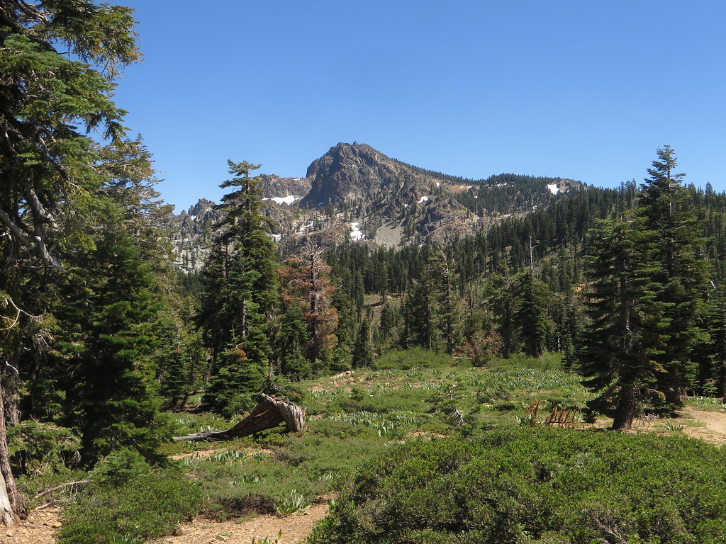 Sierra Buttes Lookout TrailHikingPhoto: Ken Lund, CC BY-SA 2.0 (via Flickr)1.2 mi
 Tamarack ConnectionHikingPhoto: Ken Lund, CC BY-SA 2.0 (via Flickr)1.5 mi
- Loganville CgCamping1.6 mi
- Free For All ValleyRock climbing1.9 mi
- Warm Up BoulderRock climbing2.1 mi
- PacksaddleCamping2.5 mi
- Salmon CreekCanoeing3.4 mi
Source: Roamze catalog (indexable pages within 10 miles, PostGIS distance)
- Sierra Buttes Lookout TrailHiking · ~2 min drivePhoto: Ken Lund, CC BY-SA 2.0 (via Flickr)
- Tamarack ConnectionHiking · ~3 min drivePhoto: Ken Lund, CC BY-SA 2.0 (via Flickr)
- Sierra ButtesHiking · ~3 min drivePhoto: Ken Lund — CC BY-SA 2.0 (via Flickr)
 Pacific Crest TrailHiking · ~5 min drivePhoto: Ken Lund, CC BY-SA 2.0 (via Flickr)
- Pack Saddle Loop TrailHiking · ~3 min drivePhoto: Ken Lund, CC BY-SA 2.0 (via Flickr)
 GOLD VALLEY RIM MC TRAILHiking · ~4 min drivePhoto: Ken Lund, CC BY-SA 2.0 (via Flickr)
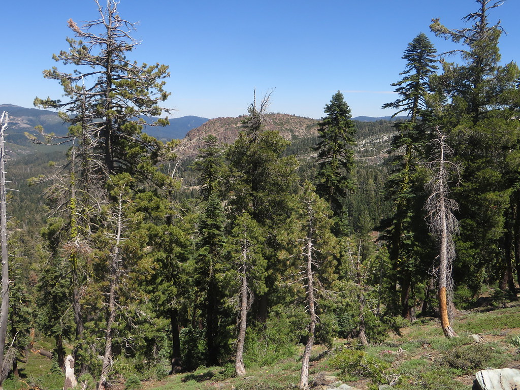 Sunrise TrailHiking · ~3 min drivePhoto: Ken Lund, CC BY-SA 2.0 (via Flickr)
- Pacific Crest TrailHiking · ~7 min drive
- Gold Valley Rim Trail ConnectorHiking · ~3 min drivePhoto: Ken Lund, CC BY-SA 2.0 (via Flickr)
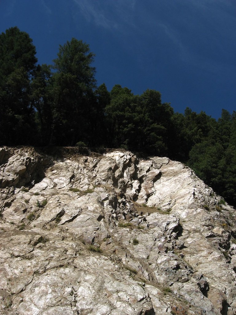 Cleveland Mine TrailHiking · ~5 min drivePhoto: Ken Lund, CC BY-SA 2.0 (via Flickr)

Route details
- Distance
- 1.8 mi round trip
- Climbing
- About 1,762 ft
- Summit
- 8,584 ft
- Difficulty
- Moderate
- Time
- About 1.5 hours
Questions about this route
How long is the Sierra Buttes Trail on Sierra Buttes?
About 1.8 mi round trip.
How much elevation gain is on the Sierra Buttes Trail?
About 1,762 ft of climbing round trip.
How hard is the Sierra Buttes Trail?
It is rated moderate.
How long does the Sierra Buttes Trail take?
About 1.5 hours round trip.
Map and trail data © OpenStreetMap contributors
