Blue Heron Trail
 Photo: Dr vulpes, CC BY-SA 4.0 (via Wikimedia Commons)
- 0.3 mi
- round trip
- 227 ft
- climb
- 1,265 ft
- high point
- Out and back
- route
- Oct–May
- best months
Blue Heron Trail is a short, easy hike in California, about 0.3 miles from Yosemite Lakes Park. The trail is an out-and-back, roughly 0.6 miles long, with a total climb of about 227 feet and a steepest grade of about 7% near the start. The route rolls between a low point of about 1,202 feet and a high of about 1,265 feet. Spring and fall are the most comfortable times to go. Typical averages from a nearby weather station at Friant Government Camp show April highs around 73°F and October highs around 80°F, while July and August average near 99°F. That station sits about 850 feet lower than the trail, so temperatures on the trail run cooler. Nearby options include Cow Path, about 4 miles away, and Douglas Trail, about 6 miles away. Paddlers can head to the Fresno River, about 6 miles off, and Buck Ridge campground is about 7 miles away.
 Cow PathHikingPhoto: InSapphoWeTrust from Los Angeles, California, USA, CC BY-SA 2.0 (via Wikimedia Commons)4.1 mi
- Douglas TrailHiking6.1 mi
 Fresno RiverCanoeingPhoto: California High-Speed Rail Authority, Public domain (via Wikimedia Commons)6.4 mi
- Buck RidgeCamping7.2 mi
- Fine Gold CreekCanoeing8 mi
- Shaw-Shuck nature TrailHiking8.2 mi
Source: Roamze catalog (indexable pages within 10 miles, PostGIS distance)
- Blue Heron TrailHiking · Next doorPhoto: Dr vulpes, CC BY-SA 4.0 (via Wikimedia Commons)
 Pa'san Ridge TrailHiking · ~23 min drivePhoto: niiicedave, CC BY-SA 2.0 (via Flickr)
 Blue Oak TrailHiking · ~23 min drivePhoto: niiicedave, CC BY-SA 2.0 (via Flickr)
- San Joaquin River TrailHiking · ~24 min drive
- Cow PathHiking · ~7 min drivePhoto: InSapphoWeTrust from Los Angeles, California, USA, CC BY-SA 2.0 (via Wikimedia Commons)
- Horseshoe BendHiking · ~27 min drive
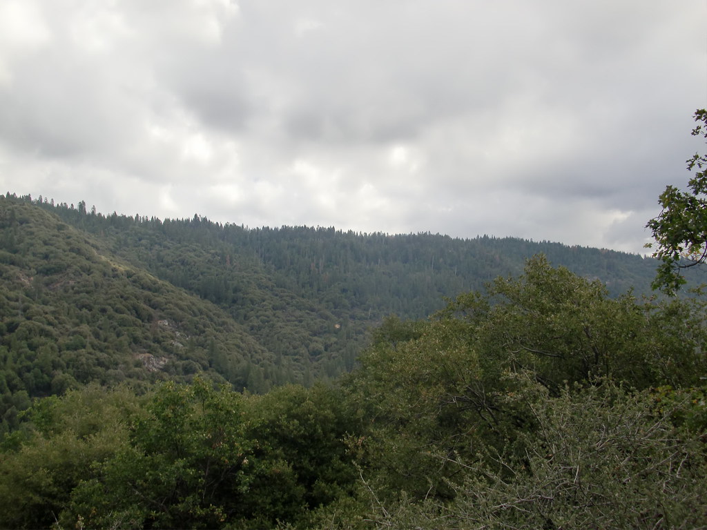 Downslope TrailHiking · ~29 min drivePhoto: Bluedevil266, CC BY 2.0 (via Flickr)
 Pincushion Peak TrailHiking · ~21 min drivePhoto: niiicedave, CC BY-SA 2.0 (via Flickr)
 Brown CreekHiking · ~29 min drivePhoto: JHetherington20, CC BY-SA 3.0 (via Wikimedia Commons)
 Pincushion Peak TrailHiking · ~22 min drivePhoto: niiicedave, CC BY-SA 2.0 (via Flickr)
Best time to visit Blue Heron Trail
Best months: October–May. Best months have typical highs of 55–85 °F, lows of 30 °F or warmer (32 °F where the station doesn't record snow), at most one snowy day and no more than 12 wet days.
Jan
56° / 38°
10 wet
Feb
61° / 40°
9 wet
Mar
66° / 42°
8 wet
Apr
73° / 44°
5 wet
May
83° / 50°
3 wet
Jun
92° / 56°
1 wet
Jul
99° / 62°
0 wet
Aug
98° / 60°
0 wet
Sep
92° / 57°
1 wet
Oct
80° / 50°
3 wet
Nov
66° / 42°
6 wet
Dec
56° / 37°
9 wet
Typical high / low (°F) and days with rain or snow, 1991–2020. Measured at Friant Government Camp, CA, 13.5 mi away at 410 ft. The station sits about 900 ft lower than this place, so expect it a little cooler here. Source: NOAA NCEI U.S. Climate Normals 1991–2020.
Map and trail data © OpenStreetMap contributors
