Sage Flat Campground
Campground
Campground · 2.9 mi from the trail
Alert in the area
The Forest Service lists 3 alerts for Inyo National Forest.
Help Halt Golden Mussel Invasion
Agency alert covering Inyo National Forest · USFS · Inyo National Forest
Ansel Adams and John Muir Wilderness Campfire Restrictions
Agency alert covering Inyo National Forest · Order 05-04-50-25-04 · USFS · Inyo National Forest
Golden Trout and Hoover Wilderness Campfire Restrictions
Agency alert covering Inyo National Forest · Order 05-04-50-25-05 · USFS · Inyo National Forest
As of · Source: USFS · Inyo National Forest. Agencies don't list every closure — check before you go.
Shannon Canyon Stock Trail is a short, easy hike in California's Inyo National Forest, within the White Mountain Ranger District. The Forest Service manages the land, and the trail starts at about 8,158 feet, with a round trip of roughly 0.9 miles and a total climb and descent of about 324 feet. The route is an out-and-back with a rolling profile, and the steepest part comes early, around 0.2 miles from the start, with a grade of about 11 percent. Summer is the most comfortable time to go. Typical averages from a nearby weather station show July highs around 78°F with lows near 49°F, while winter highs hover around 41°F with lows in the teens. The Coyote Flats to Piper Peak Trail lies about a mile away, and the Shannon Canyon Stock trail is about 2 miles off. Sage Flat Campground and Upper Sage Flat Campground are both within about 3 miles.
Sage Flat Campground
Campground
Keough Hot Ditch
Hot spring
Places © OpenStreetMap contributors
More in BishopNot on Roamze yet. Their page has how to reach them.
 Big Pine CreekCanoeingPhoto: Justin.Johnsen (talk · contribs) (Justin at Flickr), CC BY 2.0 (via Wikimedia Commons)3.5 mi
 Owens RiverCanoeingPhoto: Eeekster at English Wikipedia, CC BY 3.0 (via Wikimedia Commons)6.7 mi
Source: Roamze catalog (indexable pages within 10 miles, PostGIS distance)
 Baker Summit TrailHiking · ~6 min drivePhoto: Moo.The.Cow, CC BY 2.0 (via Flickr)
 Logging Flat TrailHiking · ~6 min drivePhoto: Justin.Johnsen (talk · contribs) (Justin at Flickr), CC BY 2.0 (via Wikimedia Commons)
 North Fork Big Pine Creek TrailHiking · ~7 min drivePhoto: Moo.The.Cow, CC BY 2.0 (via Flickr)
 WaterfallHiking · ~7 min drivePhoto: mjhbower, CC BY-SA 2.0 (via Flickr)
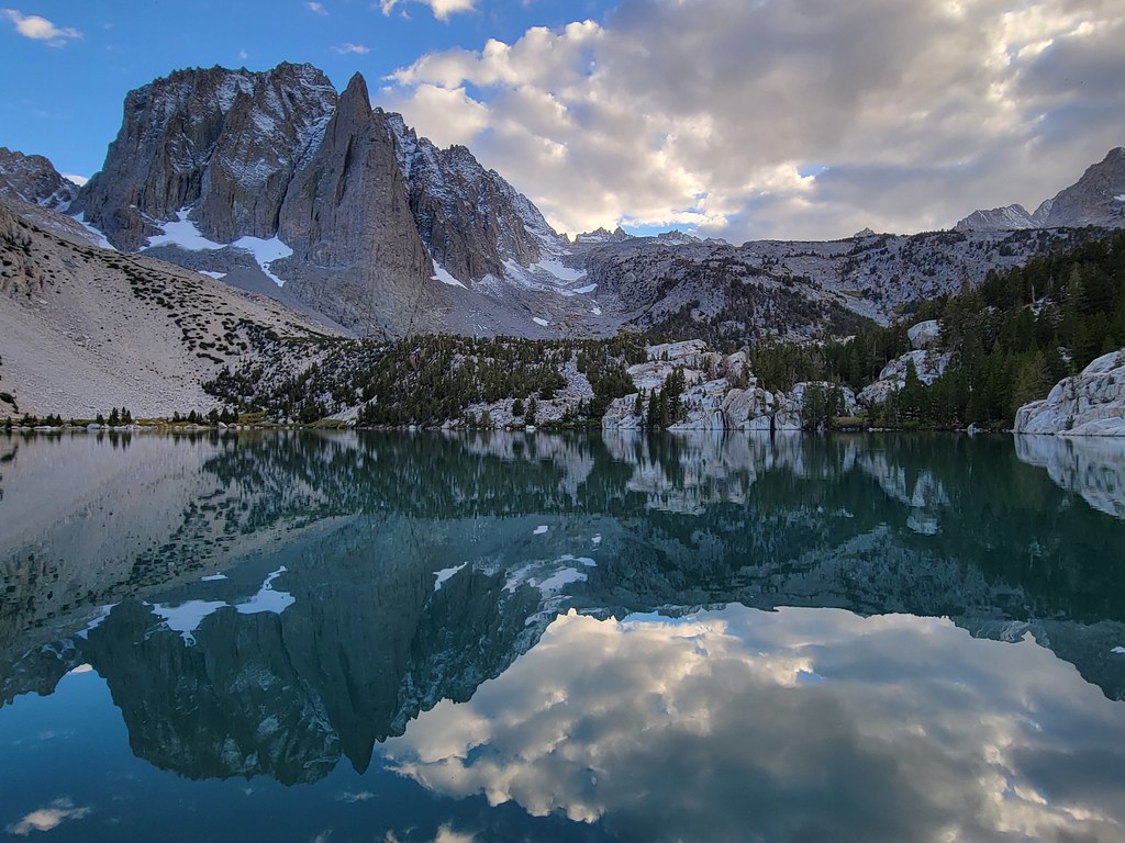 Palisade Glacier TrailHiking · ~11 min drivePhoto: Moo.The.Cow, CC BY 2.0 (via Flickr)SOUTH FORK BIG PINE CREEKHiking · ~7 min drivePhoto: Justin.Johnsen (talk · contribs) (Justin at Flickr), CC BY 2.0 (via Wikimedia Commons)South Fork Big Pine Creek TrailHiking · ~7 min drivePhoto: Justin.Johnsen (talk · contribs) (Justin at Flickr), CC BY 2.0 (via Wikimedia Commons)
 Glacier Lodge to 1St Falls AccHiking · ~7 min drivePhoto: Tom Hilton, CC BY 2.0 (via Flickr)
 Green Lake TrailHiking · ~15 min drivePhoto: RuggyBearLA, CC BY 2.0 (via Flickr)
 Black Lake LoopHiking · ~10 min drivePhoto: Moo.The.Cow, CC BY 2.0 (via Flickr)
Also worth it near here
Big Pine CreekCanoeing · ~6 min drivePhoto: Justin.Johnsen (talk · contribs) (Justin at Flickr), CC BY 2.0 (via Wikimedia Commons)Best months: May–September. Best months have typical highs of 55–85 °F, lows of 30 °F or warmer (32 °F where the station doesn't record snow), at most one snowy day and no more than 12 wet days.
Jan
41° / 17°
Feb
41° / 18°
Mar
45° / 22°
Apr
51° / 27°
May
60° / 35°
Jun
70° / 42°
Jul
78° / 49°
Aug
77° / 47°
Sep
71° / 40°
Oct
61° / 30°
Nov
49° / 23°
Dec
41° / 17°
Typical high / low (°F) and days with rain or snow, 1991–2020. Measured at Mammoth Lakes Rs, CA, 45.4 mi away at 7,804 ft. This station doesn't record snowfall. Source: NOAA NCEI U.S. Climate Normals 1991–2020.
Map and trail data © OpenStreetMap contributors
