Sage Flat Campground
Campground
Campground · 3.2 mi from the trail
Alert in the area
The Forest Service lists 3 alerts for Inyo National Forest.
Help Halt Golden Mussel Invasion
Agency alert covering Inyo National Forest · USFS · Inyo National Forest
Ansel Adams and John Muir Wilderness Campfire Restrictions
Agency alert covering Inyo National Forest · Order 05-04-50-25-04 · USFS · Inyo National Forest
Golden Trout and Hoover Wilderness Campfire Restrictions
Agency alert covering Inyo National Forest · Order 05-04-50-25-05 · USFS · Inyo National Forest
As of · Source: USFS · Inyo National Forest. Agencies don't list every closure — check before you go.
Coyote Flats to Piper Peak Trail is a 9.7-mile out-and-back hike in California's Inyo National Forest, within the White Mountain Ranger District. The route starts at about 7,240 feet and climbs to a high point of 10,317 feet, with a total elevation gain of 4,607 feet over the round trip. The climb is front-loaded, with the steepest stretch at about 0.6 miles from the start, where the grade reaches 28 percent. The Forest Service manages the land. The trip takes about nine hours. Plan for a long day with a significant climb, and expect the most comfortable conditions in late summer and early fall. A nearby weather station records typical averages of about 70°F in September, with July and August in the low 80s. Shannon Canyon Stock Trail lies about a mile away, and Sage Flat Campground is about 3.2 miles off. Big Pine Creek, a canoeing spot, is about 2.6 miles away, and Mount Sill, a mountaineering destination, is about 4.4 miles away.
Sage Flat Campground
Campground
Keough Hot Ditch
Hot spring
Places © OpenStreetMap contributors
More in BishopNot on Roamze yet. Their page has how to reach them.
 Big Pine CreekCanoeingPhoto: Justin.Johnsen (talk · contribs) (Justin at Flickr), CC BY 2.0 (via Wikimedia Commons)2.6 mi
 Owens RiverCanoeingPhoto: Eeekster at English Wikipedia, CC BY 3.0 (via Wikimedia Commons)6.1 mi
Source: Roamze catalog (indexable pages within 10 miles, PostGIS distance)
 Logging Flat TrailHiking · ~7 min drivePhoto: Justin.Johnsen (talk · contribs) (Justin at Flickr), CC BY 2.0 (via Wikimedia Commons)
 Baker Summit TrailHiking · ~7 min drivePhoto: Moo.The.Cow, CC BY 2.0 (via Flickr)
 North Fork Big Pine Creek TrailHiking · ~8 min drivePhoto: Moo.The.Cow, CC BY 2.0 (via Flickr)
 Glacier Lodge to 1St Falls AccHiking · ~8 min drivePhoto: Tom Hilton, CC BY 2.0 (via Flickr)SOUTH FORK BIG PINE CREEKHiking · ~8 min drivePhoto: Justin.Johnsen (talk · contribs) (Justin at Flickr), CC BY 2.0 (via Wikimedia Commons)
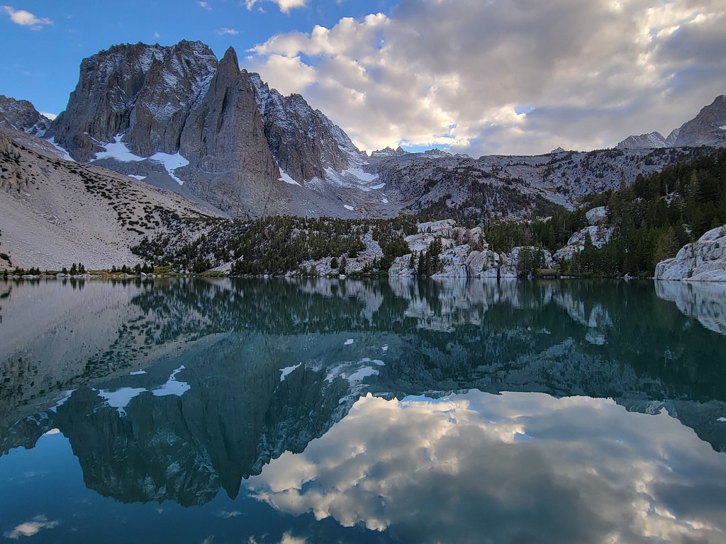 Palisade Glacier TrailHiking · ~13 min drivePhoto: Moo.The.Cow, CC BY 2.0 (via Flickr)South Fork Big Pine Creek TrailHiking · ~8 min drivePhoto: Justin.Johnsen (talk · contribs) (Justin at Flickr), CC BY 2.0 (via Wikimedia Commons)
 WaterfallHiking · ~8 min drivePhoto: mjhbower, CC BY-SA 2.0 (via Flickr)
 Black Lake LoopHiking · ~11 min drivePhoto: Moo.The.Cow, CC BY 2.0 (via Flickr)
 Green Lake TrailHiking · ~17 min drivePhoto: RuggyBearLA, CC BY 2.0 (via Flickr)
Map and trail data © OpenStreetMap contributors
