Curry Village
Campground
Campground · 1.2 mi from the trail
 Photo: Moo.The.Cow, CC BY 2.0 (via Flickr)
Closure in the area
There's a closure order in Yosemite National Park. It doesn't name Sentinel Dome Trail, so check the source for the area it covers (3 listed).
Big Oak Flat Road will close Nov 18 at 8 am
Park closure covering Yosemite National Park · NPS · Yosemite National Park
Campgrounds and Curry Village tent cabins are closed due to a winter storm
Park closure covering Yosemite National Park · NPS · Yosemite National Park
Tioga and Glacier Point Roads are closed due snow
Park closure covering Yosemite National Park · NPS · Yosemite National Park
As of · Source: NPS · Yosemite National Park. Agencies don't list every closure — check before you go.
Sentinel Dome Trail is an easy out-and-back hike of about 0.8 miles in Yosemite National Park's Yosemite Wilderness, on land managed by the National Park Service. The trail rises from about 7,741 feet to about 8,121 feet, a climb of roughly 320 feet one way. Summer is the most comfortable time to go. Typical averages from a nearby weather station at Tuolumne Meadows, about 17 miles away and roughly 570 feet higher, put July highs around 71°F with lows near 38°F. Winter is much colder, with January highs around 41°F and lows near 13°F. Glacier Point Road and the Panorama Trail both lie about 0.6 miles away, and the Sentinel Creek Area is about a mile off. Lower Pines Campground is about 1.5 miles away for an overnight stay.
Curry Village
Campground
 If it rainsSupercarwaar, CC BY-SA 4.0 · Wikimedia Commons
Sentinel Dome
Viewpoint
Granite dome in Yosemite National Park, California, US
Places © OpenStreetMap contributors, Places © Overture Maps Foundation · Photos: Supercarwaar, CC BY-SA 4.0 (commons)
More in Yosemite ValleyNot on Roamze yet. Their page has how to reach them.
Daily highs and lows, wind and the chance of precipitation at the summit and route start for the next 7 days, from the Open-Meteo model.
 Panorama TrailHikingPhoto: Sebastien Lovcoffee, CC BY-SA 3.0 (via Wikimedia Commons)0.6 mi
 Sentinel Creek AreaRock climbingPhoto: Dan Harrelson, CC BY 2.0 (via Flickr)1 mi
 Sentinel BouldersRock climbingPhoto: msprague, CC BY-SA 2.0 (via Flickr)1 mi
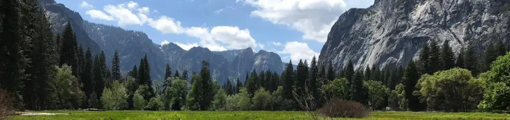 Lower Pines CampgroundCampingPhoto: Recreation.gov (RIDB) / public domain1.5 mi
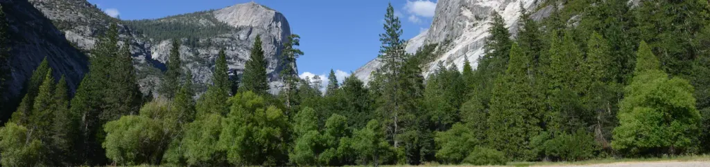 North Pines CampgroundCampingPhoto: Recreation.gov (RIDB) / public domain1.6 mi
 Merced RiverCanoeingPhoto: Kylir Horton from Eagle Mountain, Utah, United States, CC BY 2.0 (via Wikimedia Commons)4.2 mi
Source: Roamze catalog (indexable pages within 10 miles, PostGIS distance)
Panorama TrailHiking · ~1 min drivePhoto: Sebastien Lovcoffee, CC BY-SA 3.0 (via Wikimedia Commons) John Muir TrailHiking · ~5 min drivePhoto: Richard Wood, CC BY-SA 3.0 (via Wikimedia Commons)
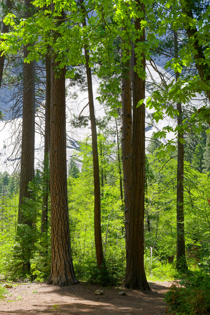 Bike PathHiking · ~2 min drivePhoto: mlcastle, CC BY-SA 2.0 (via Flickr)
 Stock TrailHiking · ~2 min drivePhoto: mlcastle, CC BY-SA 2.0 (via Flickr)
 Merced Pass TrailHiking · ~8 min drivePhoto: Justin.Johnsen, CC BY-SA 3.0 (via Wikimedia Commons)
 North Dome TrailHiking · ~5 min drivePhoto: Jason Hollinger, CC BY 2.0 (via Wikimedia Commons)
 Panorama TrailHiking · ~3 min drivePhoto: Richard Wood, CC BY-SA 3.0 (via Wikimedia Commons)
Also worth it near here
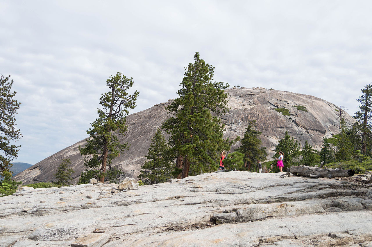 Sentinel DomeSummit · Next doorPhoto: Supercarwaar, CC BY-SA 4.0 (via Wikimedia Commons)Sentinel Creek AreaRock climbing · ~2 min drivePhoto: Dan Harrelson, CC BY 2.0 (via Flickr)
 Staircase FallsWaterfall · ~2 min drivePhoto: Ambitious Wench, CC BY-SA 2.0 (via Wikimedia Commons)
Best months: June–September. Best months have typical highs of 55–85 °F, lows of 30 °F or warmer (32 °F where the station doesn't record snow), at most one snowy day and no more than 12 wet days.
Jan
41° / 13°
Feb
38° / 12°
Mar
42° / 15°
Apr
45° / 22°
May
54° / 27°
Jun
65° / 33°
Jul
71° / 38°
Aug
70° / 36°
Sep
65° / 32°
Oct
57° / 26°
Nov
47° / 20°
Dec
40° / 12°
Typical high / low (°F) and days with rain or snow, 1991–2020. Measured at Tuolumne Meadows Rs, CA, 16.9 mi away at 8,694 ft. The station sits about 600 ft higher than this place, so expect it a little warmer here. This station doesn't record snowfall. Source: NOAA NCEI U.S. Climate Normals 1991–2020.
About 0.4 mi round trip.
About 319 ft of climbing round trip.
It is rated easy.
