Santa Maria Valley Multipurpose Trail
- 1.4 mi
- round trip
- 111 ft
- climb
- 332 ft
- high point
- Out and back
- route
- Jan–Dec
- best months
The Santa Maria Valley Multipurpose Trail is an easy out-and-back hike in California, about 2.4 miles from Orcutt. It runs roughly 2.8 miles in length, with a gentle rise of about 86 feet from the starting point at 252 feet to a high of 332 feet before returning. The trail is mostly flat, with the steepest stretch at about 1.3 miles in, where the grade reaches about 3%. As an out-and-back, the total elevation gain and loss each add up to about 111 feet. The route takes about an hour to complete, so it works well as a short walk close to town. Late summer and early fall are the warmest and driest stretch, with typical highs around 75°F in September and October and almost no wet days from July through September. Those figures come from a nearby weather station in Santa Maria, at a similar elevation to the trail. Nearby options include the Santa Maria River Levee Trail and the Rim Trail, both about 7 miles away, as well as the Santa Maria River for paddling. The Valley View Trail sits about 7.2 miles out.
- Santa Maria River Levee TrailHiking6 mi
- Rim TrailHiking6.9 mi
- Cut-Off TrailHiking7 mi
 Santa Maria RiverCanoeingPhoto: NHRHS2010, CC BY-SA 3.0 (via Wikimedia Commons)7.1 mi
- Valley View TrailHiking7.2 mi
- Fire Break TrailHiking7.2 mi
- Manzanita TrailHiking7.3 mi
- Lower TrailHiking7.3 mi
Source: Roamze catalog (indexable pages within 10 miles, PostGIS distance)
 Picacho Summit TrailHiking · ~26 min drivePhoto: gamillos, CC BY-SA 2.0 (via Flickr)
 Buckhorn RigdeHiking · ~27 min drivePhoto: Region 5 Photography, Public Domain Mark (via Flickr)
- Bear Canyon Conn.Hiking · ~27 min drive
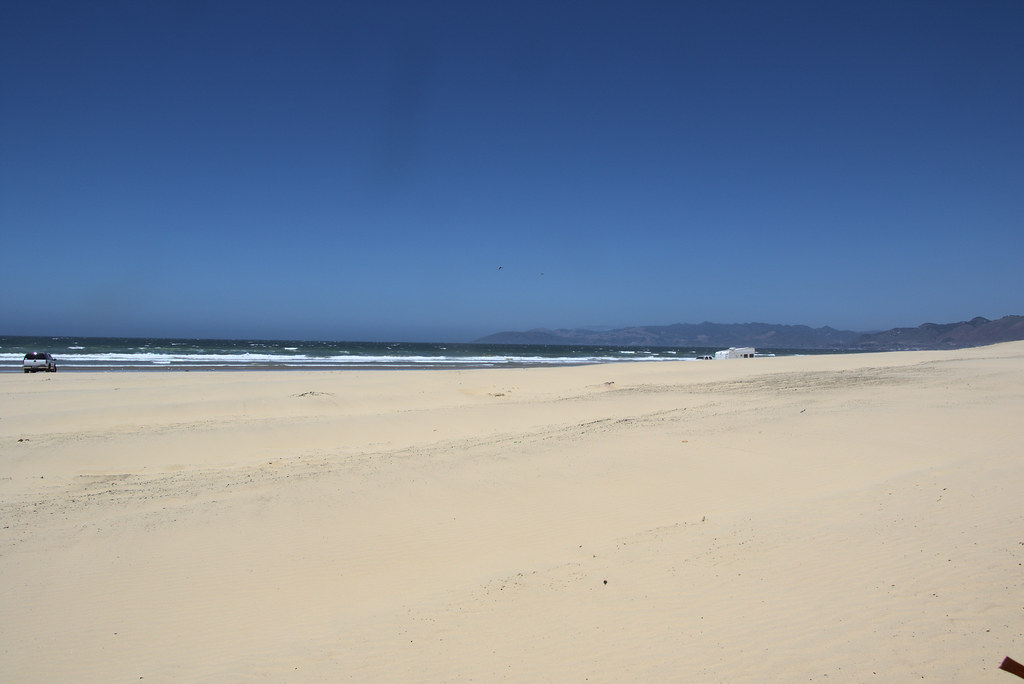 Lagoon TrailHiking · ~30 min drivePhoto: Ktr101, CC BY-SA 2.0 (via Flickr)
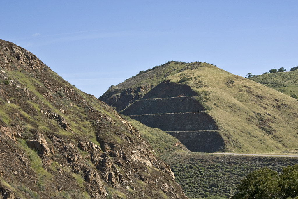 Willow SpringHiking · ~34 min drivePhoto: Damian Gadal, CC BY 2.0 (via Flickr)
- Upper James Way TrailHiking · ~31 min drive
- Santa Maria River Levee TrailHiking · ~10 min drive
- Bear CanyonHiking · ~30 min drive
- Turkey Ridge TrailHiking · ~34 min drive
- Santa Maria River Levee TrailHiking · ~11 min drive
Best time to visit Santa Maria Valley Multipurpose Trail
Best months: Year-round. Best months have typical highs of 55–85 °F, lows of 30 °F or warmer (32 °F where the station doesn't record snow), at most one snowy day and no more than 12 wet days.
Jan
65° / 41°
8 wet
Feb
65° / 43°
8 wet
Mar
66° / 44°
8 wet
Apr
68° / 45°
5 wet
May
69° / 49°
2 wet
Jun
71° / 52°
1 wet
Jul
73° / 55°
0 wet
Aug
74° / 55°
0 wet
Sep
75° / 54°
1 wet
Oct
75° / 50°
3 wet
Nov
70° / 44°
5 wet
Dec
64° / 40°
7 wet
Typical high / low (°F) and days with rain or snow, 1991–2020. Measured at Santa Maria Public Ap, CA, 0.2 mi away at 242 ft. This station doesn't record snowfall. Source: NOAA NCEI U.S. Climate Normals 1991–2020.
Map and trail data © OpenStreetMap contributors
