Lower Trail
- 0.6 mi
- round trip
- 324 ft
- climb
- 917 ft
- high point
- Out and back
- route
- Jan–Dec
- best months
Lower Trail is an easy out-and-back hike of about 1.2 miles in Los Flores Ranch Park, on city-managed land in California. The route rises roughly 160 feet from its starting point at about 880 feet to a high point of 917 feet, with a total gain of about 324 feet for the round trip. The climb is steady, and the steepest stretch comes early, at about 10% grade, before the trail eases into a gentler ascent and descent. The most comfortable months for a visit tend to be late spring through early fall, when typical averages from a nearby weather station at Twitchell Dam show highs in the low to mid 70s and lows in the 40s, with only one or two wet days a month. That station sits several hundred feet lower than the trail, so temperatures on the trail run a bit cooler. The hike takes about half an hour. The trailhead is within a mile of several other short walks, including Manzanita Trail, Watershed Trail and Valley View Trail, which all lie within about a quarter mile.
- Manzanita TrailHiking0.1 mi
- Watershed TrailHiking0.2 mi
- Valley View TrailHiking0.2 mi
- Dinosaur LoopHiking0.3 mi
- Fire Break TrailHiking0.4 mi
- Acorn TrailHiking0.4 mi
- Rim TrailHiking0.8 mi
- Cut-Off TrailHiking0.9 mi
Source: Roamze catalog (indexable pages within 10 miles, PostGIS distance)
 Buckhorn RigdeHiking · ~20 min drivePhoto: Region 5 Photography, Public Domain Mark (via Flickr)
 walk pathHiking · ~27 min drivePhoto: Damian Gadal, CC BY 2.0 (via Flickr)
 High Country TrailHiking · ~29 min drivePhoto: Damian Gadal, CC BY 2.0 (via Flickr)
- Sisquoc TrailHiking · ~33 min drive
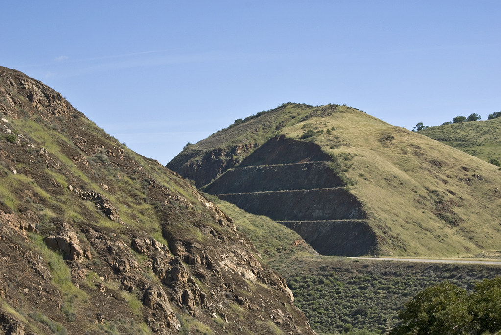 Willow SpringHiking · ~31 min drivePhoto: Damian Gadal, CC BY 2.0 (via Flickr)
- Senior Cabin CutoffHiking · ~29 min drivePhoto: Damian Gadal, CC BY 2.0 (via Flickr)
- Maple Canyon TrailHiking · ~30 min drivePhoto: Damian Gadal, CC BY 2.0 (via Flickr)
- Kerry Canyon TrailHiking · ~28 min drive
- Watershed TrailHiking · Next door
- Coulter Pine RidgeHiking · ~28 min drive
Best time to visit Lower Trail
Best months: Year-round. Best months have typical highs of 55–85 °F, lows of 30 °F or warmer (32 °F where the station doesn't record snow), at most one snowy day and no more than 12 wet days.
Jan
63° / 41°
8 wet
Feb
62° / 42°
8 wet
Mar
65° / 44°
8 wet
Apr
68° / 45°
5 wet
May
70° / 48°
2 wet
Jun
75° / 50°
1 wet
Jul
77° / 53°
0 wet
Aug
78° / 54°
1 wet
Sep
78° / 52°
1 wet
Oct
75° / 49°
3 wet
Nov
68° / 44°
5 wet
Dec
61° / 39°
8 wet
Typical high / low (°F) and days with rain or snow, 1991–2020. Measured at Twitchell Dam, CA, 10.2 mi away at 582 ft. Source: NOAA NCEI U.S. Climate Normals 1991–2020.

Map and trail data © OpenStreetMap contributors
