San Diego River Trail
- 1.6 mi
- round trip
- 295 ft
- climb
- 379 ft
- high point
- Out and back
- route
- Oct–Jun
- best months
Clear today
Weather is good · OpenWeather · checked just now
The San Diego River Trail is an easy out-and-back hike in California, about 0.8 miles from the community of Lakeside Farms. The route is roughly 3.2 miles long, with a total elevation gain of about 295 feet, and it reaches a high point of about 379 feet. The trail is rated easy, and the climb is gentle, with the steepest stretch at about 0.6 miles in, where the grade reaches about 3 percent. Spring and fall are the most comfortable times to go. Typical averages from a nearby weather station in El Cajon show April highs around 75°F and October highs around 81°F, while August averages about 89°F. The trip takes about an hour. The trail is close to several other outdoor spots. Magnolia Boulders, a climbing area, is about 1.4 miles away, and the Lakeside Linkage Preserve Trail is about 2.1 miles off. Paddlers can reach the San Diego River, about 4.4 miles away, and King Roland's Trail is about 2.8 miles away.
Local outfitters
- Hike Bike Kayak Adventure Tours18 mi away
- Borrego Outfitters43 mi away
Not on Roamze yet. Their page has how to reach them.
- Magnolia BouldersRock climbing1.4 mi
- South slopeRock climbing1.5 mi
- Top of the hillRock climbing1.5 mi
 Lakeside Linkage Preserve TrailHikingPhoto: Robert DuHamel, CC BY-SA 3.0 (via Wikimedia Commons)2.1 mi
- King Roland's TrailHiking2.8 mi
- Stowe TrailHiking3.7 mi
- Valley View Truck TrailHikingPhoto: Robert DuHamel, CC BY-SA 3.0 (via Wikimedia Commons)4 mi
- San Diego RiverCanoeing4.4 mi
Source: Roamze catalog (indexable pages within 10 miles, PostGIS distance)
- Lakeside Linkage Preserve TrailHiking · ~4 min drivePhoto: Robert DuHamel, CC BY-SA 3.0 (via Wikimedia Commons)
- Valley View Truck TrailHiking · ~7 min drivePhoto: Robert DuHamel, CC BY-SA 3.0 (via Wikimedia Commons)
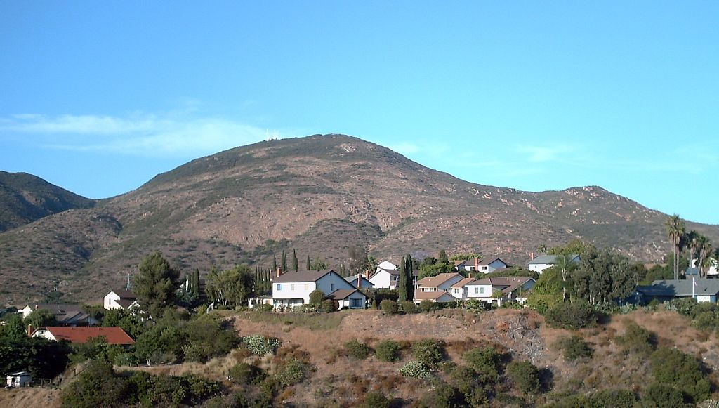
 San Diego River TrailHiking · ~6 min drivePhoto: Allan Ferguson, CC BY 2.0 (via Flickr)
 Mesa TrailHiking · ~8 min drivePhoto: Richard Leneau, CC BY-SA 3.0 (via Wikimedia Commons)
 Clark CanyonHiking · ~7 min drivePhoto: Scott Cameron, CC BY 3.0 (via Wikimedia Commons)
 Barker Way TrailHiking · ~9 min drivePhoto: ptjoe12000, CC BY 2.0 (via Flickr)
- Big Rock TrailHiking · ~8 min drivePhoto: Richard Leneau, CC BY-SA 3.0 (via Wikimedia Commons)
 Kwaay Paay Peak TrailHiking · ~10 min drivePhoto: Roebot, CC BY-SA 2.0 (via Flickr)
 North Fortuna Perimeter TrailHiking · ~8 min drivePhoto: Robert DuHamel, CC BY-SA 3.0 (via Wikimedia Commons)
 Pyles Peak TrailHiking · ~10 min drivePhoto: michaelwm25, CC BY 3.0 (via Wikimedia Commons)
Best time to visit San Diego River Trail
Best months: October–June. Best months have typical highs of 55–85 °F, lows of 30 °F or warmer (32 °F where the station doesn't record snow), at most one snowy day and no more than 12 wet days.
Jan
69° / 43°
6 wet
Feb
69° / 44°
6 wet
Mar
71° / 48°
5 wet
Apr
75° / 51°
3 wet
May
76° / 56°
2 wet
Jun
81° / 59°
1 wet
Jul
86° / 63°
1 wet
Aug
89° / 65°
0 wet
Sep
87° / 62°
1 wet
Oct
81° / 56°
2 wet
Nov
75° / 47°
3 wet
Dec
69° / 42°
5 wet
Typical high / low (°F) and days with rain or snow, 1991–2020. Measured at El Cajon, CA, 4 mi away at 495 ft. Source: NOAA NCEI U.S. Climate Normals 1991–2020.
Map and trail data © OpenStreetMap contributors
