D.L Bliss State Park - Beach Camp
Campground
Campground · 1.4 mi from the trail
Closure in the area
There's a closure order in Lake Tahoe Basin Management Unit. It doesn't name Rubicon Peak Trail, so check the source for the area it covers.
Harmful Algal Blooms
Agency closure covering Lake Tahoe Basin Management Unit · USFS · Lake Tahoe Basin Management Unit
Desolation Wilderness Food and Refuse Storage (Bear Canister) Restriction
Agency alert covering Lake Tahoe Basin Management Unit · Order 19-25-06 · USFS · Lake Tahoe Basin Management Unit
Meyers Landfill Area Closure
Agency alert covering Lake Tahoe Basin Management Unit · Order 19-25-01 · USFS · Lake Tahoe Basin Management Unit
Campfire Restrictions
Agency alert covering Lake Tahoe Basin Management Unit · Order 19-24-04 · USFS · Lake Tahoe Basin Management Unit
Camping/Overnight Stay Restriction
Agency alert covering Lake Tahoe Basin Management Unit · Order 19-24-05 · USFS · Lake Tahoe Basin Management Unit
As of · Source: USFS · Lake Tahoe Basin Management Unit. Agencies don't list every closure — check before you go.
Rubicon Peak Trail is a 3.5-mile out-and-back hike in California's Lake Tahoe Basin Management Unit, rising from about 6,888 feet to a high point of 9,028 feet. The trail gains about 2,288 feet in elevation over the course of the trip, with the steepest stretch at about 1.6 miles in, where the grade reaches 53 percent. The route is rated moderate, and the round trip takes about 2.5 hours. The trail starts at the low point of 6,888 feet and climbs to the summit of Rubicon Peak. The climb is steep in places, with the most dramatic grade near the middle of the route. Because the trail is out and back, the total gain and loss are both about 2,288 feet. Several other destinations sit within a couple of miles. The Rubicon Trail and the Tahoe Yosemite Trail are both about 1.6 miles away. Meeks Bay Campground is about 1.7 miles off, and the Meeks Bay Trail climbing area is about 1.8 miles away.
D.L Bliss State Park - Beach Camp
Campground
Baldwin Home
Museum
Places © OpenStreetMap contributors, Places © Overture Maps Foundation
More in Sunnyside-Tahoe CityNot on Roamze yet. Their page has how to reach them.
Daily highs and lows, wind and the chance of precipitation at the summit and route start for the next 7 days, from the Open-Meteo model.
 Rubicon TrailHikingPhoto: ray_explores, CC BY 2.0 (via Flickr)1.6 mi
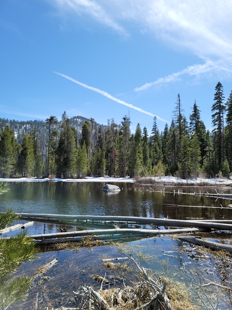 Tahoe Yosemite TrailHikingPhoto: themikeambrose, CC BY-SA 2.0 (via Flickr)1.6 mi
 Bayview CampgroundCampingPhoto: Rick McCharles — CC BY 2.0 (via Flickr)4.7 mi
 Taylor CreekCanoeingPhoto: Schmiebel, CC BY-SA 3.0 (via Wikimedia Commons)6.7 mi
Source: Roamze catalog (indexable pages within 10 miles, PostGIS distance)
Rubicon TrailHiking · ~3 min drivePhoto: ray_explores, CC BY 2.0 (via Flickr) Lily Pond TrailHiking · ~5 min drivePhoto: Oscar Vasquez / California Department of Parks and Recreation, Public domain (via Wikimedia Commons)
 General Creek TrailHiking · ~5 min drivePhoto: ilya_ktsn, CC BY 2.0 (via Flickr)
 EAGLE FALLS TRAILHiking · ~7 min drivePhoto: radicalespresso, Public Domain Mark (via Flickr)General Creek TrailHiking · ~5 min drivePhoto: Oscar Vasquez / California Department of Parks and Recreation, Public domain (via Wikimedia Commons)West Shore TrailHiking · ~5 min drivePhoto: Oscar Vasquez / California Department of Parks and Recreation, Public domain (via Wikimedia Commons)Lost LakeHiking · ~6 min drivePhoto: ilya_ktsn, CC BY 2.0 (via Flickr)
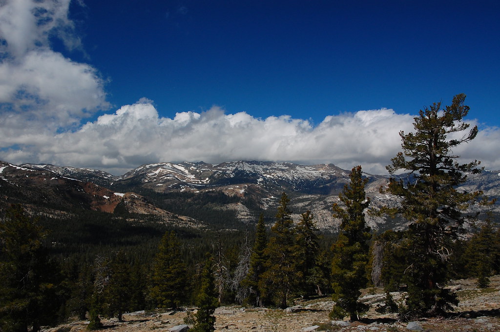 PACIFIC CREST TRAILHiking · ~7 min drivePhoto: ilya_ktsn, CC BY 2.0 (via Flickr)Eagle Falls VistaHiking · ~7 min drivePhoto: radicalespresso, Public Domain Mark (via Flickr)
About 1.7 mi round trip.
About 2,288 ft of climbing round trip.
It is rated moderate.
About 1.5 hours round trip.
Map and trail data © OpenStreetMap contributors


