Sugar Pine Point Campground
Campground
Campground · 0.5 mi from the trail
 Photo: Oscar Vasquez / California Department of Parks and Recreation, Public domain (via Wikimedia Commons)
Closure in the area
There's a closure order in Lake Tahoe Basin Management Unit. It doesn't name West Shore Trail, so check the source for the area it covers.
Harmful Algal Blooms
Agency closure covering Lake Tahoe Basin Management Unit · USFS · Lake Tahoe Basin Management Unit
Desolation Wilderness Food and Refuse Storage (Bear Canister) Restriction
Agency alert covering Lake Tahoe Basin Management Unit · Order 19-25-06 · USFS · Lake Tahoe Basin Management Unit
Meyers Landfill Area Closure
Agency alert covering Lake Tahoe Basin Management Unit · Order 19-25-01 · USFS · Lake Tahoe Basin Management Unit
Campfire Restrictions
Agency alert covering Lake Tahoe Basin Management Unit · Order 19-24-04 · USFS · Lake Tahoe Basin Management Unit
Camping/Overnight Stay Restriction
Agency alert covering Lake Tahoe Basin Management Unit · Order 19-24-05 · USFS · Lake Tahoe Basin Management Unit
As of · Source: USFS · Lake Tahoe Basin Management Unit. Agencies don't list every closure — check before you go.
West Shore Trail is an easy hike in Ed Z'Berg Sugar Pine Point State Park, on the California side of Lake Tahoe. The trail is an out-and-back route of about 4.8 miles, with a total elevation gain of 743 feet, and it sits within the Lake Tahoe Basin Management Unit. The land is managed by State Park and Recreation, and the trail starts at an elevation of about 6,300 feet, with the high point at 6,366 feet. The most comfortable months for a visit are July and August, when typical averages from the nearby Tahoma weather station run around 77°F for highs and 46°F for lows. Winter is much colder, with January highs near 37°F and lows around 22°F. The trail makes a good base for exploring the surrounding area. General Creek Trail and South Fire Road both lie about 0.2 miles away. Meeks Bay Campground is about 1.2 miles off, and Ridgeline Boulders is about 1.3 miles away.
Sugar Pine Point Campground
Campground
Places © OpenStreetMap contributors, Places © Overture Maps Foundation
More in Sunnyside-Tahoe CityNot on Roamze yet. Their page has how to reach them.
General Creek TrailHikingPhoto: Oscar Vasquez / California Department of Parks and Recreation, Public domain (via Wikimedia Commons)0.2 mi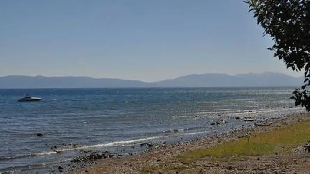 Kaspian CampgroundCampingPhoto: Recreation.gov (RIDB) / public domain4.8 mi
Source: Roamze catalog (indexable pages within 10 miles, PostGIS distance)
Lily Pond TrailHiking · ~3 min drivePhoto: Oscar Vasquez / California Department of Parks and Recreation, Public domain (via Wikimedia Commons) General Creek TrailHiking · ~6 min drivePhoto: ilya_ktsn, CC BY 2.0 (via Flickr)
 Rubicon TrailHiking · ~7 min drivePhoto: ray_explores, CC BY 2.0 (via Flickr)
 EAGLE FALLS TRAILHiking · ~12 min drivePhoto: radicalespresso, Public Domain Mark (via Flickr)
 Cedar Ridge TrailHiking · ~6 min drivePhoto: jrtaylor08, CC BY-SA 3.0 (via Wikimedia Commons)
 Lighthouse TrailHiking · ~7 min drivePhoto: ray_explores — CC BY 2.0 (via Flickr)General Creek TrailHiking · Next doorPhoto: Oscar Vasquez / California Department of Parks and Recreation, Public domain (via Wikimedia Commons)
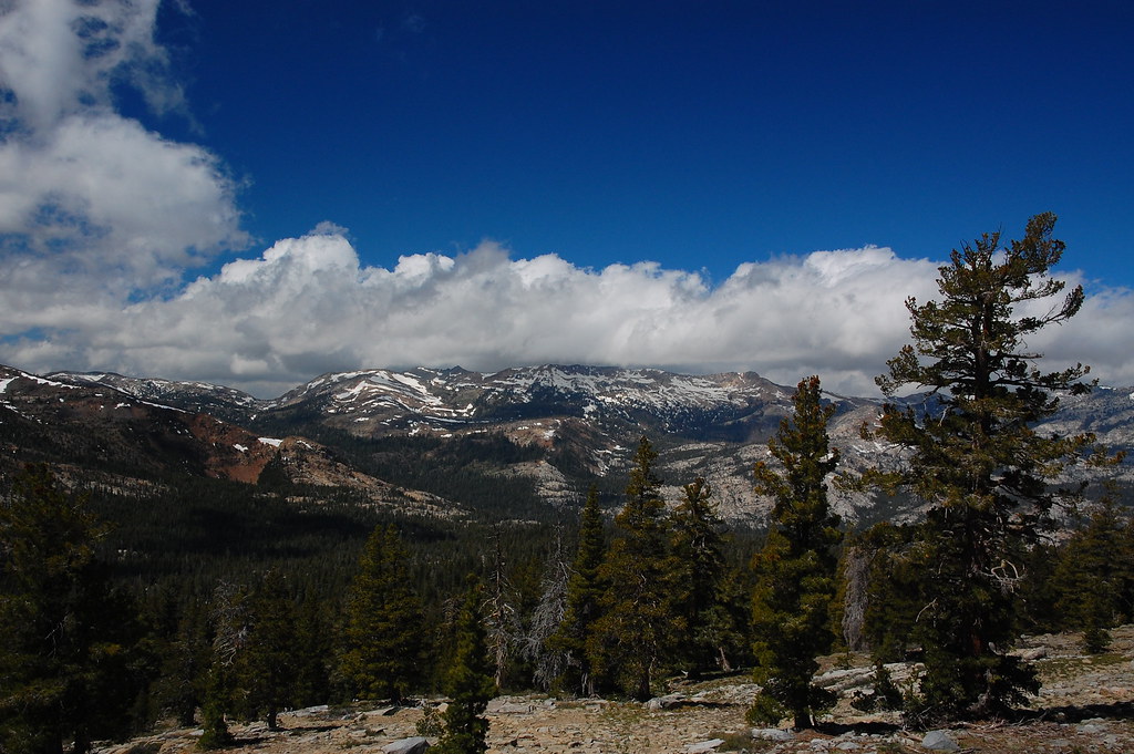 PACIFIC CREST TRAILHiking · ~12 min drivePhoto: ilya_ktsn, CC BY 2.0 (via Flickr)
 West Shore TrailHiking · ~6 min drivePhoto: jrtaylor08, CC BY-SA 3.0 (via Wikimedia Commons)Lost LakeHiking · ~7 min drivePhoto: ilya_ktsn, CC BY 2.0 (via Flickr)
Best months: May–October. Best months have typical highs of 55–85 °F, lows of 30 °F or warmer (32 °F where the station doesn't record snow), at most one snowy day and no more than 12 wet days.
Jan
37° / 22°
Feb
38° / 22°
Mar
43° / 25°
Apr
49° / 27°
May
58° / 34°
Jun
69° / 40°
Jul
77° / 46°
Aug
76° / 46°
Sep
69° / 41°
Oct
58° / 34°
Nov
44° / 27°
Dec
38° / 21°
Typical high / low (°F) and days with rain or snow, 1991–2020. Measured at Tahoma, CA, 0.8 mi away at 6,315 ft. This station doesn't record snowfall. Source: NOAA NCEI U.S. Climate Normals 1991–2020.
Map and trail data © OpenStreetMap contributors

