Ten Bear
- 3.0 mi
- round trip
- 311 ft
- climb
- 5,230 ft
- high point
- Out and back
- route
Is Ten Bear open right now?
Alert in the area
The Forest Service lists an alert for Ukonom Ranger District.
Ishi Pishi River Area Use Restriction
Agency alert covering Ukonom Ranger District · Order 05-05-58-26-04 · USFS · Ukonom Ranger District
As of · Source: USFS · Ukonom Ranger District. Agencies don't list every closure — check before you go.
Ten Bear is a moderate, 3-mile out-and-back hike in the Ukonom Ranger District of Six Rivers National Forest, in northern California. The trail gains about 311 feet, climbing from roughly 4,944 feet to about 5,230 feet at its high point. The Forest Service manages the surrounding land. The route is straightforward: a short walk that reaches a modest elevation gain. It works well as a quick outing or as a warm-up before exploring the network of trails in the area. Several other outings sit within a few miles. The Stanshaw Trail is about 1.8 miles away and the Mccash hike about 2.4 miles. Paddlers can find Ukonom Creek about 4 miles off, and Dillon Campground offers a place to stay about 6.5 miles away.
Local outfitters
- Applegate Trail Rides48 mi away
Not on Roamze yet. Their page has how to reach them.
Keep exploring — more trails worth the drive
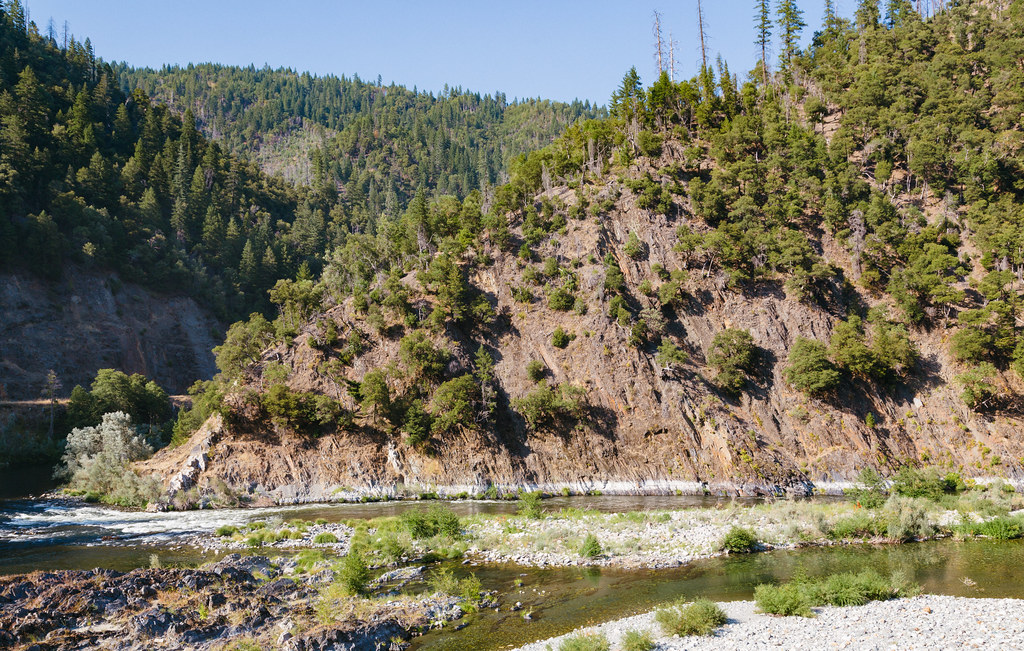 Photo: Tony Webster, CC BY 2.0 (via Flickr)
Dillon Creek
~11 min drive
12.40-mile out-and-back trail in California with 3,664 ft elevation gain.
HIKE
Stanshaw Trail
~3 min drive
7.1-mile out-and-back trail in California with 1,915 ft elevation gain.
HIKE
Torgerson
~5 min drive
2.96-mile out-and-back trail in California with 852 ft gain
HIKE
Wooley Creek Trail
~12 min drive
10.5-mile out-and-back hike in California with 4,515 ft elevation gain and loss.
HIKE
Mccash
~4 min drive
8.40-mile out-and-back trail in California with 1,820 ft elevation gain.
HIKE
Let'er Buck
~6 min drive
3.15-mile out-and-back trail in California with 593 ft elevation gain.
HIKE
Round Meadow
~6 min drive
0.21-mile out-and-back trail at Round Meadow in California.
HIKE
WOOLEY CREEK
~17 min drive
28.86-mile out-and-back trail in California with 5,315 ft elevation gain/loss.
HIKE
Half Moon
~5 min drive
7.62-mile out-and-back trail in California with 1,862 ft elevation gain.
HIKE
Hells Meadows Trail
~7 min drive
5.24-mile out-and-back hike in California with 1,719 ft gain/loss.
