Rings Loop
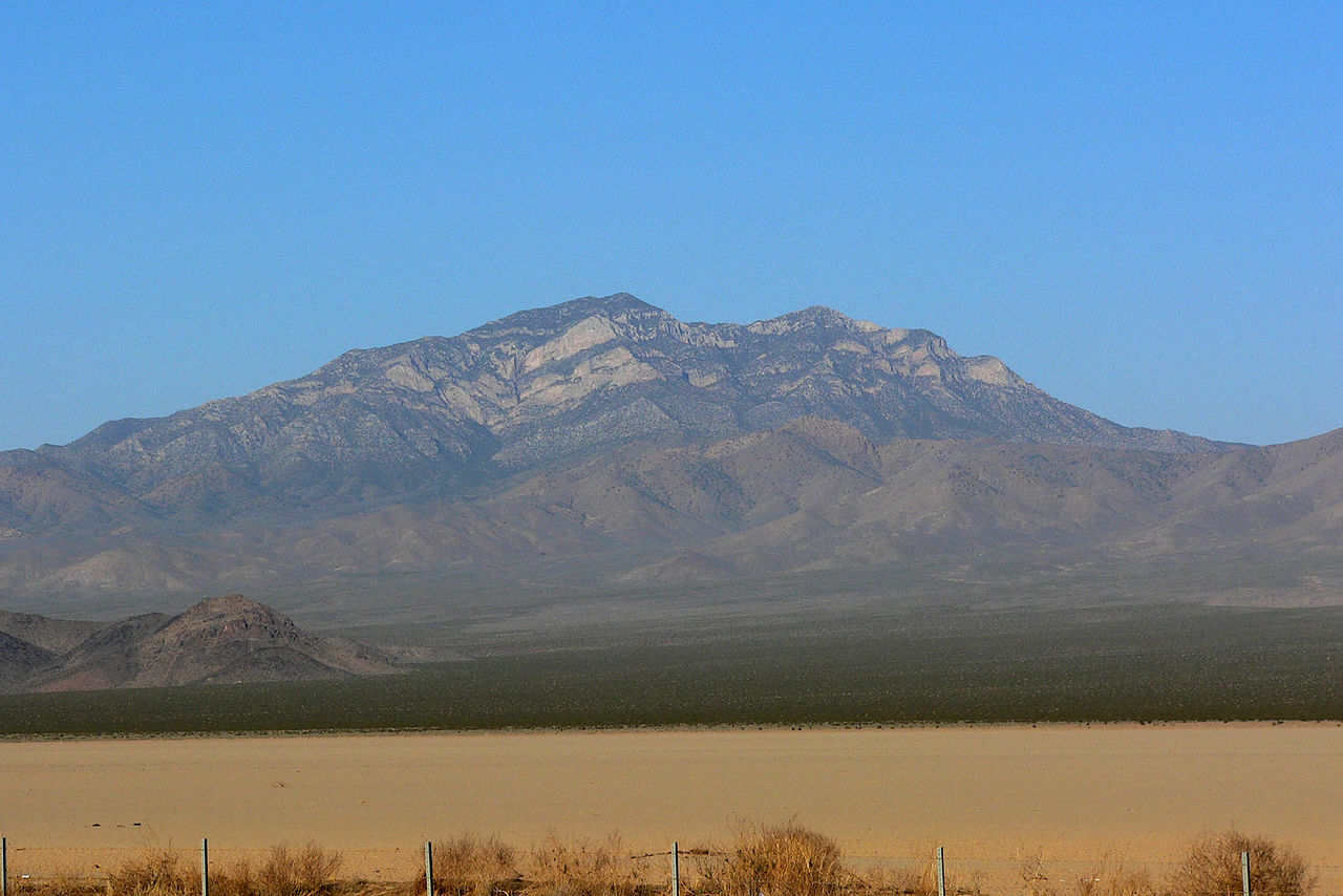
 Photo: B. Michel
- 1.1 mi
- loop
- 95 ft
- climb
- 4,263 ft
- high point
- Loop
- route
- Feb–May, Sep–Nov
- best months
Is Rings Loop open right now?
Closure in the area
There's a closure order in Mojave National Preserve. It doesn't name Rings Loop, so check the source for the area it covers (2 listed).
Kelso Depot Visitor Center closed
Park closure covering Mojave National Preserve · NPS · Mojave National Preserve
Hart Mine Road Closed
Park closure covering Mojave National Preserve · NPS · Mojave National Preserve
Do not pick up hitchhikers
Park alert covering Mojave National Preserve · NPS · Mojave National Preserve
As of · Source: NPS · Mojave National Preserve. Agencies don't list every closure — check before you go.
Rings Loop is a short, easy hike in Mojave National Preserve, about 1.1 miles one way, with a total elevation gain of about 95 feet. The National Park Service manages the land, and the trail connects to the Mid Hills to Hole-in-the-Wall Trail. The route ascends narrow Banshee Canyon, and the metal rings built into the rock help you climb. Spring and fall are the most comfortable times to go. Typical averages from a nearby weather station run to highs around 68°F in April and 74°F in October. Midsummer highs typically reach the low 90s. Dogs are allowed on a leash. There is no fee to hike the loop. Barber Peak Connector Trail and Barber Peak Loop Trail both start within a quarter mile. Mid Hills to Hole-in-the-Wall Trail lies about 5.8 miles away.
Local outfitters
- Sunrise Adventures Ridgeview Resort48 mi away
Not on Roamze yet. Their page has how to reach them.
- Barber Peak Connector TrailHiking0.1 mi
 Barber Peak Loop TrailHikingPhoto: cifraser1, CC BY 2.0 (via Flickr)0.2 mi
- Mid Hills to Hole-in-the-Wall TrailHiking5.8 mi
- Mid Hills TrailHiking5.8 mi
 Rock Springs TrailHikingPhoto: GSEC, CC BY 2.0 (via Flickr)8.4 mi
 Rock SpringHikingPhoto: NPS8.4 mi
 Mary Beal Nature TrailHikingPhoto: kallahar, CC BY 3.0 (via Wikimedia Commons)9.5 mi
Source: Roamze catalog (indexable pages within 10 miles, PostGIS distance)
- Barber Peak Loop TrailHiking · Next doorPhoto: cifraser1, CC BY 2.0 (via Flickr)
- Rock SpringHiking · ~14 min drive
- Mid Hills to Hole-in-the-Wall TrailHiking · ~10 min drive
- Hummingbird Spring TrailHiking · ~35 min drive
- Rock Springs TrailHiking · ~14 min drivePhoto: GSEC, CC BY 2.0 (via Flickr)
- The Lava TubeHiking · ~40 min drive
- Quail SpringHiking · ~31 min drive
- Old Cable TrailHiking · ~43 min drive
- Mary Beal Nature TrailHiking · ~16 min drivePhoto: kallahar, CC BY 3.0 (via Wikimedia Commons)
- Bonanza Spring TrailHiking · ~42 min drive
Best time to visit Rings Loop
Best months: February–May and September–November. Best months have typical highs of 55–85 °F, lows of 30 °F or warmer (32 °F where the station doesn't record snow), at most one snowy day and no more than 12 wet days.
Jan
54° / 40°
5 wet
Feb
55° / 41°
5 wet
Mar
62° / 45°
4 wet
Apr
68° / 50°
2 wet
May
77° / 58°
1 wet
Jun
87° / 69°
1 wet
Jul
92° / 73°
2 wet
Aug
91° / 72°
3 wet
Sep
85° / 68°
3 wet
Oct
74° / 57°
2 wet
Nov
62° / 47°
3 wet
Dec
53° / 40°
4 wet
Typical high / low (°F) and days with rain or snow, 1991–2020. Measured at Mitchell Caverns, CA, 11 mi away at 4,350 ft. This station doesn't record snowfall. Source: NOAA NCEI U.S. Climate Normals 1991–2020.