Laguna Seca B Camp
Campground
Campground · 5.4 mi from the trail
 Photo: btwashburn, CC BY 2.0 (via Flickr)
Sage Trail is a 2.72-mile out-and-back hike in California with 2,001 feet of elevation gain and loss. The trail reaches a maximum elevation of 992 feet.
Laguna Seca B Camp
Campground
 If it rainsLordHarris at English Wikipedia, CC BY-SA 3.0 · Wikimedia Commons
Places © OpenStreetMap contributors, Places © Overture Maps Foundation · Photos: LordHarris at English Wikipedia, CC BY-SA 3.0 (commons)
More in GonzalesLive Oak TrailHikingPhoto: btwashburn, CC BY 2.0 (via Flickr)0.1 miMaple Canyon TrailHikingPhoto: btwashburn, CC BY 2.0 (via Flickr)0.3 miMesa TrailHikingPhoto: btwashburn, CC BY 2.0 (via Flickr)0.3 mi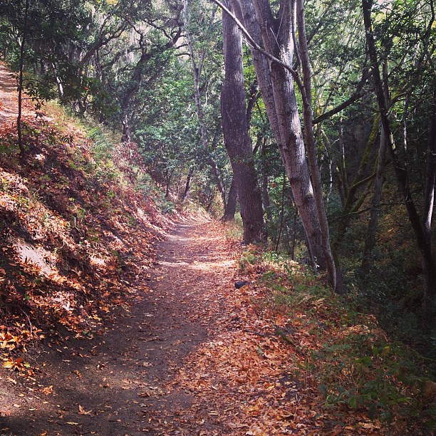 Fern TrailHikingPhoto: neil conway, CC BY 2.0 (via Flickr)0.4 mi
 Sky TrailHikingPhoto: ilya_ktsn, CC BY 2.0 (via Flickr)0.4 miLupine Loop TrailHikingPhoto: neil conway, CC BY 2.0 (via Flickr)0.5 mi
 Rancho Loop TrailHikingPhoto: CarbonNYC [in SF!], CC BY 2.0 (via Flickr)0.5 mi
 Carmel RiverCanoeingPhoto: David.c.stone, CC BY 3.0 (via Wikimedia Commons)4.1 mi
Source: Roamze catalog (indexable pages within 10 miles, PostGIS distance)
Live Oak TrailHiking · Next doorPhoto: btwashburn, CC BY 2.0 (via Flickr)Maple Canyon TrailHiking · Next doorPhoto: btwashburn, CC BY 2.0 (via Flickr)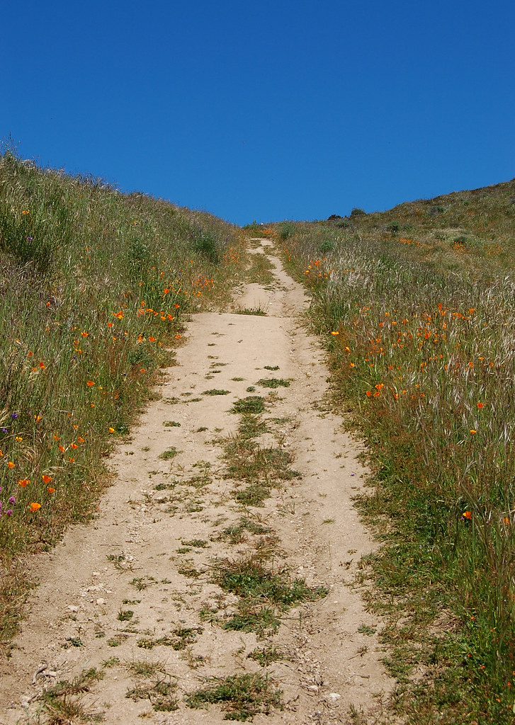 Snively's Ridge TrailHiking · ~2 min drivePhoto: ilya_ktsn, CC BY 2.0 (via Flickr)Mesa TrailHiking · Next doorPhoto: btwashburn, CC BY 2.0 (via Flickr)Fern TrailHiking · Next doorPhoto: neil conway, CC BY 2.0 (via Flickr)
 Saddle TrailHiking · ~4 min drivePhoto: DeeAshley, CC BY 2.0 (via Flickr)Sky TrailHiking · Next doorPhoto: ilya_ktsn, CC BY 2.0 (via Flickr)Lupine Loop TrailHiking · Next doorPhoto: neil conway, CC BY 2.0 (via Flickr)
 Redwood Canyon TrailHiking · ~2 min drivePhoto: ilya_ktsn, CC BY 2.0 (via Flickr)
Best months: Year-round. Best months have typical highs of 55–85 °F, lows of 30 °F or warmer (32 °F where the station doesn't record snow), at most one snowy day and no more than 12 wet days.
Jan
63° / 40°
11 wet
Feb
64° / 41°
10 wet
Mar
67° / 41°
10 wet
Apr
69° / 43°
7 wet
May
71° / 46°
4 wet
Jun
76° / 48°
1 wet
Jul
78° / 51°
0 wet
Aug
80° / 51°
0 wet
Sep
81° / 51°
1 wet
Oct
78° / 48°
3 wet
Nov
69° / 42°
7 wet
Dec
63° / 40°
11 wet
Typical high / low (°F) and days with rain or snow, 1991–2020. Measured at Carmel Valley, CA, 3 mi away at 480 ft. The station sits about 500 ft lower than this place, so expect it a little cooler here. This station doesn't record snowfall. Source: NOAA NCEI U.S. Climate Normals 1991–2020.
Map and trail data © OpenStreetMap contributors

