Rat Spring Trail
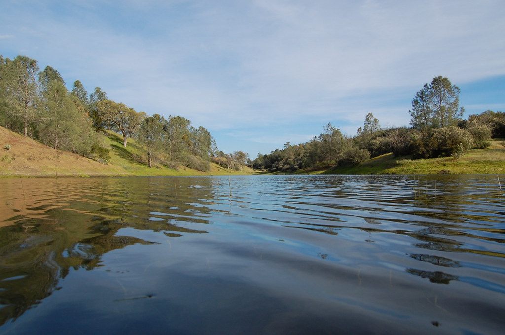
 Photo: ilya_ktsn, CC BY 2.0 (via Flickr)
- 1.0 mi
- round trip
- 676 ft
- climb
- 2,450 ft
- high point
- Out and back
- route
Rat Spring Trail is a short, easy out-and-back hike in Henry W. Coe State Park in California, managed by State Park and Recreation. The trail is about 2 miles long, with a total elevation gain of 676 feet, and it starts and ends at roughly 1,957 feet, reaching a high point of about 2,450 feet. The climb is rolling, and the steepest stretch comes early, around 0.3 miles in, with a grade of about 19 percent. The hike takes about an hour, and the trailhead sits within the park, so plan on a day spent exploring the surrounding network of trails. The closest neighbors are the Canteen Trail, about 0.3 miles away, and the Laurel Trail, about 0.4 miles away. The Mudd Spring Trail and Eagle Pines Trail are also within a mile, making it easy to string several short walks together.
- Canteen TrailHiking0.3 mi
- Laurel TrailHiking0.4 mi
 Mudd Spring TrailHikingPhoto: ilya_ktsn, CC BY 2.0 (via Flickr)0.6 mi
 Eagle Pines TrailHikingPhoto: ilya_ktsn, CC BY 2.0 (via Flickr)0.9 mi
- Heritage TrailHiking1 mi
- Dog TrailHiking1 mi
- Rose Dam TrailHikingPhoto: ilya_ktsn, CC BY 2.0 (via Flickr)1.1 mi
- Mississippi Creek TrailHiking1.2 mi
Source: Roamze catalog (indexable pages within 10 miles, PostGIS distance)
- Mudd Spring TrailHiking · ~1 min drivePhoto: ilya_ktsn, CC BY 2.0 (via Flickr)
- Eagle Pines TrailHiking · ~2 min drivePhoto: ilya_ktsn, CC BY 2.0 (via Flickr)
- Cross Canyon TrailHiking · ~5 min drive
 Willow Ridge TrailHiking · ~4 min drivePhoto: ilya_ktsn, CC BY 2.0 (via Flickr)
- Rose Dam TrailHiking · ~2 min drivePhoto: ilya_ktsn, CC BY 2.0 (via Flickr)
 Pacheco Falls TrailHiking · ~4 min drivePhoto: ilya_ktsn, CC BY 2.0 (via Flickr)
 Hoover Lake TrailHiking · ~2 min drivePhoto: ilya_ktsn, CC BY 2.0 (via Flickr)
- 4th TrailHiking · ~2 min drive
- George Milas TrailHiking · ~3 min drivePhoto: ilya_ktsn, CC BY 2.0 (via Flickr)
- Mississippi Ridge TrailHiking · ~3 min drive

Map and trail data © OpenStreetMap contributors
