Dog Trail
- 1.3 mi
- round trip
- 618 ft
- climb
- 2,357 ft
- high point
- Out and back
- route
Dog Trail is a short, easy hike in Henry W. Coe State Park in California, managed by State Park and Recreation. The route is an out-and-back of about 2.5 miles, with a total elevation gain of 618 feet. The trail starts at roughly 2,343 feet and reaches a high point of about 2,357 feet, so the climb is gentle and the return is nearly the same descent. The steepest part of the trail comes at about 1.1 miles in, where the grade reaches 17 percent. That makes the hike a little more than a mile of steady walking, with the most noticeable change in elevation near the middle. The trail is close to several other routes in the park. Heritage Trail is about 0.6 miles away, Mississippi Creek Trail is about 0.7 miles away, and Canteen Trail is about 0.8 miles away. Bear Mountain Peak Trail is about 1.2 miles away.
- Heritage TrailHiking0.6 mi
- Mississippi Creek TrailHiking0.7 mi
- Canteen TrailHiking0.8 mi
 Rat Spring TrailHikingPhoto: ilya_ktsn, CC BY 2.0 (via Flickr)1 mi
- Laurel TrailHiking1 mi
- Bear Mountain Peak TrailHiking1.2 mi
- Alquist TrailHiking1.5 mi
- Hartman TrailHiking1.5 mi
Source: Roamze catalog (indexable pages within 10 miles, PostGIS distance)
- Rat Spring TrailHiking · ~2 min drivePhoto: ilya_ktsn, CC BY 2.0 (via Flickr)
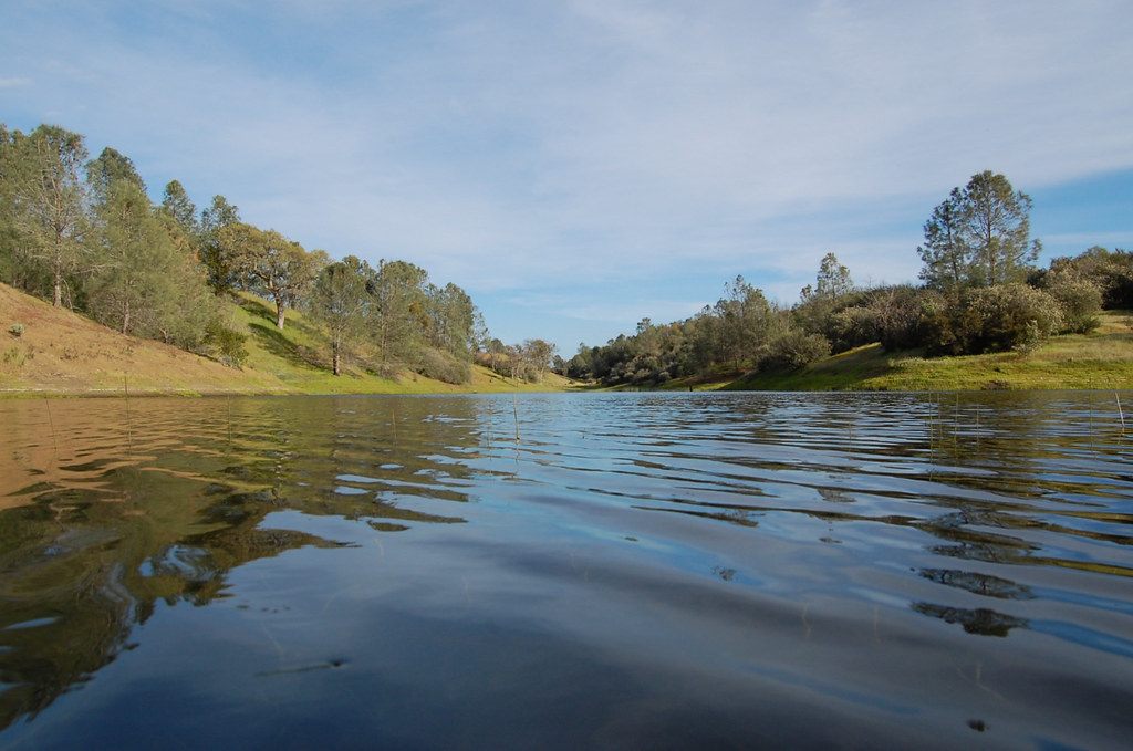 Mudd Spring TrailHiking · ~3 min drivePhoto: ilya_ktsn, CC BY 2.0 (via Flickr)
 Eagle Pines TrailHiking · ~3 min drivePhoto: ilya_ktsn, CC BY 2.0 (via Flickr)
 Willow Ridge TrailHiking · ~4 min drivePhoto: ilya_ktsn, CC BY 2.0 (via Flickr)
- Rose Dam TrailHiking · ~3 min drivePhoto: ilya_ktsn, CC BY 2.0 (via Flickr)
 Pacheco Falls TrailHiking · ~5 min drivePhoto: ilya_ktsn, CC BY 2.0 (via Flickr)
 Hoover Lake TrailHiking · ~4 min drivePhoto: ilya_ktsn, CC BY 2.0 (via Flickr)
- Bear Mountain Peak TrailHiking · ~2 min drive
 Mustang Cut-off TrailHiking · ~4 min drivePhoto: Dave Raiman, CC BY 3.0 (via Wikimedia Commons)
- Alquist TrailHiking · ~2 min drive

Map and trail data © OpenStreetMap contributors
