Mississippi Creek Trail
- 1.6 mi
- round trip
- 870 ft
- climb
- 1,959 ft
- high point
- Out and back
- route
Mississippi Creek Trail is a short, easy hike in Henry W. Coe State Park in California, managed by State Park and Recreation. The trail runs out and back, with a total round-trip distance of about 3.2 miles. The one-way trip covers roughly 1.6 miles, and the elevation gain is about 302 feet each way. The route starts at about 1,959 feet and reaches a high point of about 1,959 feet before returning, so the trail is essentially flat. The steepest stretch, about 15%, comes at roughly 0.75 miles in. Several other trails sit close by, including Dog Trail and Alquist Trail, both under a mile away, as well as Laurel Trail and Turkey Pond Trail, each about a mile off.
- Dog TrailHiking0.7 mi
- Alquist TrailHiking0.8 mi
- Laurel TrailHiking1 mi
- Turkey Pond TrailHiking1 mi
- Canteen TrailHiking1.1 mi
 Rat Spring TrailHikingPhoto: ilya_ktsn, CC BY 2.0 (via Flickr)1.2 mi
- Mississippi Ridge TrailHiking1.2 mi
- Heritage TrailHiking1.2 mi
Source: Roamze catalog (indexable pages within 10 miles, PostGIS distance)
- Rat Spring TrailHiking · ~2 min drivePhoto: ilya_ktsn, CC BY 2.0 (via Flickr)
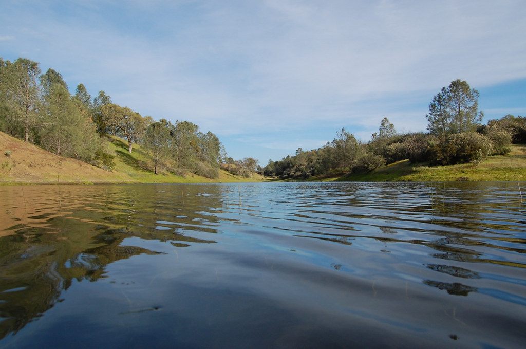 Mudd Spring TrailHiking · ~3 min drivePhoto: ilya_ktsn, CC BY 2.0 (via Flickr)
- Rose Dam TrailHiking · ~3 min drivePhoto: ilya_ktsn, CC BY 2.0 (via Flickr)
 Pacheco Falls TrailHiking · ~4 min drivePhoto: ilya_ktsn, CC BY 2.0 (via Flickr)
 Eagle Pines TrailHiking · ~3 min drivePhoto: ilya_ktsn, CC BY 2.0 (via Flickr)
 Willow Ridge TrailHiking · ~5 min drivePhoto: ilya_ktsn, CC BY 2.0 (via Flickr)
 Mustang Cut-off TrailHiking · ~3 min drivePhoto: Dave Raiman, CC BY 3.0 (via Wikimedia Commons)
- Gunsight TrailHiking · ~5 min drivePhoto: ilya_ktsn, CC BY 2.0 (via Flickr)
 Hoover Lake TrailHiking · ~4 min drivePhoto: ilya_ktsn, CC BY 2.0 (via Flickr)
- Alquist TrailHiking · ~1 min drive

Map and trail data © OpenStreetMap contributors
