Sierra Pines Camp
Campground
Campground · 1.9 mi from the trail
 Photo: Phreakdigital (talk · contribs), Public domain (via Wikimedia Commons)
Alert in the area
The Forest Service lists 2 alerts for Eldorado National Forest.
Help Halt Golden Mussel Invasion
Agency alert covering Eldorado National Forest · USFS · Eldorado National Forest
Deer Valley Trail (19E01) & Meadow Lake Road (09N01)
Agency alert covering Eldorado National Forest · Order 03-24-05 · USFS · Eldorado National Forest
As of · Source: USFS · Eldorado National Forest. Agencies don't list every closure — check before you go.
Ralston Peak is a short, easy out-and-back hike in California's Desolation Wilderness, part of the Pacific Ranger District of Eldorado National Forest. The trail is about 1.2 miles long, with a one-way elevation gain of 434 feet, taking you from a low point of about 8,773 feet to a high point of about 9,222 feet. The Forest Service manages the land, and the route is on natural surface, with no bikes allowed. The peak sits within the wilderness, so plan on a day in the backcountry. The trip is open year-round, and the surrounding area offers plenty to pair with it. Mt. Ralston is about 0.8 miles away, and the PCT Ralston Lake Spur is about 1.1 miles off. Climbers can head to Gemini Boulders, about a mile away, and Lovers Leap Campground is about 3.1 miles away for an overnight stay.
Sierra Pines Camp
Campground
Baldwin Home
Museum
Places © OpenStreetMap contributors
More in Sunnyside-Tahoe CityNot on Roamze yet. Their page has how to reach them.
Daily highs and lows, wind and the chance of precipitation at the summit and route start for the next 7 days, from the Open-Meteo model.
 Mt. RalstonHikingPhoto: ray_explores, CC BY 2.0 (via Flickr)0.8 mi
 Gemini BouldersRock climbingPhoto: ray_explores, CC BY 2.0 (via Flickr)1 mi
 PCT RALSTON LAKE SPURHikingPhoto: simonov, CC BY-SA 2.0 (via Flickr)1.1 miTroubled Waters BoulderRock climbingPhoto: ray_explores, CC BY 2.0 (via Flickr)1.1 mi
 Lovers Leap Cg & Day UseCampingPhoto: -Jérôme- — CC BY 2.0 (via Flickr)3.1 mi
Source: Roamze catalog (indexable pages within 10 miles, PostGIS distance)
 Ralston Peak TrailHiking · Next doorPhoto: simonov, CC BY-SA 2.0 (via Flickr)Mt. RalstonHiking · ~1 min drivePhoto: ray_explores, CC BY 2.0 (via Flickr)
 Pyramid Peak TrailHiking · ~4 min drivePhoto: Peter, CC BY-SA 2.0 (via Wikimedia Commons)
 Lily Lake TrailHiking · ~6 min drivePhoto: Scorewith German, CC BY 3.0 (via Wikimedia Commons)
 Saucer Lake TrailHiking · ~4 min drivePhoto: lewinb, CC BY-SA 2.0 (via Flickr)
 Pacific Crest TrailHiking · ~2 min drivePhoto: lamblukas, CC BY 2.0 (via Flickr)
 Pacific Crest TrailHiking · ~6 min drivePhoto: lewinb, CC BY-SA 2.0 (via Flickr)
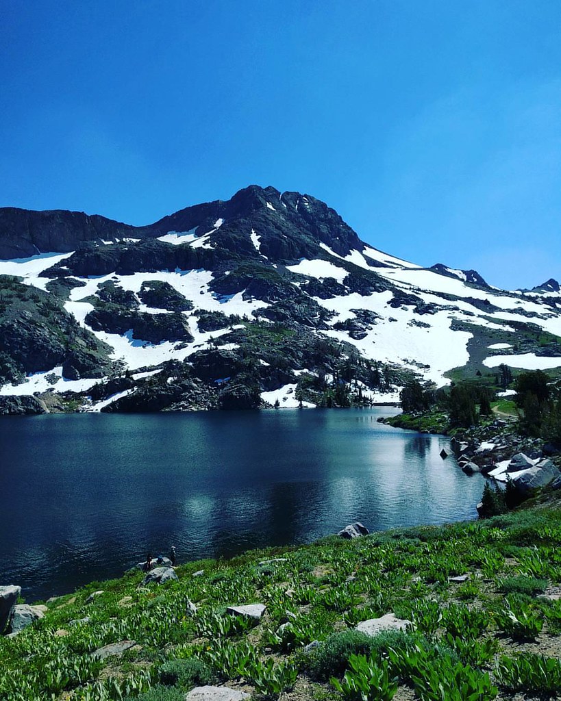 Climber's Descent TrailHiking · ~5 min drivePhoto: npdoty, CC BY 2.0 (via Flickr)
 Pyramid TrailHiking · ~2 min drivePhoto: ray_explores, CC BY 2.0 (via Flickr)
 Pacific Crest TrailHiking · ~6 min drivePhoto: simonov, CC BY-SA 2.0 (via Flickr)
Also worth it near here
 Ralston PeakSummit · Next doorPhoto: Jonathan Fox, CC BY-SA 2.0 (via Wikimedia Commons)
 Tamarack Lake TrailMountain biking · ~2 min drivePhoto: brewbooks from near Seattle, USA, CC BY-SA 2.0 (via Wikimedia Commons)
 Old PeculiarRock climbing · ~4 min drivePhoto: brewbooks, CC BY-SA 2.0 (via Flickr)
Season: Year-round.
About 1.2 mi round trip.
About 434 ft of climbing round trip.
It is rated easy.
Year-round.
