Stanford Sierra Camp
Campground
Campground · 2.3 mi from the trail
 Photo: simonov, CC BY-SA 2.0 (via Flickr)
Closure in the area
There's a closure order in Lake Tahoe Basin Management Unit. It doesn't name Pacific Crest Trail, so check the source for the area it covers.
Harmful Algal Blooms
Agency closure covering Lake Tahoe Basin Management Unit · USFS · Lake Tahoe Basin Management Unit
Desolation Wilderness Food and Refuse Storage (Bear Canister) Restriction
Agency alert covering Lake Tahoe Basin Management Unit · Order 19-25-06 · USFS · Lake Tahoe Basin Management Unit
Meyers Landfill Area Closure
Agency alert covering Lake Tahoe Basin Management Unit · Order 19-25-01 · USFS · Lake Tahoe Basin Management Unit
Campfire Restrictions
Agency alert covering Lake Tahoe Basin Management Unit · Order 19-24-04 · USFS · Lake Tahoe Basin Management Unit
Camping/Overnight Stay Restriction
Agency alert covering Lake Tahoe Basin Management Unit · Order 19-24-05 · USFS · Lake Tahoe Basin Management Unit
As of · Source: USFS · Lake Tahoe Basin Management Unit. Agencies don't list every closure — check before you go.
This is a 9.1-mile out-and-back section of the Pacific Crest Trail in California's Desolation Wilderness, within the Lake Tahoe Basin Management Unit. The route starts at 7,892 feet and climbs to 9,372 feet, with a total gain of 3,761 feet. The climb is front-loaded, and the steepest stretch comes at about 2.5 miles in, where the grade reaches 21 percent. The trail is rated hard, and the round trip takes about five hours. The Forest Service manages the land, and the route lies entirely within designated wilderness. The nearest town is South Lake Tahoe, about 10 miles away. Several other outings sit close by. Half Moon Lake Trail is 0.4 miles off, and Susie Lateral Trail is 0.6 miles away. Desolation Wilderness Bouldering is about 1.9 miles out, and Bayview Campground is 3.8 miles away.
Stanford Sierra Camp
Campground
Beacon Bar & Grill
Restaurant
Baldwin Home
Museum
Places © OpenStreetMap contributors
More in Sunnyside-Tahoe CityNot on Roamze yet. Their page has how to reach them.
 Half Moon Lake TrailHikingPhoto: Rick McCharles, CC BY 2.0 (via Flickr)0.4 miSusie Lateral TrailHikingPhoto: Rick McCharles, CC BY 2.0 (via Flickr)0.6 mi
 Desolation Wilderness BoulderingRock climbingPhoto: ilya_ktsn, CC BY 2.0 (via Flickr)1.9 mi
 Bayview CampgroundCampingPhoto: Rick McCharles — CC BY 2.0 (via Flickr)3.8 mi
 Taylor CreekCanoeingPhoto: Schmiebel, CC BY-SA 3.0 (via Wikimedia Commons)4 mi
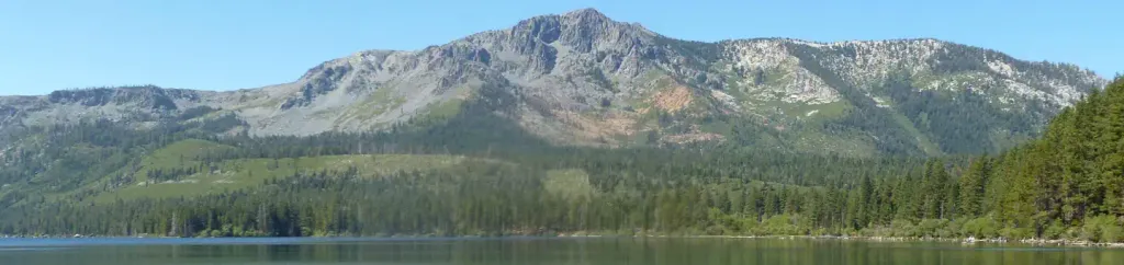 Fallen Leaf CampgroundCampingPhoto: Recreation.gov (RIDB) / public domain4.3 mi
Source: Roamze catalog (indexable pages within 10 miles, PostGIS distance)
Half Moon Lake TrailHiking · Next doorPhoto: Rick McCharles, CC BY 2.0 (via Flickr)Susie Lateral TrailHiking · Next doorPhoto: Rick McCharles, CC BY 2.0 (via Flickr) Floating Island TrailHiking · ~4 min drivePhoto: simonov, CC BY-SA 2.0 (via Flickr)
 Floating Island / Mount Tallac TrailHiking · ~2 min drivePhoto: simonov, CC BY-SA 2.0 (via Flickr)
 Grass Lake TrailHiking · ~2 min drivePhoto: ilya_ktsn, CC BY 2.0 (via Flickr)
 Tamarack Lake TrailHiking · ~4 min drivePhoto: bsterling, CC BY-SA 2.0 (via Flickr)
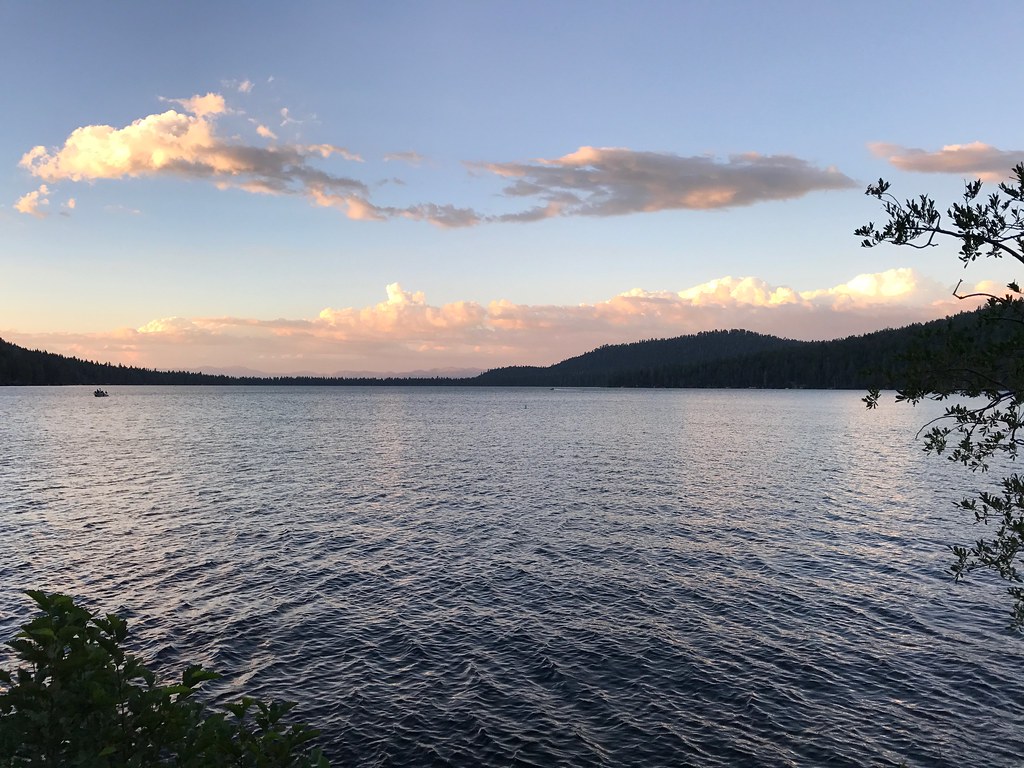 Cathedral TrailHiking · ~4 min drivePhoto: bsterling, CC BY-SA 2.0 (via Flickr)
 Glen AlpineHiking · ~3 min drivePhoto: m01229, CC BY-SA 2.0 (via Flickr)
 Lily Lake TrailHiking · ~5 min drivePhoto: Scorewith German, CC BY 3.0 (via Wikimedia Commons)
 Angora Lake TrailHiking · ~5 min drivePhoto: Scorewith German, CC BY 3.0 (via Wikimedia Commons)
Map and trail data © OpenStreetMap contributors

