Prosser Family
Campground
Campground · 0.8 mi from the trail
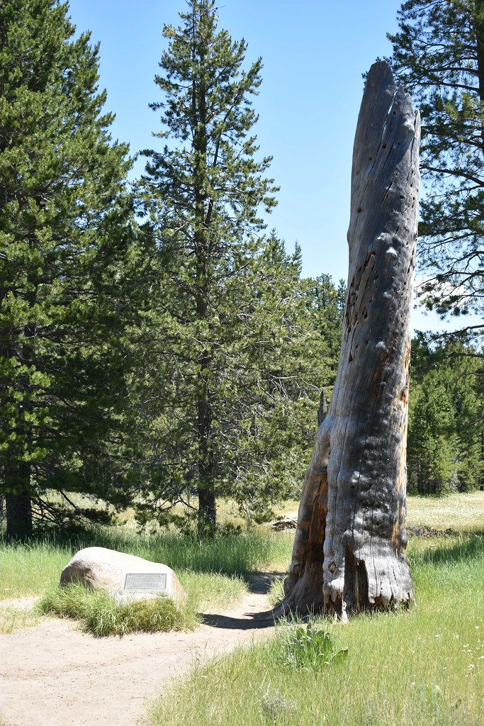 Photo: reverendlukewarm, CC BY-SA 2.0 (via Flickr)
Caution today
Agency alerts are in effect for this area; weather is good · USFS, OpenWeather · checked 2 h ago
Alert in the area
The Forest Service lists an alert for Tahoe National Forest.
Camping and Campfire Restrictions-Truckee and Sierraville Districts
Agency alert covering Tahoe National Forest · Order 17-25-05 · USFS · Tahoe National Forest
As of · Source: USFS · Tahoe National Forest. Agencies don't list every closure — check before you go.
Prosser Lakeview is an easy hike of about 1.5 miles on natural surface in the Truckee Ranger District of Tahoe National Forest, managed by the Forest Service. The trail is an out-and-back with a low point of about 5,780 feet and a high of about 5,821 feet, so the climb is only about 40 feet one way. Summer is the most comfortable time to go. Typical averages from a nearby weather station show July and August highs around 84°F with lows near 40°F and only about two wet days a month. Winter brings highs in the low 40s and regular snow days from December through February. Bikes are allowed, so the route works for both hikers and riders. The Prosser Lakeview Trail for mountain biking starts just 0.1 mile away, and Donner Camp is about 0.4 mile off. Prosser Family and Lakeside campgrounds are each about 0.8 mile away, and Prosser Reservoir - Water Recreation is about a mile away.
Prosser Family
Campground
Pizza on the Hill
Restaurant
Old Jail Museum
Museum
Places © OpenStreetMap contributors
More in Sunnyside-Tahoe CityNot on Roamze yet. Their page has how to reach them.
Best months: June–September. Best months have typical highs of 55–85 °F, lows of 30 °F or warmer (32 °F where the station doesn't record snow), at most one snowy day and no more than 12 wet days.
Jan
42° / 16°
12 wet · 8 snow
Feb
44° / 18°
11 wet · 8 snow
Mar
50° / 21°
10 wet · 7 snow
Apr
55° / 25°
9 wet · 5 snow
May
64° / 31°
7 wet · 2 snow
Jun
75° / 36°
3 wet
Jul
84° / 41°
2 wet
Aug
84° / 40°
2 wet
Sep
76° / 34°
3 wet
Oct
65° / 28°
5 wet · 1 snow
Nov
51° / 21°
8 wet · 4 snow
Dec
40° / 15°
11 wet · 8 snow
Typical high / low (°F) and days with rain or snow, 1991–2020. Measured at Truckee Rs, CA, 2.7 mi away at 5,823 ft. Source: NOAA NCEI U.S. Climate Normals 1991–2020.
 Photo: donner summit historical society, Public Domain Mark (via Flickr)
Donner Camp
Next door
0.40-mile loop trail at Donner Camp in California with 12 ft of elevation gain.
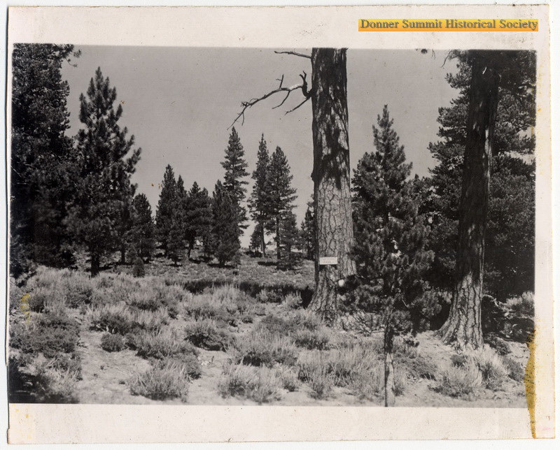 Photo: donner summit historical society, Public Domain Mark (via Flickr)
Prosser Knob Loop
~2 min drive
5.92-mile out-and-back trail in California with 804 ft elevation gain.
HIKE
Donkey Town
~7 min drive
7.32-mile out-and-back trail in California with 1,040 ft gain.
HIKE
HOBART LOOP
~7 min drive
17.56-mile out-and-back trail in California with 3,052 ft gain/loss.
Photo: donner summit historical society, Public Domain Mark (via Flickr)Commemorative Overland Emigrant Trail
Next door
5.9-mile out-and-back hike in California with 751 ft elevation gain/loss.
 Photo: Michael Gordon, CC BY 3.0 (via Wikimedia Commons)
LLOYD'S TRAIL
~4 min drive
6.96-mile out-and-back hike in California with 1,466 ft elevation gain and loss.
HIKE
Sawtooth
~7 min drive
16.78-mile out-and-back trail in California with 830 ft gain.
Photo: reverendlukewarm, CC BY-SA 2.0 (via Flickr)Commemorative Overland Emigrant Trail
Next door
1.5-mile out-and-back hike in California with 291 ft elevation gain
HIKE
Truckee River Legacy Trail
~5 min drive
8.08-mile out-and-back trail in California with 1,048 ft elevation gain/loss.
HIKE
Commemorative Overland Emigrant Trail
~5 min drive
6.82-mile out-and-back hike in California with 1,334 ft elevation gain and loss.

