Upper Jackass Lake Campground
Campground
Campground · 4.0 mi from the trail
Caution today
Agency alerts are in effect for this area; weather is good · USFS, OpenWeather · checked 4 h ago
Closure in the area
There's a closure order in Sierra National Forest. It doesn't name Post Peak, so check the source for the area it covers (3 listed).
Safety Tips for Burned Areas: Garnet Fire Area
Agency closure covering Sierra National Forest · USFS · Sierra National Forest
Wilderness Food and Refuse Storage
Agency closure covering Sierra National Forest · Order 05-15-00-26-03 · USFS · Sierra National Forest
Food and Refuse Storage
Agency closure covering Sierra National Forest · Order 05-15-00-26-02 · USFS · Sierra National Forest
Forest Order removes Fish Camp, Soda Springs, and Little Jackass from closure list
Agency alert covering Sierra National Forest · Order 05-15-00-26-11 · USFS · Sierra National Forest
Ansel Adams and John Muir Wilderness Campfire Restrictions
Agency alert covering Sierra National Forest · Order 05-15-00-26-09 · USFS · Sierra National Forest
As of · Source: USFS · Sierra National Forest. Agencies don't list every closure — check before you go.
Post Peak is a hard hike of about 9.8 miles in the Ansel Adams Wilderness, on the Bass Lake Ranger District of Sierra National Forest in California. The trail is managed by the Forest Service, and it is an out-and-back route with about 2,067 feet of elevation gain, from a low point of about 8,928 feet to a high of about 10,818 feet. The trail surface is natural, and it is accessible only to hikers and horses. Bikes are not allowed, and the trail is not an accessible route. Several other destinations sit close by. Slab Lake is about 0.3 miles away and Rutherford Lake is about 0.7 miles away. Bowler campground is about 5.8 miles away, and the West Fork Granite Creek paddling route is about 2.4 miles away.
Upper Jackass Lake Campground
Campground
Curry Village Pavillion
Fast food
 If it rainsEeekster, CC BY 3.0 · Wikimedia Commons
Sierra Point
Viewpoint
Point in Yosemite National Park at the eastern end of the valley
Places © OpenStreetMap contributors · Photos: Eeekster, CC BY 3.0 (commons)
More in Yosemite ValleyNot on Roamze yet. Their page has how to reach them.
Source: Roamze catalog (indexable pages within 10 miles, PostGIS distance)
 Staniford LakeHiking · ~4 min drivePhoto: Jesse Wagstaff, CC BY 2.0 (via Flickr)
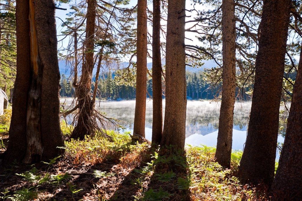 Red Peak PassHiking · ~9 min drivePhoto: Brandon.Levinger, CC BY 2.0 (via Flickr)Chittenden LakeHiking · ~4 min drivePhoto: Jesse Wagstaff, CC BY 2.0 (via Flickr)
 Long CreekHiking · ~9 min drivePhoto: Tom Hilton, CC BY 2.0 (via Flickr)Lady LakeHiking · ~5 min drivePhoto: Jesse Wagstaff, CC BY 2.0 (via Flickr)
 Isberg PassHiking · ~6 min drivePhoto: Charkrem, CC BY 2.0 (via Flickr)

