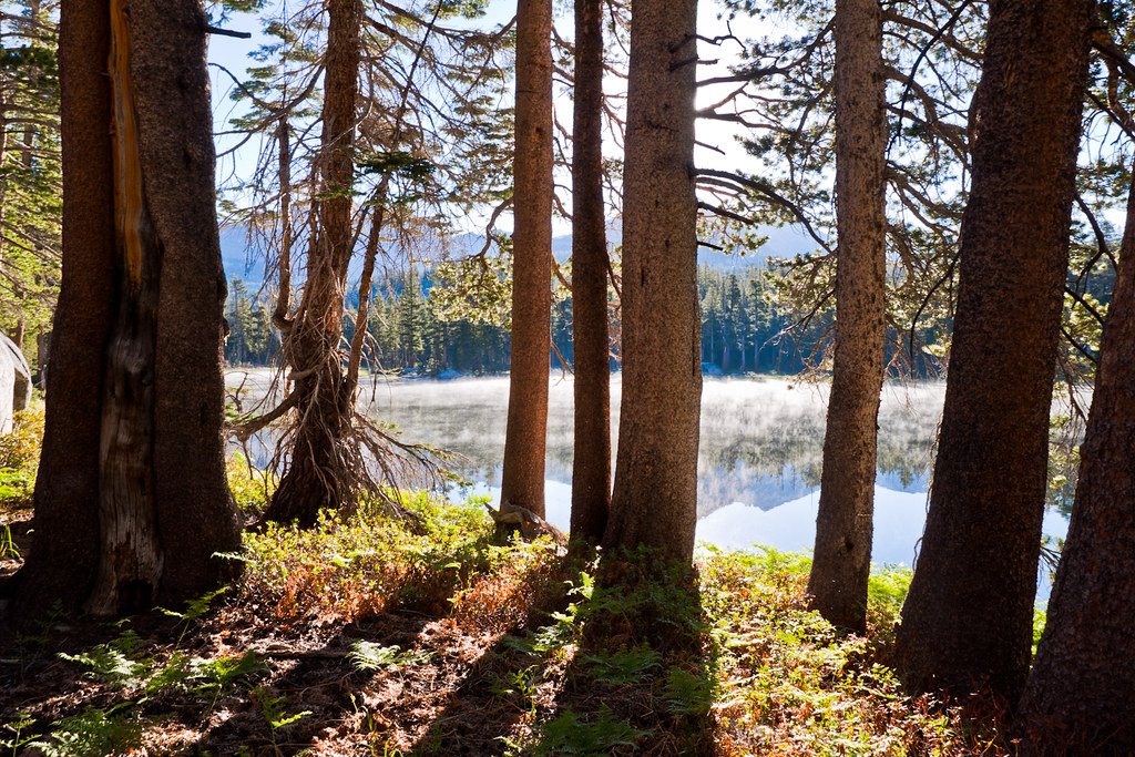
Upper Jackass Lake Campground
Campground
Campground · 5.5 mi from the trail
Closure in the area
There's a closure order in Sierra National Forest. It doesn't name Post Creek, so check the source for the area it covers (3 listed).
Safety Tips for Burned Areas: Garnet Fire Area
Agency closure covering Sierra National Forest · USFS · Sierra National Forest
Wilderness Food and Refuse Storage
Agency closure covering Sierra National Forest · Order 05-15-00-26-03 · USFS · Sierra National Forest
Food and Refuse Storage
Agency closure covering Sierra National Forest · Order 05-15-00-26-02 · USFS · Sierra National Forest
Forest Order removes Fish Camp, Soda Springs, and Little Jackass from closure list
Agency alert covering Sierra National Forest · Order 05-15-00-26-11 · USFS · Sierra National Forest
Ansel Adams and John Muir Wilderness Campfire Restrictions
Agency alert covering Sierra National Forest · Order 05-15-00-26-09 · USFS · Sierra National Forest
As of · Source: USFS · Sierra National Forest. Agencies don't list every closure — check before you go.
Post Creek is a hard hike in the Ansel Adams Wilderness, part of the Bass Lake Ranger District of Sierra National Forest in California. The Forest Service manages the land, and the trail is a natural-surface out-and-back that climbs from about 7,900 feet to about 9,300 feet over roughly 7.7 miles. The route is rated hard, and it is not an accessible trail. Horses are allowed, but bikes are not. Summer is the most comfortable time to go. Typical averages from a nearby weather station at Tuolumne Meadows show July highs around 71°F with lows near 38°F, while winter highs stay in the low 40s. Post Peak, a mountain biking spot, sits about half a mile away, and Slab Lake and Timber Creek are within about 1.6 miles. West Fork Granite Creek, a paddling route, is about 2.5 miles off.
Upper Jackass Lake Campground
Campground
Curry Village Pavillion
Fast food
 If it rainsEeekster, CC BY 3.0 · Wikimedia Commons
Sierra Point
Viewpoint
Point in Yosemite National Park at the eastern end of the valley
Places © OpenStreetMap contributors · Photos: Eeekster, CC BY 3.0 (commons)
More in Yosemite ValleyNot on Roamze yet. Their page has how to reach them.
Source: Roamze catalog (indexable pages within 10 miles, PostGIS distance)
 Isberg PassHiking · ~4 min drivePhoto: Charkrem, CC BY 2.0 (via Flickr)
 Long CreekHiking · ~7 min drivePhoto: Tom Hilton, CC BY 2.0 (via Flickr)
 Joe Crane LakeHiking · ~4 min drivePhoto: Jason Hollinger, CC BY 2.0 (via Wikimedia Commons)
 Red Peak PassHiking · ~11 min drivePhoto: Brandon.Levinger, CC BY 2.0 (via Flickr)Post Peak PassHiking · ~4 min drivePhoto: Jason Hollinger, CC BY 2.0 (via Wikimedia Commons)Mcclure LakeHiking · ~5 min drivePhoto: Jason Hollinger, CC BY 2.0 (via Wikimedia Commons)
Also worth it near here
Best months: June–September. Best months have typical highs of 55–85 °F, lows of 30 °F or warmer (32 °F where the station doesn't record snow), at most one snowy day and no more than 12 wet days.
Jan
41° / 13°
Feb
38° / 12°
Mar
42° / 15°
Apr
45° / 22°
May
54° / 27°
Jun
65° / 33°
Jul
71° / 38°
Aug
70° / 36°
Sep
65° / 32°
Oct
57° / 26°
Nov
47° / 20°
Dec
40° / 12°
Typical high / low (°F) and days with rain or snow, 1991–2020. Measured at Tuolumne Meadows Rs, CA, 18.6 mi away at 8,694 ft. The station sits about 600 ft lower than this place, so expect it a little cooler here. This station doesn't record snowfall. Source: NOAA NCEI U.S. Climate Normals 1991–2020.


