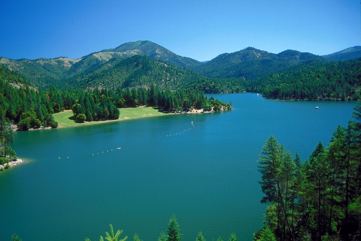
Portuguese Creek
- 12.6 mi
- round trip
- 4,425 ft
- climb
- 5,795 ft
- high point
- Out and back
- route
Is Portuguese Creek open right now?
Alert in the area
The Forest Service lists 2 alerts for Klamath National Forest.
Temporarily closure of approximately 3.5 miles of National Forest System Roads 47N01
Agency alert covering Klamath National Forest · Order 05-05-00-26-08 · USFS · Klamath National Forest
Grayback Road Repairs
Agency alert covering Klamath National Forest · USFS · Klamath National Forest
As of · Source: USFS · Klamath National Forest. Agencies don't list every closure — check before you go.
Portuguese Creek is a hard hike in the Oak Knoll Ranger District of Klamath National Forest in California, managed by the Forest Service. The trail is about 12.6 miles long, and it rises from a low point of 1,392 feet to a high of 5,795 feet, with a total elevation gain of about 4,425 feet. The route is an out-and-back, and the surface is natural. Fort Goff campground sits less than a mile away, making it the closest place to camp. The Pacific Crest National Scenic Trail and the No Name hike are both about 2 miles off, and the Darkey Creek hike is about 3.6 miles away.
Local outfitters
- Applegate Trail Rides25 mi away
- Ashland Family YMCA36 mi away
Not on Roamze yet. Their page has how to reach them.
Keep exploring — more trails worth the drive
 Photo: n.p.young, CC BY 3.0 (via Wikimedia Commons)
Da-Ku-Be-Te-De
~21 min drive
8.32-mile out-and-back trail in Oregon with 2,067 ft gain
HIKE
No Name
~3 min drive
2.80-mile out-and-back trail in California with 678 ft elevation gain.
HIKE
Frog Pond/cameron Meadows
~16 min drive
4.90-mile out-and-back trail in California with 1,864 ft gain and 5,275 ft max elevation.
HIKE
Boundary Trail
~20 min drive
Boundary Trail is a 15.23-mile out-and-back trail in Oregon.
 Photo: n.p.young, CC BY 3.0 (via Wikimedia Commons)
Payette
~21 min drive
15.16-mile out-and-back trail in Oregon with 2,383 ft gain.
HIKE
Pacific Crest National Scenic Trail
~6 min drive
1.22-mile out-and-back on the Pacific Crest National Scenic Trail in California
HIKE
Middle Fork Trail
~16 min drive
5.0-mile out-and-back hike in California with 2,001 ft elevation gain and loss.
HIKE
Pacific Crest National Scenic Trail
~3 min drive
27.8-mile out-and-back trail on the Pacific Crest National Scenic Trail in California.
 Photo: n.p.young, CC BY 3.0 (via Wikimedia Commons)
ELLIOTT RIDGE
~23 min drive
9.88-mile out-and-back trail in Oregon with 2,996 ft gain and 4,974 ft max elevation.
HIKE
Shoo Fly Trail
~13 min drive
1.04-mile out-and-back trail in California with 601 ft elevation gain and loss.