Loading…

Free — you'll pick up right here.
Watch this trail
Sign up to watch it — saving subscribes you to gate, closure and report changes.
California
54.5 mi
Distance
2,905 ft
Gain
We won't guess. Here is exactly what we do and don't know.
What we do know
Inside Shasta-Trinity National Forest
2 managing-area boundaries mapped — agency alerts for them feed this page automatically.
Boundary data
What's missing
No access route mapped
We don't yet know which road reaches this trailhead, so we can't tell you if it's gated.
Nobody's filed a report here yet — be the first.
Why you'll love it
Pilgrim - Harris
AI-suggested draft · review before you go
No permit or access details on file for this trail — check with the local land manager before you go.
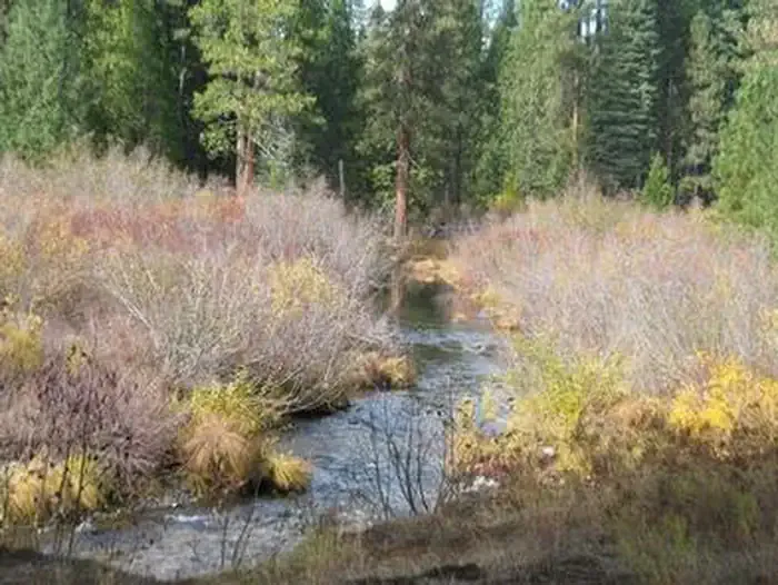
The Pilgrim-Harris trail is a challenging long-distance route covering 54.5 miles with nearly 3,000 feet of elevation gain. This extended journey traverses diverse California terrain, offering hikers an immersive wilderness experience across varied landscapes. The substantial distance and cumulative elevation make this a serious undertaking best suited for experienced backpackers and trail runners.
Military
~0 min drive
Expert-level 23-mile backcountry trek with 6,228 ft elevation gain.
Middle Falls Main
~11 min drive
Quick waterfall viewing trail with minimal elevation gain.
Clear Creek
~12 min drive
Steep 4-mile foothill hike with 1,927 ft gain and creek views.
Cramer
~5 min drive
Moderate 9.7-mile mountain trail with 1,364 ft elevation gain.
Lower Falls Nature
~12 min drive
Easy waterfall walk with minimal elevation gain and scenic water features.
Green Butte
~19 min drive
Steady 4.13-mile climb to Green Butte with 1,798 ft elevation gain and summit views.
Suprise Lake
~8 min drive
Remote 18-mile alpine lake trek through California's high country.
Algoma Nature
~14 min drive
Easy 1-mile nature walk with minimal elevation gain.
Supernatural Singletrack
~23 min drive
Technical singletrack with punchy elevation gain and excellent trail flow.
Ash Crk Loop
~17 min drive
Moderate 7-mile loop with creek views and 1,281 ft elevation gain.