Clear Creek
- 4.2 mi
- round trip
- 1,751 ft
- climb
- 8,285 ft
- high point
- Out and back
- route
Is Clear Creek open right now?
Closure in the area
There's a closure order in Shasta-Trinity National Forest. It doesn't name Clear Creek, so check the source for the area it covers (2 listed).
Road Closure on Wild Mad Road
Agency closure covering Shasta-Trinity National Forest · Order 14-25-09 · USFS · Shasta-Trinity National Forest
Mud and Ash Creek Area and Road Closure
Agency closure covering Shasta-Trinity National Forest · Order 14-25-07 · USFS · Shasta-Trinity National Forest
Bailey Cove Road Closure Order
Agency alert covering Shasta-Trinity National Forest · Order 14-25-11 · USFS · Shasta-Trinity National Forest
Trout Creek Bridge Closure Order
Agency alert covering Shasta-Trinity National Forest · Order 14-26-02 · USFS · Shasta-Trinity National Forest
South Fork Suspension Bridge Closure
Agency alert covering Shasta-Trinity National Forest · Order 14-25-30 · USFS · Shasta-Trinity National Forest
As of · Source: USFS · Shasta-Trinity National Forest. Agencies don't list every closure — check before you go.
Clear Creek is a 4.2-mile out-and-back hike in California's Mt. Shasta Wilderness, part of the McCloud Ranger District of Shasta-Trinity National Forest. The nearest town is Signal Butte, about 6.7 miles away. The Forest Service manages the land, and the trail is natural-surface rather than developed. The route climbs about 1,751 feet one way from a low point of 6,516 feet to a high of 8,285 feet. It is rated moderate, and bikes are not allowed. For timing, summer and early fall are the most comfortable stretch. Typical averages from a nearby weather station put July and September highs in the mid-80s with lows in the 40s. Red Fir Ridge lies about 1.6 miles away and South Gate Trail about 2.3 miles. Panther Meadows Campground is roughly 3.9 miles off. Mount Shasta, a mountaineering objective, is about 6.2 miles away.
Keep exploring — more trails worth the drive
 Photo: davidwilson1949, CC BY 2.0 (via Flickr)
RED FIR RIDGE
~3 min drive
4.26-mile out-and-back trail in California with 1,269 ft elevation gain and loss.
Photo: davidwilson1949, CC BY 2.0 (via Flickr)South Gate Trail
~4 min drive
0.62-mile out-and-back trail in California with 312 ft elevation gain
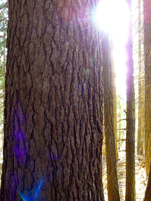 Photo: deanetr, CC BY 2.0 (via Flickr)
Muirs Ascension
~13 min drive
Moderate 6.37-mile climb with 1,503 ft elevation gain.
HIKE
SUPRISE LAKE
~10 min drive
18.28-mile out-and-back trail in California with 2,781 ft elevation gain
 Photo: Moo.The.Cow, CC BY 2.0 (via Flickr)
Green Butte
~7 min drive
Green Butte is a 4.13-mile out-and-back trail in California with 1,798 feet of elevation gain.
 Photo: Moo.The.Cow, CC BY 2.0 (via Flickr)
South Gate Meadows Trail (Stewart Trail)
~5 min drive
1.5-mile out-and-back hike in California with 688 ft gain
HIKE
Clear Creek Climbing Route (Stewart Trail)
~4 min drive
4.66-mile out-and-back climb in California with 5,223 ft gain/loss and 13,967 ft max elevation
HIKE
Hotlum Bolum Ridge
~13 min drive
11.84-mile out-and-back trail in California with 7,175 ft of elevation gain.
 Photo: wikiphotographer, CC BY-SA 2.0 (via Flickr)
Horse Camp Trail (Sisson's Trail) NO DOGS
~9 min drive
0.98-mile out-and-back trail in California with 684 ft gain and 7,895 ft max elevation.
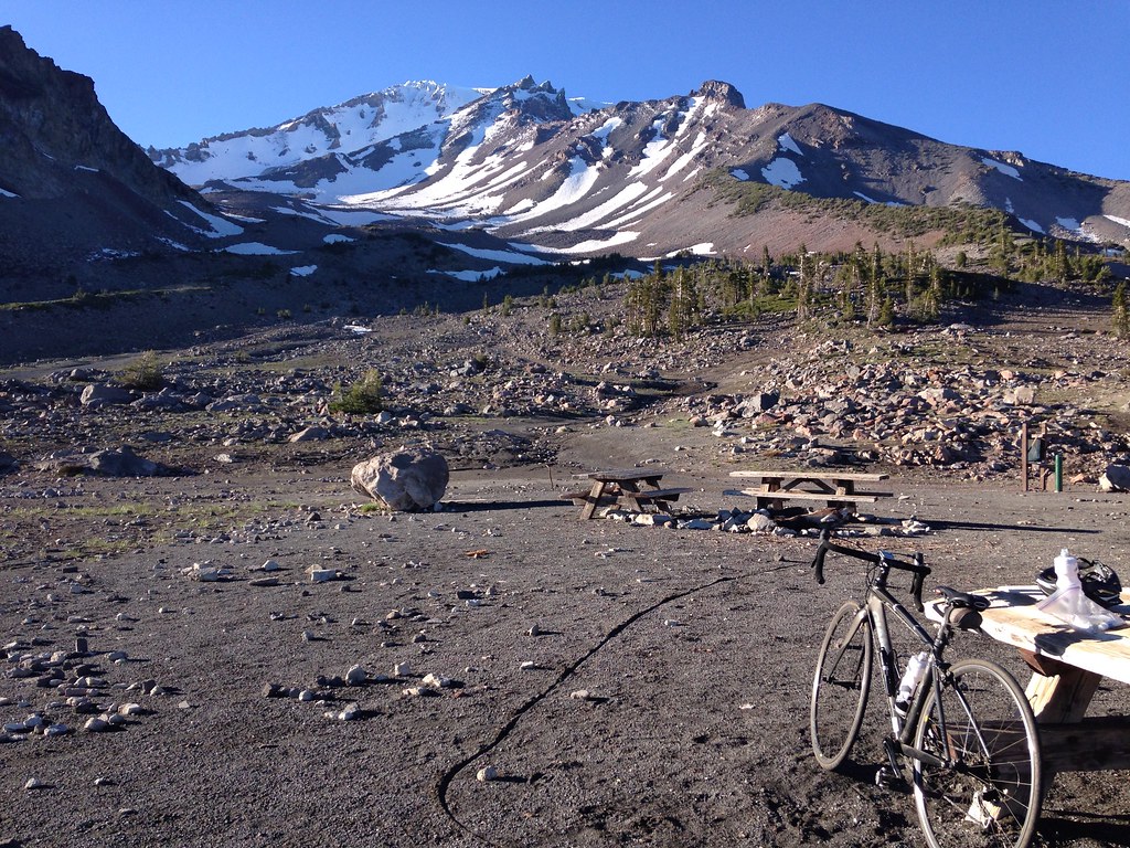 Photo: alexik, CC BY-SA 2.0 (via Flickr)
Gray Butte-The Gate Trail
~6 min drive
1.66-mile out-and-back hike in California with 651 ft elevation gain


