Loading…

Free — you'll pick up right here.
Watch this trail
Sign up to watch it — saving subscribes you to gate, closure and report changes.
California
11.2 mi
Distance
1,339 ft
Gain
We won't guess. Here is exactly what we do and don't know.
What we do know
Inside Lassen National Forest
2 managing-area boundaries mapped — agency alerts for them feed this page automatically.
Boundary data
What's missing
No access route mapped
We don't yet know which road reaches this trailhead, so we can't tell you if it's gated.
Nobody's filed a report here yet — be the first.
Why you'll love it
Parham's Point Trail
AI-suggested draft · review before you go
No permit or access details on file for this trail — check with the local land manager before you go.
Parham's Point Trail is an 11.19-mile moderate hike offering substantial elevation gain through California's diverse terrain. This trail rewards hikers with panoramic vistas and a sense of accomplishment, combining steady climbing with scenic viewpoints typical of the region's ridge and valley landscapes.
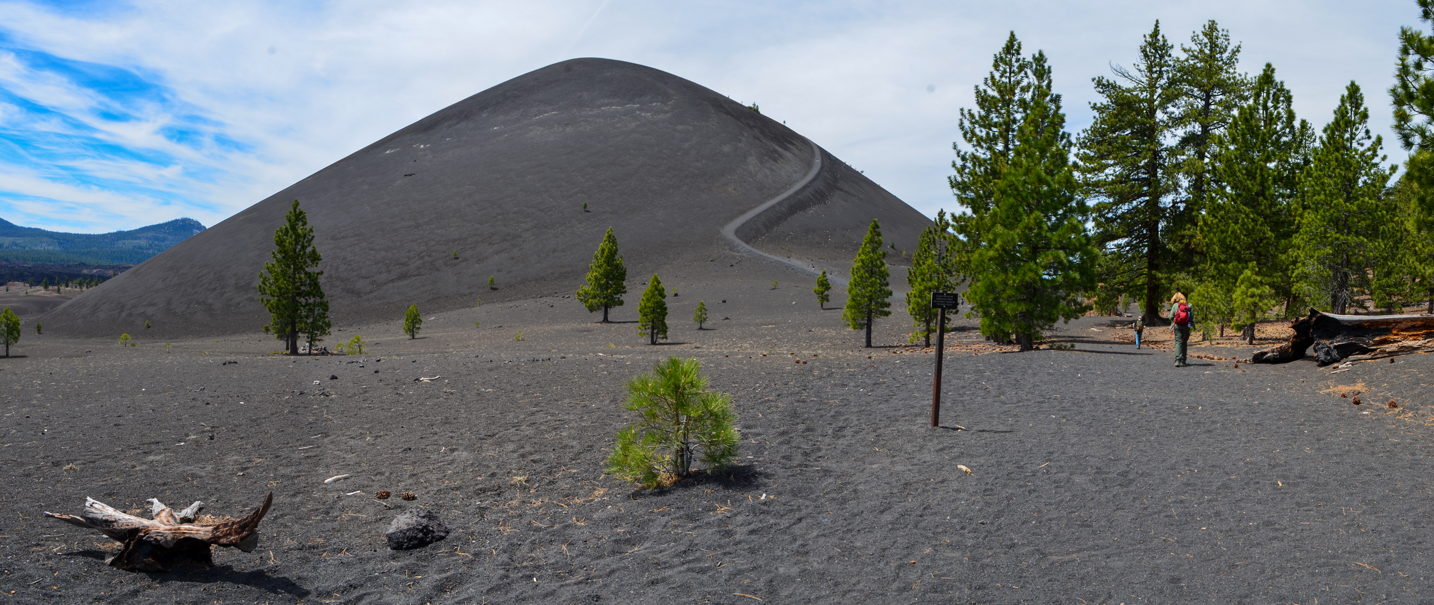
Cinder Cone Trail
~12 min drive
<figure> </figure> <p><strong>Start:</strong> Butte Lake parking area<br /> <strong>Round-Trip Distance to Base: </strong>2.4 miles<br /> <strong>Round Trip Distance to Summit:</strong> 4 miles<br /> <strong>Round-Trip Time: </strong>3 hours<br /> <strong>Elevation Change:</st…
Hat Creek Rim
~3 min drive
Moderate rim hike with volcanic plateau views and high-desert terrain.
Spattercone Crest Trail
~6 min drive
Short volcanic landscape hike with spatter cone views.
Triangle-Lvnp Caribou
~20 min drive
Easy 3.5-mile trail with minimal elevation gain in Triangle-Lvnp area.
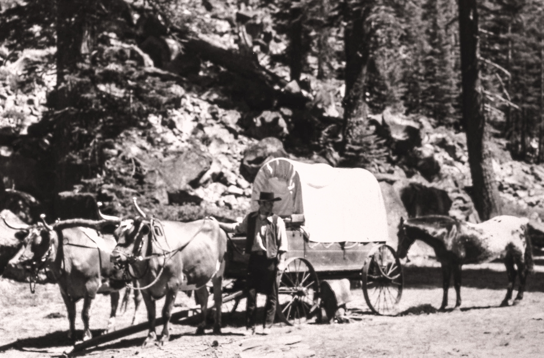
Sunflower Flat
~15 min drive
<p>A commemorative plaque marks the Nobles Emigrant Trail which was listed on the National Register of Historic Places in 1975. Twenty-four miles of the 300-mile-long wagon route skirt through the northern edge of the park. Most of the original route in the park remains intact…
Hat Creek Fisherman's Trail
~12 min drive
Moderate 8-mile creek-side trail through Hat Creek's scenic fishing corridor.
Subway Cave Interpretive Trail
~6 min drive
Easy 1.1-mile walk through a volcanic lava tube cave with interpretive features.
Emerald-Cypress Caribou
~25 min drive
Scenic 4.12-mile trail with 456 ft gain through California forest and meadow.
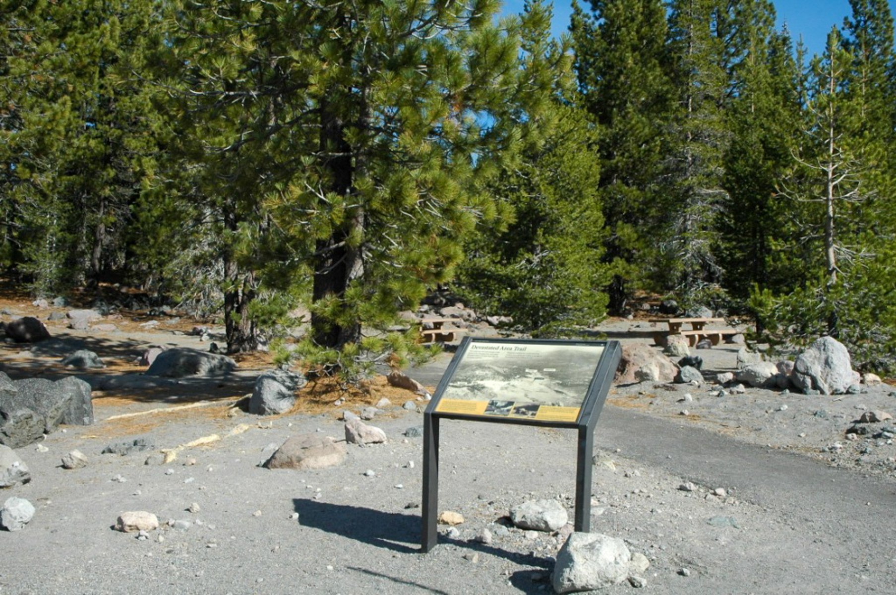
Devastated Area
~15 min drive
<p>Discover the story behind Lassen Peak's 1915-1916 eruption. Waysides along the half-mile accessible loop describe how the eastern slope of Lassen Peak came to be known as the Devastated Area. More than a hundred years later, forests cover much of this once barren area. Hist…
16 Road
~13 min drive
Nearly 20-mile backcountry route with steady elevation gain and remote scenery.