Packers Fish Loop
 Photo: james shaw, CC BY-SA 3.0 (via Wikimedia Commons)
- 1.4 mi
- round trip
- 30 ft
- climb
- 1,108 ft
- high point
- Out and back
- route
Is Packers Fish Loop open right now?
Closure in the area
There's a closure order in Shasta-Trinity National Forest. It doesn't name Packers Fish Loop, so check the source for the area it covers (2 listed).
Mud and Ash Creek Area and Road Closure
Agency closure covering Shasta-Trinity National Forest · Order 14-26-13 · USFS · Shasta-Trinity National Forest
Road Closure on Wild Mad Road
Agency closure covering Shasta-Trinity National Forest · Order 14-25-09 · USFS · Shasta-Trinity National Forest
Bailey Cove Road Closure Order
Agency alert covering Shasta-Trinity National Forest · Order 14-25-11 · USFS · Shasta-Trinity National Forest
Trout Creek Bridge Closure Order
Agency alert covering Shasta-Trinity National Forest · Order 14-26-02 · USFS · Shasta-Trinity National Forest
South Fork Suspension Bridge Closure
Agency alert covering Shasta-Trinity National Forest · Order 14-25-30 · USFS · Shasta-Trinity National Forest
As of · Source: USFS · Shasta-Trinity National Forest. Agencies don't list every closure — check before you go.
Packers Fish Loop is a short, easy hike in the Shasta Lake Ranger District of Shasta-Trinity National Forest in California, managed by the Forest Service. The trail is about 1.4 miles long and rises only about 30 feet from its low point of 1,067 feet to a high of 1,108 feet, making it a gentle out-and-back. The trail is natural-surfaced and allows bikes, so it works for hikers and riders alike. It stays open year-round, and the most comfortable stretch for a visit runs from late spring into early fall. Typical averages from the nearby Shasta Dam weather station show May highs around 79°F and October highs near 78°F, with July and August peaking in the mid-90s. Overlook Trail and Waters Gulch Trail both lie within a mile, and Bailey Cove Campground is about 2 miles away. For climbing, Mary Fork Boulders is roughly 7 miles off.
 Overlook TrailHikingPhoto: AB87, CC BY 3.0 (via Wikimedia Commons)0.5 mi
- Waters Gulch TrailHikingPhoto: AB87, CC BY 3.0 (via Wikimedia Commons)0.6 mi
- Bailey Cove Cg-FCamping2.1 mi
- Bailey CoveCamping3.6 mi
- Mary Fork BouldersRock climbing7.1 mi
- Creek SlabRock climbing7.1 mi
- Waydalmem CreekCanoeing7.7 mi
- Hirz BaySaltwater fishing7.8 mi
Source: Roamze catalog (indexable pages within 10 miles, PostGIS distance)
- Overlook TrailHiking · Next doorPhoto: AB87, CC BY 3.0 (via Wikimedia Commons)
- Bailey CoveHiking · ~4 min drivePhoto: AB87, CC BY 3.0 (via Wikimedia Commons)
- Top of the Hill TrailHiking · ~9 min drive
 Palatine TrailHiking · ~23 min drivePhoto: A Guy Named Nyal, CC BY-SA 2.0 (via Flickr)
- Waters Gulch TrailHiking · Next doorPhoto: AB87, CC BY 3.0 (via Wikimedia Commons)
- Upper Sacramento Ditch TrailHiking · ~12 min drive
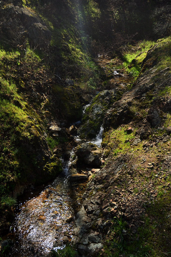 Salt Creek TrailHiking · ~24 min drivePhoto: Tom Hilton, CC BY 2.0 (via Flickr)
- Clikaputi Loop TrailHiking · ~12 min drive
- FB TrailHiking · ~19 min drive
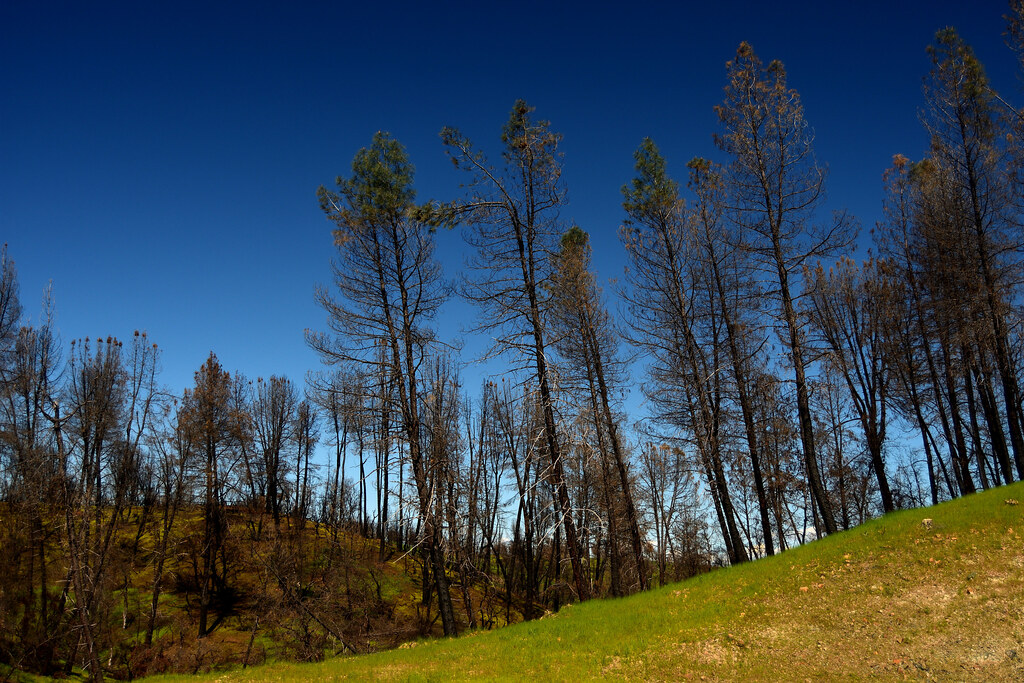 Salt Creek Heights TrailHiking · ~24 min drivePhoto: Tom Hilton, CC BY 2.0 (via Flickr)
