Loading…

Free — you'll pick up right here.
Watch this trail
Sign up to watch it — saving subscribes you to gate, closure and report changes.
California
5.1 mi
Distance
1,921 ft
Gain
We won't guess. Here is exactly what we do and don't know.
What we do know
Inside San Bernardino National Forest
3 managing-area boundaries mapped — agency alerts for them feed this page automatically.
Boundary data
What's missing
No access route mapped
We don't yet know which road reaches this trailhead, so we can't tell you if it's gated.
Nobody's filed a report here yet — be the first.
Why you'll love it
Ontario Peak Trail
AI-suggested draft · review before you go
No permit or access details on file for this trail — check with the local land manager before you go.
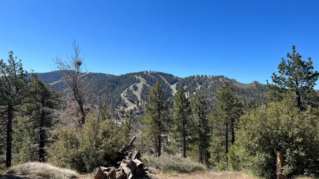
Ontario Peak Trail is a moderately challenging day hike that ascends over 1,900 feet through the San Gabriel Mountains, offering rewarding views of the surrounding peaks and valleys. The trail features a steady climb through chaparral and pine forest, with increasingly scenic vistas as you gain elevation. This popular route provides an excellent workout for intermediate hikers seeking alpine views without requiring technical climbing skills.
Icehouse Canyon Trail
~2 min drive
Steep canyon trail with significant elevation gain in the San Gabriel Mountains.
Telegraph Peak Trail
~2 min drive
Quick, steep summit climb with rewarding panoramic views.
Chapman Trail
~3 min drive
Steady 3.24-mile climb with 1,245 ft gain through California foothills.
Three T's
~3 min drive
Moderate 6.25-mile loop with 1,519 ft gain and scenic ridge views.
Cucamonga Peak - Non Wildernes
~5 min drive
Steep San Gabriel Mountains summit with big views in a compact distance.
Devils Backbone Trail
~4 min drive
Steep 5.4-mile ridge climb with 2,642 ft elevation gain and panoramic views.
Middlefork - Wilderness
~4 min drive
Steep wilderness climb with significant elevation gain and remote alpine scenery.
Stonehouse - Stonehouse Cut-Of
~5 min drive
Steep 1.6-mile connector with 1,010 ft gain—intense elevation challenge.
Baldy Bowl Trail
~6 min drive
Steep 3-mile climb with 2,275 ft gain in the San Gabriel Mountains.
Mt. Baldy Trail
~6 min drive
Steep 9.3-mile climb to Mt. Baldy's 10,064 ft summit with dramatic elevation gain.