Point Reyes National Seashore Campground
Campground
Campground · 1.3 mi from the trail
Closure in the area
There's a closure order in Point Reyes National Seashore. It doesn't name Olema Marsh Trail, so check the source for the area it covers (2 listed).
Road Closures and Advisories: Mt. Vision Road & Limantour Road
Park closure covering Point Reyes National Seashore · NPS · Point Reyes National Seashore
Delayed Openings: Bear Valley and Lighthouse Visitor Centers
Park closure covering Point Reyes National Seashore · NPS · Point Reyes National Seashore
Beach Hazards Statement and High Surf Warning in effect through 11/15
Park alert covering Point Reyes National Seashore · NPS · Point Reyes National Seashore
As of · Source: NPS · Point Reyes National Seashore. Agencies don't list every closure — check before you go.
Olema Marsh Trail is a short, easy hike in Point Reyes National Seashore, managed by the National Park Service. The trail is about a mile long, with a total climb of about 150 feet, and it makes a simple out-and-back from its low point of about 25 feet to a high of about 75 feet. The steepest stretch comes at about 0.86 miles in, with a grade of about 4 percent. Late spring and early fall are the most comfortable times to go. Typical averages from a nearby weather station show May highs around 72°F and October highs around 75°F, with only a few wet days in each month. Summer runs warmer, with typical highs near 81°F from July through September and almost no rain. Papermill Creek Trail is about 0.4 miles away, and Horse Trail and Z Ranch Trail are each within about a mile. For paddling, Lagunitas Creek is about 4 miles off.
Point Reyes National Seashore Campground
Campground
Point Reyes Roadhouse
Restaurant
Aviation museum in Sonoma, California
Places © OpenStreetMap contributors
More in TemelecNot on Roamze yet. Their page has how to reach them.
 Z Ranch TrailHikingPhoto: Jesse Wagstaff, CC BY 2.0 (via Flickr)1.1 mi
 Lagunitas CreekCanoeingPhoto: Stepheng3, Public domain (via Wikimedia Commons)4.1 mi
Source: Roamze catalog (indexable pages within 10 miles, PostGIS distance)
Z Ranch TrailHiking · ~2 min drivePhoto: Jesse Wagstaff, CC BY 2.0 (via Flickr)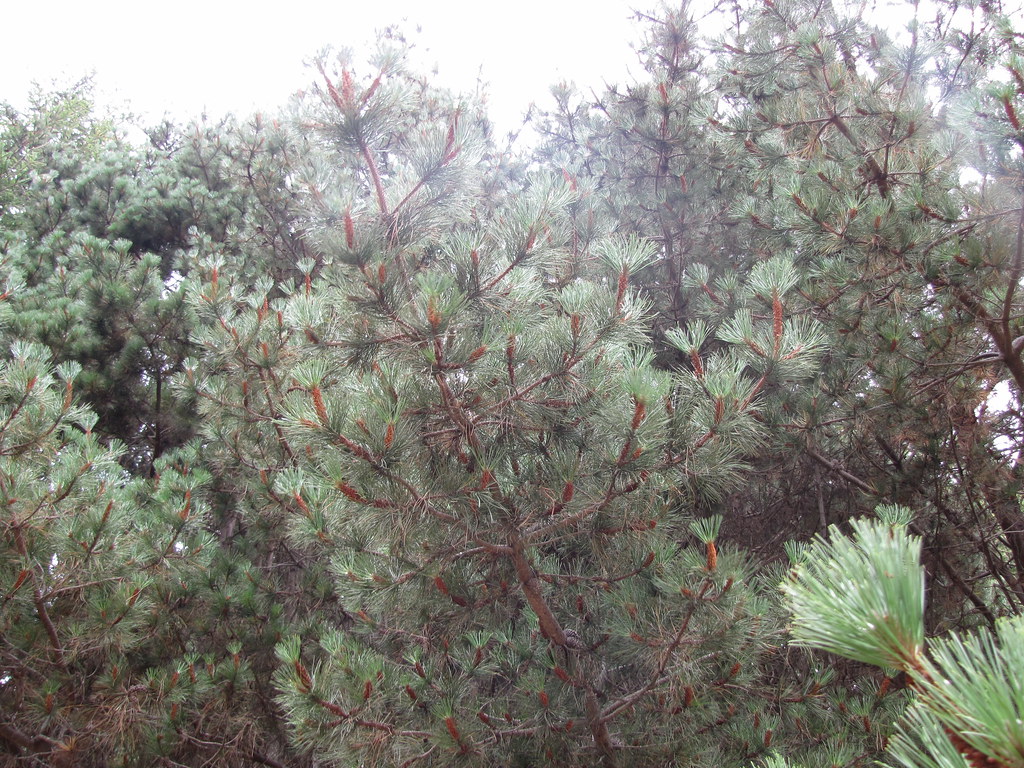 Sky TrailHiking · ~3 min drivePhoto: Buddha Dog, CC BY-SA 2.0 (via Flickr)
 Inverness Ridge TrailHiking · ~4 min drivePhoto: Jesse Wagstaff, CC BY 2.0 (via Flickr)
 Bolinas Ridge TrailHiking · ~6 min drivePhoto: lamblukas, CC BY 2.0 (via Flickr)Sky Campground LoopHiking · ~3 min drivePhoto: Jesse Wagstaff, CC BY 2.0 (via Flickr)Laguna TrailHiking · ~3 min drivePhoto: Buddha Dog, CC BY-SA 2.0 (via Flickr)
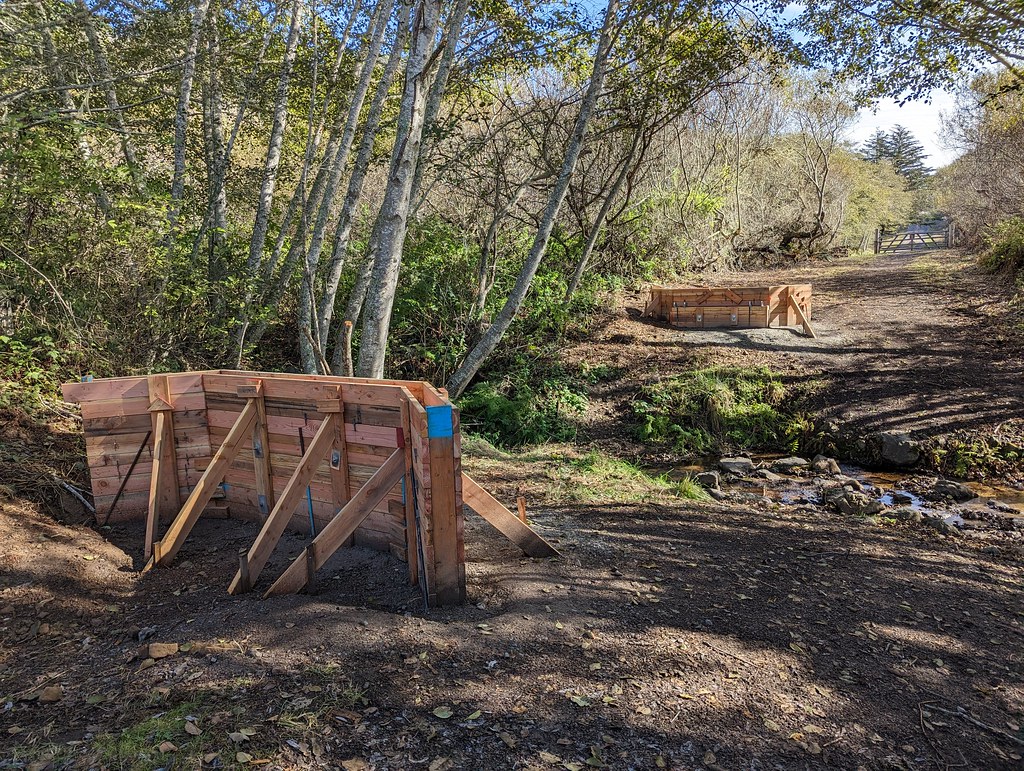 Estero TrailHiking · ~6 min drivePhoto: Jesse Wagstaff, CC BY 2.0 (via Flickr)
 Wittenberg SummitHiking · ~3 min drivePhoto: Jesse Wagstaff, CC BY 2.0 (via Flickr)
 Mount Wittenberg TrailHiking · ~3 min drivePhoto: MARELBU, CC BY 3.0 (via Wikimedia Commons)
 Coast TrailHiking · ~6 min drivePhoto: lamblukas, CC BY 2.0 (via Flickr)
Best months: Year-round. Best months have typical highs of 55–85 °F, lows of 30 °F or warmer (32 °F where the station doesn't record snow), at most one snowy day and no more than 12 wet days.
Jan
57° / 43°
12 wet
Feb
61° / 44°
11 wet
Mar
65° / 46°
10 wet
Apr
68° / 47°
6 wet
May
72° / 51°
3 wet
Jun
78° / 53°
1 wet
Jul
81° / 55°
0 wet
Aug
81° / 56°
0 wet
Sep
81° / 54°
1 wet
Oct
75° / 51°
4 wet
Nov
65° / 46°
8 wet
Dec
57° / 42°
11 wet
Typical high / low (°F) and days with rain or snow, 1991–2020. Measured at San Rafael Civic Ctr, CA, 15.5 mi away at 120 ft. Source: NOAA NCEI U.S. Climate Normals 1991–2020.
Map and trail data © OpenStreetMap contributors
