Sky Campground
Campground
Campground · 1.1 mi from the trail
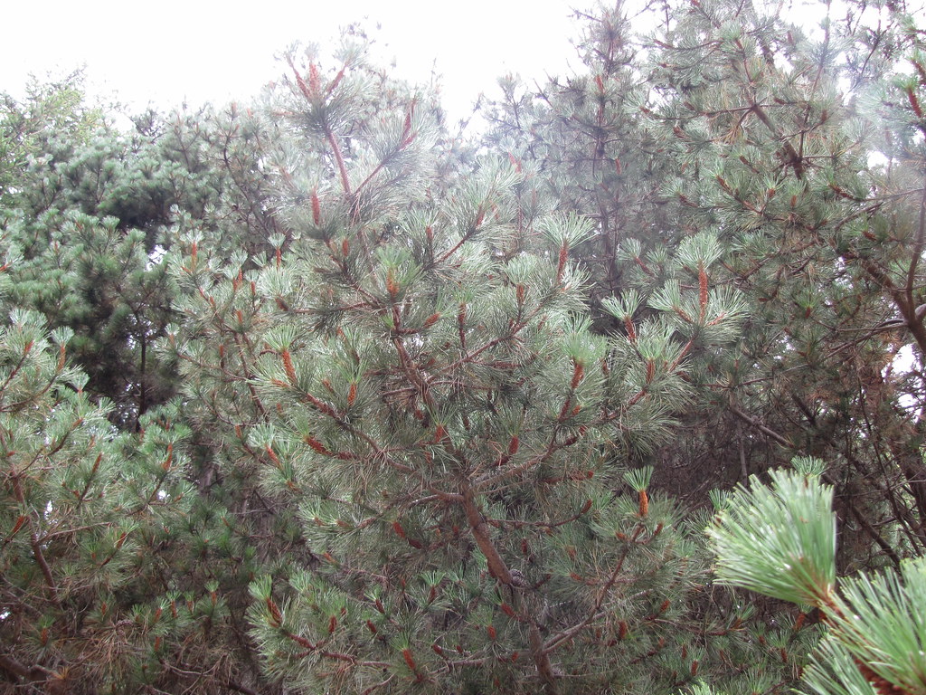 Photo: Buddha Dog, CC BY-SA 2.0 (via Flickr)
Alert in the area
The National Park Service lists an alert for Point Reyes National Seashore.
Beach Hazards Statement and High Surf Warning in effect through 11/15
Park alert covering Point Reyes National Seashore · NPS · Point Reyes National Seashore
As of · Source: NPS · Point Reyes National Seashore. Agencies don't list every closure — check before you go.
Sky Trail is a moderate out-and-back hike in Point Reyes National Seashore, managed by the National Park Service in California. The trail is about 2.7 miles long, with a total elevation gain of 1,625 feet, and it starts at Sky Trailhead. The route rises from 704 feet to a high point of 1,179 feet before returning to the trailhead, and the steepest stretch comes at about 0.63 miles in, with a grade of 19 percent. Late spring and early fall are the most comfortable times to go. Typical averages from a nearby weather station in Occidental show May highs around 70°F and September highs around 77°F, with only a few wet days in each month. Winter is cooler and wetter, with highs in the mid-50s and about 13 wet days a month from December through January. The trail sits close to several other routes. Laguna Trail is about 0.4 miles away, Bayview Trail about 0.7 miles, and Z Ranch Trail about 0.9 miles. Wittenberg Summit lies roughly 1.4 miles off.
Sky Campground
Campground
Point Reyes Roadhouse
Restaurant
Aviation museum in Sonoma, California
Places © OpenStreetMap contributors
More in TemelecNot on Roamze yet. Their page has how to reach them.
Laguna TrailHikingPhoto: Buddha Dog, CC BY-SA 2.0 (via Flickr)0.4 mi Bayview TrailHikingPhoto: Buddha Dog, CC BY-SA 2.0 (via Flickr)0.7 mi
 Z Ranch TrailHikingPhoto: Jesse Wagstaff, CC BY 2.0 (via Flickr)0.9 mi
 Wittenberg SummitHikingPhoto: Jesse Wagstaff, CC BY 2.0 (via Flickr)1.4 mi
 Lagunitas CreekCanoeingPhoto: Stepheng3, Public domain (via Wikimedia Commons)5.4 mi
Source: Roamze catalog (indexable pages within 10 miles, PostGIS distance)
Laguna TrailHiking · Next doorPhoto: Buddha Dog, CC BY-SA 2.0 (via Flickr)Z Ranch TrailHiking · ~1 min drivePhoto: Jesse Wagstaff, CC BY 2.0 (via Flickr) Inverness Ridge TrailHiking · ~3 min drivePhoto: Jesse Wagstaff, CC BY 2.0 (via Flickr)Bayview TrailHiking · ~1 min drivePhoto: Buddha Dog, CC BY-SA 2.0 (via Flickr)Sky Campground LoopHiking · ~2 min drivePhoto: Jesse Wagstaff, CC BY 2.0 (via Flickr)
 Estero TrailHiking · ~4 min drivePhoto: Jesse Wagstaff, CC BY 2.0 (via Flickr)
 Drakes View TrailHiking · ~3 min drivePhoto: Buddha Dog, CC BY-SA 2.0 (via Flickr)Wittenberg SummitHiking · ~2 min drivePhoto: Jesse Wagstaff, CC BY 2.0 (via Flickr)
 Coast TrailHiking · ~5 min drivePhoto: lamblukas, CC BY 2.0 (via Flickr)
 Mount Wittenberg TrailHiking · ~3 min drivePhoto: MARELBU, CC BY 3.0 (via Wikimedia Commons)
Best months: February–November. Best months have typical highs of 55–85 °F, lows of 30 °F or warmer (32 °F where the station doesn't record snow), at most one snowy day and no more than 12 wet days.
Jan
56° / 42°
13 wet
Feb
58° / 43°
12 wet
Mar
61° / 44°
12 wet
Apr
66° / 45°
7 wet
May
70° / 48°
5 wet
Jun
76° / 51°
2 wet
Jul
78° / 52°
1 wet
Aug
78° / 53°
1 wet
Sep
77° / 53°
2 wet
Oct
73° / 52°
4 wet
Nov
62° / 46°
9 wet
Dec
55° / 41°
13 wet
Typical high / low (°F) and days with rain or snow, 1991–2020. Measured at Occidental, CA, 23.9 mi away at 865 ft. This station doesn't record snowfall. Source: NOAA NCEI U.S. Climate Normals 1991–2020.
Map and trail data © OpenStreetMap contributors
