Sky Campground
Campground
Campground · 1.5 mi from the trail
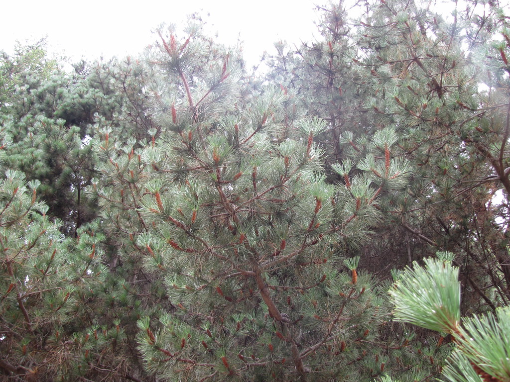 Photo: Buddha Dog, CC BY-SA 2.0 (via Flickr)
Alert in the area
The National Park Service lists an alert for Point Reyes National Seashore.
Beach Hazards Statement and High Surf Warning in effect through 11/15
Park alert covering Point Reyes National Seashore · NPS · Point Reyes National Seashore
As of · Source: NPS · Point Reyes National Seashore. Agencies don't list every closure — check before you go.
Laguna Trail is a 4.4-mile out-and-back hike in Point Reyes National Seashore, within the Phillip Burton Wilderness in California. The National Park Service manages the land, and the trail starts at 776 feet, rising to a high point of 776 feet before descending back to the same level. That makes the total elevation gain and loss each about 1,200 feet, with the steepest stretch at about 0.9 miles in, where the grade reaches 20%. The trail is rated moderate, and the climb is rolling rather than a single steep push. The most comfortable time to go is late spring or early fall. Typical averages from a nearby weather station in San Rafael show May highs around 72°F and October highs around 75°F, with only a few wet days in each. That station sits well below the trail, so temperatures on the route run cooler. The trip takes about two hours. The Bayview Trail and Sky Trail both start within half a mile, and Drakes View Trail is about a mile away. For paddling, Lagunitas Creek is roughly 6 miles off.
Sky Campground
Campground
Aviation museum in Sonoma, California
Places © OpenStreetMap contributors
More in TemelecNot on Roamze yet. Their page has how to reach them.
 Bayview TrailHikingPhoto: Buddha Dog, CC BY-SA 2.0 (via Flickr)0.3 miSky TrailHikingPhoto: Buddha Dog, CC BY-SA 2.0 (via Flickr)0.4 mi
 Drakes View TrailHikingPhoto: Buddha Dog, CC BY-SA 2.0 (via Flickr)1.1 mi
 Z Ranch TrailHikingPhoto: Jesse Wagstaff, CC BY 2.0 (via Flickr)1.3 mi
 Inverness Ridge TrailHikingPhoto: Jesse Wagstaff, CC BY 2.0 (via Flickr)1.3 mi
 Lagunitas CreekCanoeingPhoto: Stepheng3, Public domain (via Wikimedia Commons)5.8 mi
Source: Roamze catalog (indexable pages within 10 miles, PostGIS distance)
Bayview TrailHiking · Next doorPhoto: Buddha Dog, CC BY-SA 2.0 (via Flickr)Z Ranch TrailHiking · ~2 min drivePhoto: Jesse Wagstaff, CC BY 2.0 (via Flickr)Inverness Ridge TrailHiking · ~2 min drivePhoto: Jesse Wagstaff, CC BY 2.0 (via Flickr)Sky TrailHiking · Next doorPhoto: Buddha Dog, CC BY-SA 2.0 (via Flickr)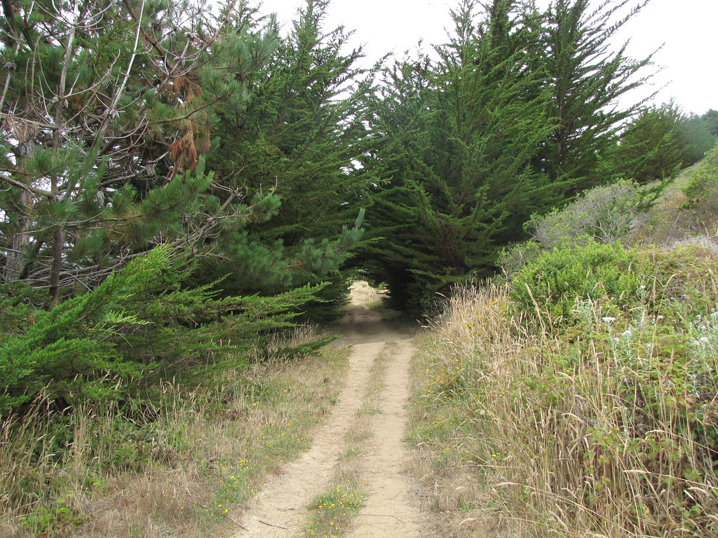 Muddy Hollow Road TrailHiking · ~3 min drivePhoto: Buddha Dog, CC BY-SA 2.0 (via Flickr)
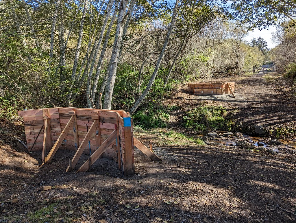 Estero TrailHiking · ~3 min drivePhoto: Jesse Wagstaff, CC BY 2.0 (via Flickr)Drakes View TrailHiking · ~2 min drivePhoto: Buddha Dog, CC BY-SA 2.0 (via Flickr)Sky Campground LoopHiking · ~3 min drivePhoto: Jesse Wagstaff, CC BY 2.0 (via Flickr)
 Coast TrailHiking · ~5 min drivePhoto: lamblukas, CC BY 2.0 (via Flickr)Bayview TrailHiking · ~3 min drivePhoto: Buddha Dog, CC BY-SA 2.0 (via Flickr)
Best months: Year-round. Best months have typical highs of 55–85 °F, lows of 30 °F or warmer (32 °F where the station doesn't record snow), at most one snowy day and no more than 12 wet days.
Jan
57° / 43°
12 wet
Feb
61° / 44°
11 wet
Mar
65° / 46°
10 wet
Apr
68° / 47°
6 wet
May
72° / 51°
3 wet
Jun
78° / 53°
1 wet
Jul
81° / 55°
0 wet
Aug
81° / 56°
0 wet
Sep
81° / 54°
1 wet
Oct
75° / 51°
4 wet
Nov
65° / 46°
8 wet
Dec
57° / 42°
11 wet
Typical high / low (°F) and days with rain or snow, 1991–2020. Measured at San Rafael Civic Ctr, CA, 17.3 mi away at 120 ft. The station sits about 700 ft lower than this place, so expect it a little cooler here. Source: NOAA NCEI U.S. Climate Normals 1991–2020.
Map and trail data © OpenStreetMap contributors
