Old Stage Trail
- 3.3 mi
- round trip
- 1,287 ft
- climb
- 1,476 ft
- high point
- Out and back
- route
- Oct–Jun
- best months
Clear at last check
Weather is good · OpenWeather · checked 23 h ago
Old Stage Trail is a moderate out-and-back hike of about 6.7 miles on Bureau of Land Management land in California's Mother Lode Field Office. It rises from a starting elevation of 1,325 feet to a high point of 1,476 feet, with a total elevation gain of 1,287 feet over the course of the round trip. The trail's steady climb reaches its steepest stretch at about 1.2 miles in, where the grade peaks at 13%. The most comfortable time to go is late spring or early fall. Typical averages from a nearby weather station in Sonora put May highs around 76°F and October highs around 76°F, with only about four wet days in each month. Summer is hot, with July and August highs typically in the low 90s. The trail takes about three hours to complete. Six Bit Trail lies half a mile away, and Overlook Loop Trail is about 2.7 miles off. For climbing, Welcome Wall is roughly 7.8 miles away, and Sullivan Creek offers canoeing at about 9.1 miles.
- Six Bit TrailHiking0.5 mi
- Soaproot Ridge TrailMountain biking2.1 mi
- Soaprood Ridge TrailMountain biking2.3 mi
 Overlook Loop TrailHikingPhoto: Adam Schultz, CC BY 3.0 (via Wikimedia Commons)2.7 mi
- Welcome WallRock climbing7.8 mi
 Fort ApacheRock climbingPhoto: jfdervin, CC BY-SA 2.0 (via Flickr)7.8 mi
- The GrottoRock climbingPhoto: jfdervin, CC BY-SA 2.0 (via Flickr)7.8 mi
- Sullivan CreekCanoeing9.1 mi
Source: Roamze catalog (indexable pages within 10 miles, PostGIS distance)
- Soaproot Ridge TrailHiking · ~4 min drivePhoto: Adam Schultz, CC BY 3.0 (via Wikimedia Commons)
- Old Stage TrailHiking · ~4 min drivePhoto: Adam Schultz, CC BY 3.0 (via Wikimedia Commons)
 Carson Creek TrailHiking · ~25 min drivePhoto: cogdogblog, CC BY 2.0 (via Flickr)
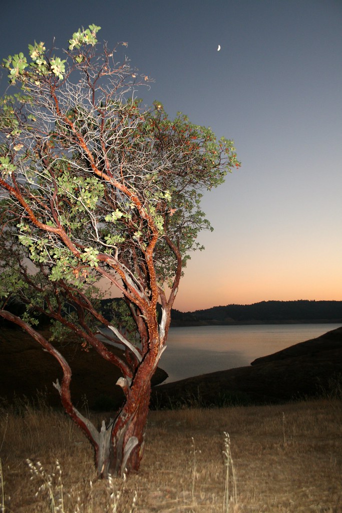 Heron Point TrailHiking · ~22 min drivePhoto: Genista, CC BY-SA 2.0 (via Flickr)
- Overlook Loop TrailHiking · ~5 min drivePhoto: Adam Schultz, CC BY 3.0 (via Wikimedia Commons)
 Elliots CabinHiking · ~33 min drivePhoto: Northwest Rafting Company, CC BY 2.0 (via Flickr)
 Golden Forest Interp. TrailHiking · ~30 min drivePhoto: stevelyon, CC BY-SA 2.0 (via Flickr)
 Jeff's Walk of ShameHiking · ~17 min drivePhoto: MarkDoliner, CC BY-SA 2.0 (via Flickr)
 Tuolumne CanyonHiking · ~34 min drivePhoto: Nerds For Nature, CC BY-SA 2.0 (via Flickr)
- Summit TrailHiking · ~21 min drive
Best time to visit Old Stage Trail
Best months: October–June. Best months have typical highs of 55–85 °F, lows of 30 °F or warmer (32 °F where the station doesn't record snow), at most one snowy day and no more than 12 wet days.
Jan
56° / 33°
10 wet
Feb
58° / 34°
10 wet
Mar
62° / 37°
10 wet
Apr
67° / 40°
6 wet
May
76° / 45°
4 wet
Jun
85° / 51°
1 wet
Jul
93° / 57°
0 wet
Aug
92° / 56°
0 wet
Sep
87° / 51°
1 wet
Oct
76° / 43°
4 wet
Nov
63° / 36°
7 wet
Dec
55° / 32°
10 wet
Typical high / low (°F) and days with rain or snow, 1991–2020. Measured at Sonora, CA, 10.6 mi away at 1,675 ft. Source: NOAA NCEI U.S. Climate Normals 1991–2020.
Map and trail data © OpenStreetMap contributors
