Murphy Trail
 Photo: vonguard, CC BY-SA 2.0 (via Flickr)
- 0.4 mi
- round trip
- 130 ft
- climb
- 66 ft
- high point
- Out and back
- route
- Jan–Dec
- best months
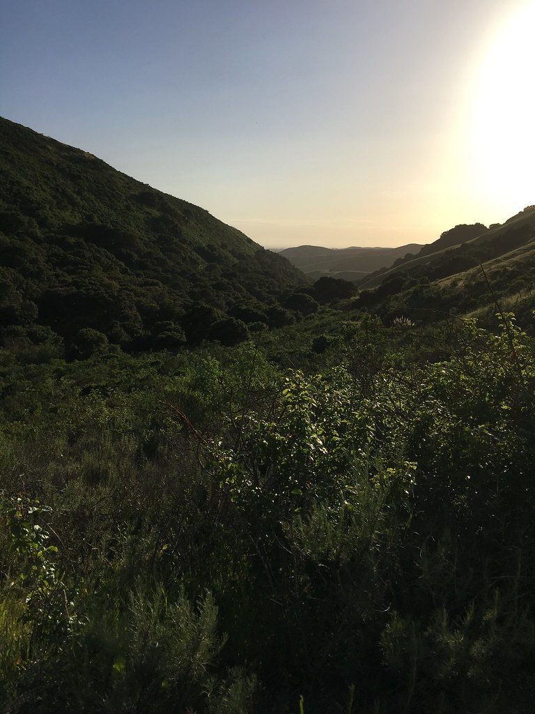
Murphy Trail is a short, easy out-and-back hike in California, about a mile from the town of Elkhorn. The route is just over 0.8 miles long and rises about 130 feet from its low point of 18 feet to a high point of 66 feet, which makes it a gentle walk that fits easily into a longer day on foot in the area. The trail's climb is front-loaded, with the steepest stretch at about 0.23 miles, reaching a grade of 4 percent. It's a quick trip, with an estimated time of about half an hour. The trail's short length and low elevation make it a natural pairing with other nearby routes. For more time on foot, the Long Valley Loop Trail and the Five Fingers Loop Trail both lie within a third of a mile, and the South Marsh Loop Trail is about 0.6 miles away. The Pajaro River, roughly 6 miles off, offers paddling for a change of pace.
 Long Valley Loop TrailHikingPhoto: vonguard, CC BY-SA 2.0 (via Flickr)0.2 mi
- Five Fingers Loop TrailHiking0.3 mi
- South Marsh Loop TrailHiking0.6 mi
- Pajaro RiverCanoeing5.9 mi
 Salinas NWR TrailHikingPhoto: donjd2, CC BY 2.0 (via Flickr)6.4 mi
- Wetland Connector TrailHiking6.7 mi
- South CampCamping7.2 mi
 Juan Bautista De Anza National Historic TrailHikingPhoto: aballant38, CC BY 2.0 (via Flickr)9.5 mi
Source: Roamze catalog (indexable pages within 10 miles, PostGIS distance)
- Long Valley Loop TrailHiking · Next doorPhoto: vonguard, CC BY-SA 2.0 (via Flickr)
- Juan Bautista De Anza National Historic TrailHiking · ~16 min drivePhoto: aballant38, CC BY 2.0 (via Flickr)
 Bayview TrailHiking · ~22 min drivePhoto: vonguard, CC BY-SA 2.0 (via Flickr)
- Salinas NWR TrailHiking · ~11 min drivePhoto: donjd2, CC BY 2.0 (via Flickr)
 Cold Spring TrailHiking · ~23 min drivePhoto: Vadim Manuylov, CC BY-SA 3.0 (via Wikimedia Commons)
- Giant Twins TrailHiking · ~22 min drivePhoto: vonguard, CC BY-SA 2.0 (via Flickr)
 Camp TrailHiking · ~23 min drivePhoto: H. Michael Miley, CC BY-SA 2.0 (via Flickr)
- Blackhawk TrailHiking · ~23 min drivePhoto: H. Michael Miley, CC BY-SA 2.0 (via Flickr)
- Sprig TrailHiking · ~23 min drive
 Valley View TrailHiking · ~23 min drivePhoto: Vadim Manuylov, CC BY-SA 3.0 (via Wikimedia Commons)
Best time to visit Murphy Trail
Best months: Year-round. Best months have typical highs of 55–85 °F, lows of 30 °F or warmer (32 °F where the station doesn't record snow), at most one snowy day and no more than 12 wet days.
Jan
62° / 40°
11 wet
Feb
63° / 42°
11 wet
Mar
65° / 43°
10 wet
Apr
68° / 45°
6 wet
May
69° / 49°
3 wet
Jun
71° / 52°
1 wet
Jul
71° / 54°
1 wet
Aug
72° / 55°
1 wet
Sep
74° / 53°
1 wet
Oct
74° / 49°
3 wet
Nov
68° / 43°
7 wet
Dec
62° / 39°
10 wet
Typical high / low (°F) and days with rain or snow, 1991–2020. Measured at Watsonville Wtr Wks, CA, 8.4 mi away at 95 ft. Source: NOAA NCEI U.S. Climate Normals 1991–2020.

Map and trail data © OpenStreetMap contributors
