Mission Farm Campground
Campground
Campground · 3.1 mi from the trail
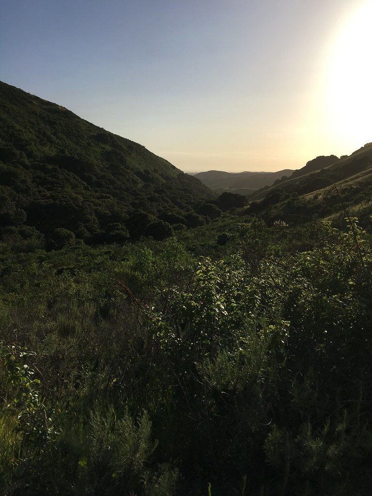 Photo: aballant38, CC BY 2.0 (via Flickr)
Clear at last check
Weather is good · OpenWeather · checked 12 h ago
The Juan Bautista De Anza National Historic Trail is a 7.8-mile out-and-back hike in California, about 3 miles from the town of San Juan Bautista. The route rises steadily from a low point of 260 feet to a high of 1,145 feet, with a total climb of 2,545 feet over the round trip. The steepest stretch comes at about 1.2 miles in, where the grade reaches 18 percent, and the trail is rated hard. Spring and fall are the most comfortable times to go. Typical averages from a nearby weather station show May highs around 76°F and October highs around 76°F, while July and August average about 86°F. Several other trails sit within a few miles, including Valley View Trail and Cold Spring Trail, both about 4.5 miles away, and Troll Trail at roughly 5.8 miles. Carnadero Creek, a paddling spot, is about 9 miles off.
Mission Farm Campground
Campground
Inaka Japanese Restaurant
Restaurant
 If it rainsIntranila, CC BY-SA 3.0 · Wikimedia Commons
Castro-Breen Adobe
Museum
Places © OpenStreetMap contributors · Photos: Intranila, CC BY-SA 3.0 (commons)
More in Gonzales Valley View TrailHikingPhoto: Vadim Manuylov, CC BY-SA 3.0 (via Wikimedia Commons)4.5 mi
 Cold Spring TrailHikingPhoto: Vadim Manuylov, CC BY-SA 3.0 (via Wikimedia Commons)4.6 mi
Source: Roamze catalog (indexable pages within 10 miles, PostGIS distance)
Valley View TrailHiking · ~8 min drivePhoto: Vadim Manuylov, CC BY-SA 3.0 (via Wikimedia Commons)Cold Spring TrailHiking · ~8 min drivePhoto: Vadim Manuylov, CC BY-SA 3.0 (via Wikimedia Commons) Murphy TrailHiking · ~16 min drivePhoto: vonguard, CC BY-SA 2.0 (via Flickr)
 Long Valley Loop TrailHiking · ~16 min drivePhoto: vonguard, CC BY-SA 2.0 (via Flickr)
 Salinas NWR TrailHiking · ~24 min drivePhoto: donjd2, CC BY 2.0 (via Flickr)
Best months: September–June. Best months have typical highs of 55–85 °F, lows of 30 °F or warmer (32 °F where the station doesn't record snow), at most one snowy day and no more than 12 wet days.
Jan
59° / 34°
Feb
61° / 36°
Mar
64° / 37°
Apr
69° / 39°
May
76° / 43°
Jun
83° / 46°
Jul
86° / 49°
Aug
86° / 49°
Sep
83° / 47°
Oct
76° / 40°
Nov
66° / 36°
Dec
58° / 33°
Typical high / low (°F) and days with rain or snow, 1991–2020. Measured at Paicines 4 W, CA, 13.3 mi away at 905 ft. This station doesn't record snowfall. Source: NOAA NCEI U.S. Climate Normals 1991–2020.
Map and trail data © OpenStreetMap contributors

