Five Fingers Loop Trail
- 1.0 mi
- loop
- 223 ft
- climb
- 109 ft
- high point
- Loop
- route
- Jan–Dec
- best months
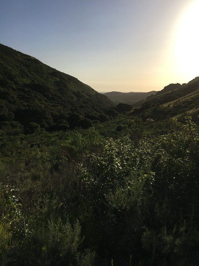
The Five Fingers Loop Trail is a short, easy hike of about a mile in Elkhorn Slough Ecological Reserve in California, managed by State Fish and Wildlife. The trail rises from a low point of about 23 feet to a high of about 109 feet, with a total elevation gain of 223 feet. The climb is gentle, with the steepest stretch at about 4% grade near the start. Late summer and early fall are the most comfortable times to go. Typical averages from a nearby weather station in Watsonville show highs around 74°F in September and October, with only a day or two of rain each month. Winter brings highs in the low 60s and about 10 to 11 wet days a month. The trail makes an easy pairing with other short loops in the reserve. Long Valley Loop Trail is about 0.2 miles away and South Marsh Loop Trail about 0.3 miles. Paddlers can reach the Pajaro River about 5.6 miles off, and South Camp offers camping about 6.9 miles away.
 Long Valley Loop TrailHikingPhoto: vonguard, CC BY-SA 2.0 (via Flickr)0.2 mi
- South Marsh Loop TrailHiking0.3 mi
 Murphy TrailHikingPhoto: vonguard, CC BY-SA 2.0 (via Flickr)0.3 mi
- Pajaro RiverCanoeing5.6 mi
- Wetland Connector TrailHiking6.4 mi
 Salinas NWR TrailHikingPhoto: donjd2, CC BY 2.0 (via Flickr)6.6 mi
- South CampCamping6.9 mi
 Juan Bautista De Anza National Historic TrailHikingPhoto: aballant38, CC BY 2.0 (via Flickr)9.7 mi
Source: Roamze catalog (indexable pages within 10 miles, PostGIS distance)
- Long Valley Loop TrailHiking · Next doorPhoto: vonguard, CC BY-SA 2.0 (via Flickr)
- Juan Bautista De Anza National Historic TrailHiking · ~17 min drivePhoto: aballant38, CC BY 2.0 (via Flickr)
 Bayview TrailHiking · ~22 min drivePhoto: vonguard, CC BY-SA 2.0 (via Flickr)
- Murphy TrailHiking · Next doorPhoto: vonguard, CC BY-SA 2.0 (via Flickr)
 Camp TrailHiking · ~23 min drivePhoto: H. Michael Miley, CC BY-SA 2.0 (via Flickr)
- Salinas NWR TrailHiking · ~11 min drivePhoto: donjd2, CC BY 2.0 (via Flickr)
 Cold Spring TrailHiking · ~23 min drivePhoto: Vadim Manuylov, CC BY-SA 3.0 (via Wikimedia Commons)
- Giant Twins TrailHiking · ~22 min drivePhoto: vonguard, CC BY-SA 2.0 (via Flickr)
 Byrne TrailHiking · ~25 min drivePhoto: fogcat5, CC BY-SA 2.0 (via Flickr)
- Blackhawk TrailHiking · ~22 min drivePhoto: H. Michael Miley, CC BY-SA 2.0 (via Flickr)
Best time to visit Five Fingers Loop Trail
Best months: Year-round. Best months have typical highs of 55–85 °F, lows of 30 °F or warmer (32 °F where the station doesn't record snow), at most one snowy day and no more than 12 wet days.
Jan
62° / 40°
11 wet
Feb
63° / 42°
11 wet
Mar
65° / 43°
10 wet
Apr
68° / 45°
6 wet
May
69° / 49°
3 wet
Jun
71° / 52°
1 wet
Jul
71° / 54°
1 wet
Aug
72° / 55°
1 wet
Sep
74° / 53°
1 wet
Oct
74° / 49°
3 wet
Nov
68° / 43°
7 wet
Dec
62° / 39°
10 wet
Typical high / low (°F) and days with rain or snow, 1991–2020. Measured at Watsonville Wtr Wks, CA, 8 mi away at 95 ft. Source: NOAA NCEI U.S. Climate Normals 1991–2020.

Map and trail data © OpenStreetMap contributors
