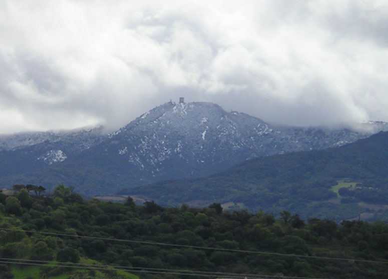
Mount Umunhum Trail
 Photo: czarcats, CC BY 2.0 (via Flickr)
- 0.4 mi
- round trip
- 291 ft
- climb
- 2,461 ft
- high point
- Out and back
- route
Mount Umunhum Trail is a short, easy hike in the Sierra Azul Open Space Preserve in California, on land managed by a regional agency. The trail is about 0.36 miles from the preserve's starting point, and the round trip covers roughly 0.72 miles with a total elevation gain of about 291 feet. The route is an out-and-back that starts and ends at about 2,461 feet. It rises to a high point of about 2,461 feet and drops back to about 2,302 feet, with the steepest stretch at about 0.18 miles in, where the grade reaches about 7%. The climb is rolling rather than steep, and the trail is rated easy. Bald Mountain Trail lies about 0.4 miles away. Lower Guadalupe Rock, a climbing area, is about 2.1 miles off, and Mine Hill Trail and the Providencia Trail are both within about 2.3 miles.
- Bald Mountain TrailHiking0.4 mi
- Lower Guadalupe RockRock climbing2.1 mi
- Mine Hill TrailHiking2.2 mi
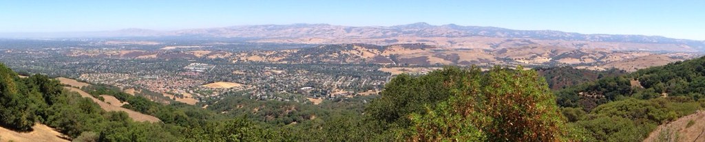 Providencia TrailHikingPhoto: regexman, CC BY 2.0 (via Flickr)2.3 mi
- Roadside RockRock climbing2.6 mi
- Hicks RoadRock climbing2.7 mi
- Soquel CreekCanoeing7.5 mi
- Zayante CreekCanoeing9.5 mi
Source: Roamze catalog (indexable pages within 10 miles, PostGIS distance)
- Mount Umunhum TrailHiking · Next doorPhoto: czarcats, CC BY 2.0 (via Flickr)
 Mount Umunhum TrailHiking · ~2 min drivePhoto: czarcats, CC BY 2.0 (via Flickr)
- Providencia TrailHiking · ~4 min drivePhoto: regexman, CC BY 2.0 (via Flickr)
 Woods TrailHiking · ~5 min drivePhoto: ilya_ktsn, CC BY 2.0 (via Flickr)
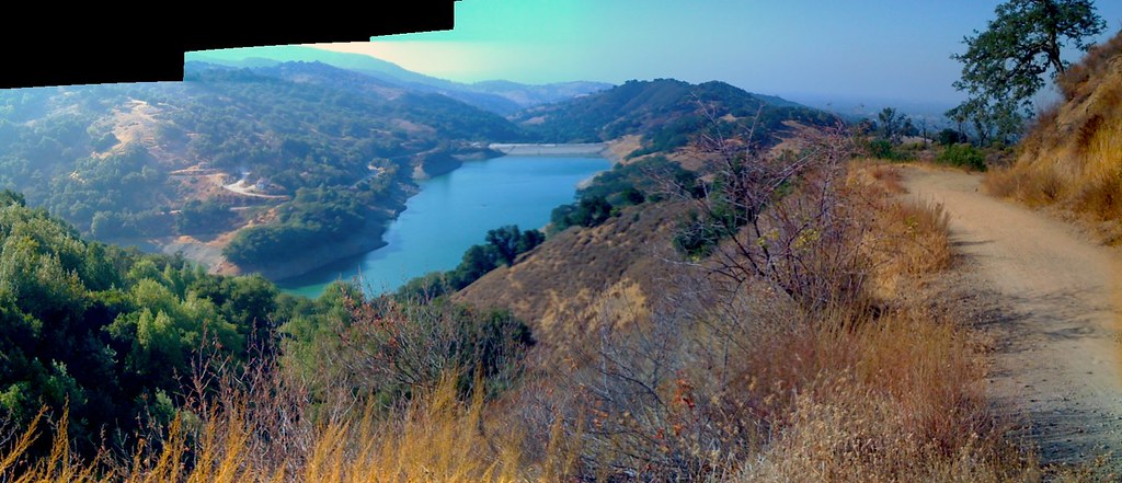 Enriquita TrailHiking · ~4 min drivePhoto: alexik, CC BY-SA 2.0 (via Flickr)
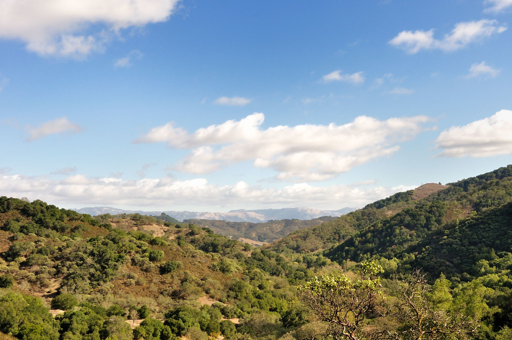 Mayfair Ranch TrailHiking · ~8 min drivePhoto: donjd2, CC BY 2.0 (via Flickr)
 Prospect #3 TrailHiking · ~4 min drivePhoto: regexman, CC BY 2.0 (via Flickr)
 Lisa Killough TrailHiking · ~8 min drivePhoto: Olivier Pasco, CC BY 2.0 (via Flickr)
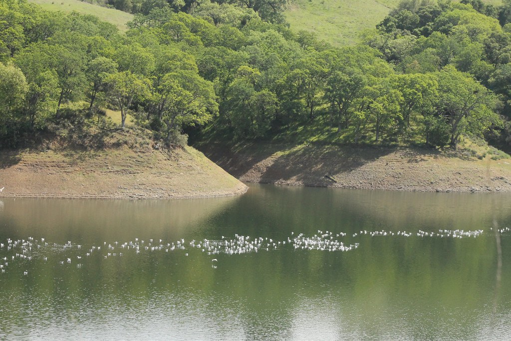 Webb Canyon TrailHiking · ~5 min drivePhoto: edwardrooksSJ, CC BY-SA 2.0 (via Flickr)
- Mine Hill TrailHiking · ~4 min drive
Map and trail data © OpenStreetMap contributors
