Bald Mountain Trail
- 0.6 mi
- round trip
- 555 ft
- climb
- 2,379 ft
- high point
- Out and back
- route
Bald Mountain Trail is a short, easy out-and-back hike in California's Sierra Azul Open Space Preserve, a regional agency-managed preserve. The trail is about 1.2 miles long, with a total elevation gain of 555 feet, and it starts at roughly 2,318 feet, reaching a high point of about 2,379 feet before returning to the starting level. The climb is steady, and the steepest stretch comes early, around 0.1 mile from the start, with a grade of about 11 percent. The round trip takes about half a day, so it works well as a quick outing. The Mount Umunhum Trail lies about 0.4 miles away, and the Mine Hill Trail and Castillero Trail are each about 2 miles off. Climbers can find Lower Guadalupe Rock about 1.8 miles away.
Conditions and forecast on Bald Mountain
Daily highs and lows, wind and the chance of precipitation at the summit and route start for the next 7 days, from the Open-Meteo model.
 Mount Umunhum TrailHikingPhoto: czarcats, CC BY 2.0 (via Flickr)0.4 mi
- Lower Guadalupe RockRock climbing1.8 mi
- Mine Hill TrailHiking1.9 mi
- Castillero TrailHiking2 mi
- Roadside RockRock climbing2.5 mi
- Hicks RoadRock climbing2.5 mi
- Soquel CreekCanoeing7.8 mi
- Zayante CreekCanoeing9.9 mi
Source: Roamze catalog (indexable pages within 10 miles, PostGIS distance)
- Mount Umunhum TrailHiking · Next doorPhoto: czarcats, CC BY 2.0 (via Flickr)
 Mount Umunhum TrailHiking · ~2 min drivePhoto: czarcats, CC BY 2.0 (via Flickr)
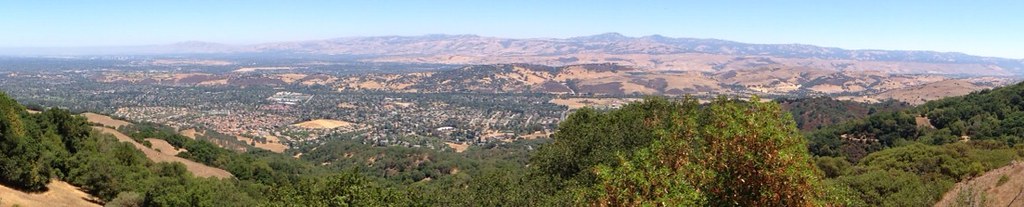 Providencia TrailHiking · ~4 min drivePhoto: regexman, CC BY 2.0 (via Flickr)
 Woods TrailHiking · ~5 min drivePhoto: ilya_ktsn, CC BY 2.0 (via Flickr)
- Mount Umunhum TrailHiking · ~1 min drivePhoto: czarcats, CC BY 2.0 (via Flickr)
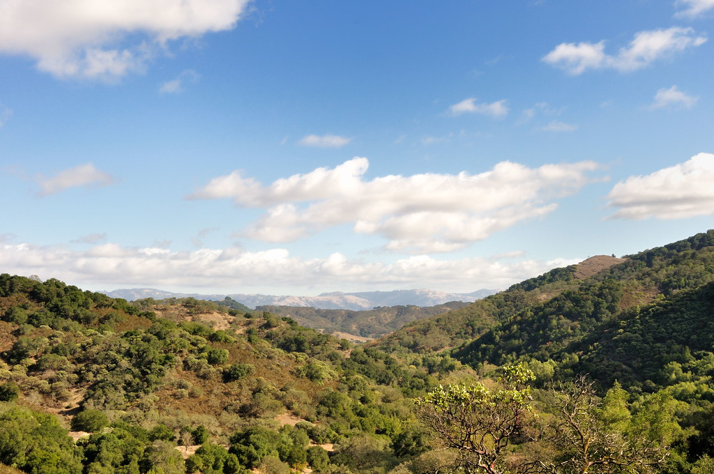 Mayfair Ranch TrailHiking · ~8 min drivePhoto: donjd2, CC BY 2.0 (via Flickr)
 Prospect #3 TrailHiking · ~4 min drivePhoto: regexman, CC BY 2.0 (via Flickr)
 Lisa Killough TrailHiking · ~7 min drivePhoto: Olivier Pasco, CC BY 2.0 (via Flickr)
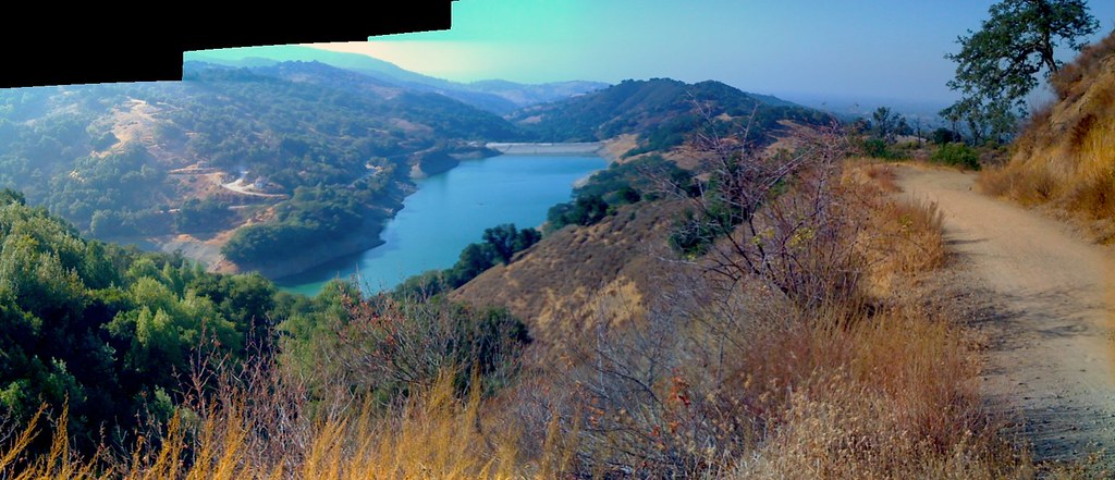 Enriquita TrailHiking · ~4 min drivePhoto: alexik, CC BY-SA 2.0 (via Flickr)
- Mine Hill TrailHiking · ~3 min drive
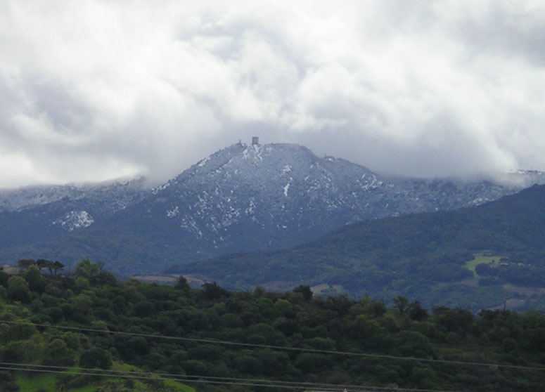
Route details
- Distance
- 0.6 mi round trip
- Climbing
- About 555 ft
- Summit
- 2,387 ft
- Difficulty
- Easy
- Time
- About 0.5 hours
Questions about this route
How long is the Bald Mountain Trail on Bald Mountain?
About 0.6 mi round trip.
How much elevation gain is on the Bald Mountain Trail?
About 555 ft of climbing round trip.
How hard is the Bald Mountain Trail?
It is rated easy.
How long does the Bald Mountain Trail take?
About 0.5 hours round trip.
Map and trail data © OpenStreetMap contributors
