North Lake Campground
Campground
Campground · < 0.1 mi from the trail
 Photo: inkknife_2000 (14 million views), CC BY-SA 2.0 (via Flickr)
Alert in the area
The Forest Service lists 3 alerts for Inyo National Forest.
Help Halt Golden Mussel Invasion
Agency alert covering Inyo National Forest · USFS · Inyo National Forest
Ansel Adams and John Muir Wilderness Campfire Restrictions
Agency alert covering Inyo National Forest · Order 05-04-50-25-04 · USFS · Inyo National Forest
Golden Trout and Hoover Wilderness Campfire Restrictions
Agency alert covering Inyo National Forest · Order 05-04-50-25-05 · USFS · Inyo National Forest
As of · Source: USFS · Inyo National Forest. Agencies don't list every closure — check before you go.
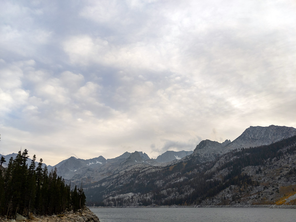
Mount Stephen Jay Gould is a high, steep out-and-back hike in California's Kings Canyon National Park, within the White Mountain Ranger District of Inyo National Forest. The National Park Service manages the land, and the route rises to a summit of 13,360 feet, with a total elevation gain of 7,134 feet over the course of the trip. The climb is rated expert, and the round-trip distance is about 13.4 miles. The route is a long, demanding day. The high point sits at 13,360 feet, and the total gain and loss are each about 7,100 feet. Plan on roughly eight hours for the trip. The summit sits right beside Mount Tom Ross and Mount Mendel, and North Lake Campground is about 0.1 mile away. Middle Fork Bishop Creek, a canoeing spot, is about 1.2 miles off.
North Lake Campground
Campground
Cardinal Cafe
Restaurant
Paiute-Shoshone Indian Cultural Center
Museum
Places © OpenStreetMap contributors
More in BishopNot on Roamze yet. Their page has how to reach them.
Mount Tom RossHikingPhoto: inkknife_2000 (14 million views), CC BY-SA 2.0 (via Flickr)0.1 mi Mount MendelHikingPhoto: Moo.The.Cow, CC BY 2.0 (via Flickr)0.1 mi
 Roadside Fire BoulderRock climbingPhoto: RuggyBearLA, CC BY 2.0 (via Flickr)3.3 mi
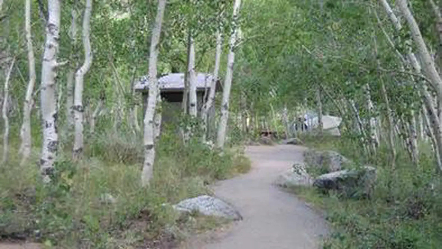 Table MountainRiver fishing3.5 mi
Source: Roamze catalog (indexable pages within 10 miles, PostGIS distance)
Grass Lake TrailHiking · Next doorPhoto: Moo.The.Cow, CC BY 2.0 (via Flickr) Lamarck ColHiking · ~2 min drivePhoto: Hike395 (talk · contribs), CC BY 3.0 (via Wikimedia Commons)
 BAKER SUMMITHiking · ~9 min drivePhoto: RuggyBearLA, CC BY 2.0 (via Flickr)
 Gendarme PeakHiking · ~9 min drivePhoto: RuggyBearLA, CC BY 2.0 (via Flickr)GRASS LAKE OUTLETHiking · Next doorPhoto: inkknife_2000 (14 million views), CC BY-SA 2.0 (via Flickr)
 Sabrina Basin TrailHiking · ~5 min drivePhoto: mjhbower, CC BY-SA 4.0 (via Wikimedia Commons)
 Rainbow Pack Station TrailHiking · ~9 min drivePhoto: RuggyBearLA, CC BY 2.0 (via Flickr)CloudripperHiking · ~9 min drivePhoto: RuggyBearLA, CC BY 2.0 (via Flickr)
 Grass Lake OutletHiking · ~1 min drivePhoto: RuggyBearLA, CC BY 2.0 (via Flickr)Baboon LakeHiking · ~5 min drivePhoto: mjhbower, CC BY-SA 4.0 (via Wikimedia Commons)
© openrouteservice.org by HeiGIT | Map data © OpenStreetMap contributors

