Edison Ferry Pickup
Campground
Campground · 2.9 mi from the trail
Caution today
Agency alerts are in effect for this area; weather is marginal · USFS, OpenWeather · checked 7 h ago
Closure in the area
There's a closure order in Sierra National Forest. It doesn't name Mott Lake, so check the source for the area it covers (3 listed).
Safety Tips for Burned Areas: Garnet Fire Area
Agency closure covering Sierra National Forest · USFS · Sierra National Forest
Wilderness Food and Refuse Storage
Agency closure covering Sierra National Forest · Order 05-15-00-26-03 · USFS · Sierra National Forest
Food and Refuse Storage
Agency closure covering Sierra National Forest · Order 05-15-00-26-02 · USFS · Sierra National Forest
Forest Order removes Fish Camp, Soda Springs, and Little Jackass from closure list
Agency alert covering Sierra National Forest · Order 05-15-00-26-11 · USFS · Sierra National Forest
Ansel Adams and John Muir Wilderness Campfire Restrictions
Agency alert covering Sierra National Forest · Order 05-15-00-26-09 · USFS · Sierra National Forest
As of · Source: USFS · Sierra National Forest. Agencies don't list every closure — check before you go.
Mott Lake is a moderate out-and-back hike in California's John Muir Wilderness, within the High Sierra Ranger District of Sierra National Forest. The trail is managed by the Forest Service and runs about 3.8 miles, with a one-way elevation gain of 1,095 feet from a low point of 8,949 feet to a high of 10,064 feet. The route is natural-surface and allows horses, and it is not an accessible trail. Bikes are not permitted. Summer is the most comfortable time to go. Typical averages from a nearby weather station at Tuolumne Meadows, which sits about 1,370 feet lower, show July highs around 71°F and lows near 38°F. That station's figures are not directly comparable to the higher trail, so expect cooler temperatures on the route. The John Muir Trail passes about 2.2 miles away, and Mono Creek Trail is about 1.1 miles off. Paddlers can reach Mono Creek, about 2.7 miles away, and climbers will find the Sierra Eastside area about 4.8 miles away.
Edison Ferry Pickup
Campground
Iva Bell Hot Springs
Hot spring
Places © OpenStreetMap contributors
More in Mammoth LakesNot on Roamze yet. Their page has how to reach them.
Best months: June–September. Best months have typical highs of 55–85 °F, lows of 30 °F or warmer (32 °F where the station doesn't record snow), at most one snowy day and no more than 12 wet days.
Jan
41° / 13°
Feb
38° / 12°
Mar
42° / 15°
Apr
45° / 22°
May
54° / 27°
Jun
65° / 33°
Jul
71° / 38°
Aug
70° / 36°
Sep
65° / 32°
Oct
57° / 26°
Nov
47° / 20°
Dec
40° / 12°
Typical high / low (°F) and days with rain or snow, 1991–2020. Measured at Tuolumne Meadows Rs, CA, 38.5 mi away at 8,694 ft. The station sits about 1,400 ft lower than this place, so expect it a little cooler here. This station doesn't record snowfall. Source: NOAA NCEI U.S. Climate Normals 1991–2020.
 Photo: Matt Lavin, CC BY-SA 2.0 (via Flickr)
John Muir Trail
~4 min drive
7.84-mile out-and-back hike on the John Muir Trail in California with 2,535 ft gain
 Photo: Tom Hilton, CC BY 2.0 (via Wikimedia Commons)
Lee Lake
~6 min drive
0.23-mile out-and-back trail to Lee Lake in California.
 Photo: Tom Hilton, CC BY 2.0 (via Wikimedia Commons)
Peter Pande Lake
~7 min drive
3.60-mile out-and-back trail to Peter Pande Lake in California.
 Photo: feverblue, CC BY-SA 2.0 (via Flickr)
MONO CREEK
~9 min drive
9.34-mile out-and-back trail in California with 3,527 ft elevation gain/loss.
 Photo: Matt Lavin, CC BY-SA 2.0 (via Flickr)
Minnow Creek
~5 min drive
18.74-mile out-and-back trail in California with 628 ft elevation gain.
Photo: Tom Hilton, CC BY 2.0 (via Wikimedia Commons)Tully Lake
~6 min drive
1.52-mile out-and-back trail to Tully Lake in California, 315 ft elevation gain.
 Photo: Leif, CC BY 2.0 (via Wikimedia Commons)
Purple Lake
~11 min drive
5.73-mile out-and-back trail to Purple Lake in California with 629 ft of elevation gain.
HIKE
Mono Creek Trail
~2 min drive
23.92-mile out-and-back trail in California with 4,745 ft elevation gain and loss.
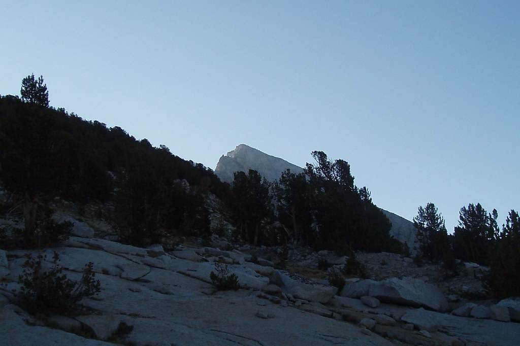 Photo: Tom Hilton, CC BY 2.0 (via Flickr)
Volcanic Knob
~6 min drive
2.88-mile out-and-back trail in California with 668 ft elevation gain.
 Photo: Tom Hilton, CC BY 2.0 (via Wikimedia Commons)
LEE LAKE
~7 min drive
1.46-mile out-and-back hike to Lee Lake in California with 443 ft of elevation gain.


