Edison Ferry Pickup
Campground
Campground · 4.3 mi from the trail
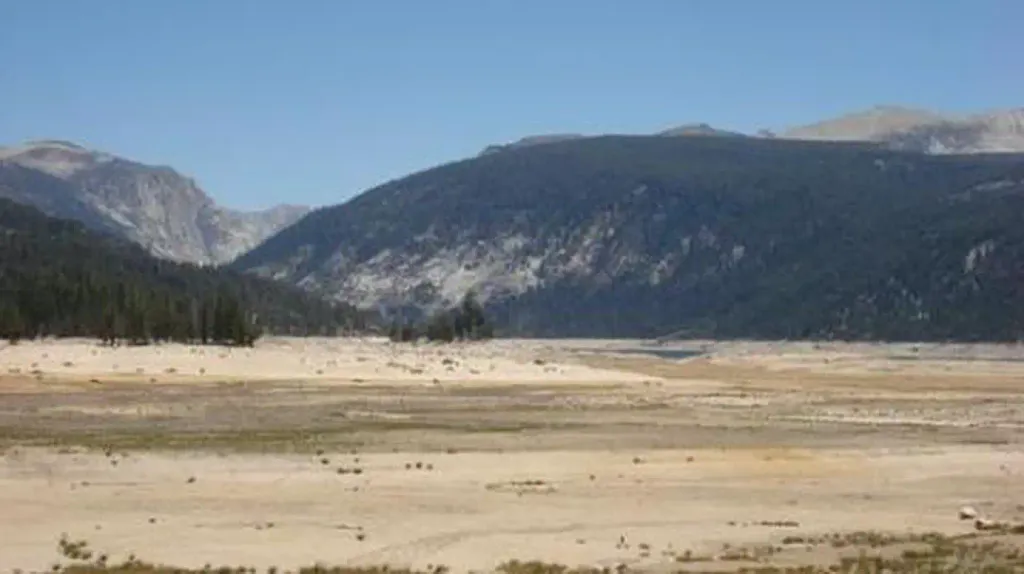
 Photo: Matt Lavin, CC BY-SA 2.0 (via Flickr)
Closure in the area
There's a closure order in Sierra National Forest. It doesn't name John Muir Trail, so check the source for the area it covers (3 listed).
Safety Tips for Burned Areas: Garnet Fire Area
Agency closure covering Sierra National Forest · USFS · Sierra National Forest
Wilderness Food and Refuse Storage
Agency closure covering Sierra National Forest · Order 05-15-00-26-03 · USFS · Sierra National Forest
Food and Refuse Storage
Agency closure covering Sierra National Forest · Order 05-15-00-26-02 · USFS · Sierra National Forest
Forest Order removes Fish Camp, Soda Springs, and Little Jackass from closure list
Agency alert covering Sierra National Forest · Order 05-15-00-26-11 · USFS · Sierra National Forest
Ansel Adams and John Muir Wilderness Campfire Restrictions
Agency alert covering Sierra National Forest · Order 05-15-00-26-09 · USFS · Sierra National Forest
As of · Source: USFS · Sierra National Forest. Agencies don't list every closure — check before you go.
The John Muir Trail is a 7.8-mile out-and-back hike in California's John Muir Wilderness, within the High Sierra Ranger District of Sierra National Forest. The Forest Service manages the land, and the route crosses wilderness boundaries, so plan for a full day on foot. The trail starts at about 10,709 feet and climbs to a high point of 10,895 feet, with a total gain of 2,535 feet over the course of the trip. The climb is back-loaded, with the steepest stretch at about 3 miles in, where the grade reaches 22%. The route also descends the same amount, so the total round-trip gain is 2,535 feet. The most comfortable time to go is summer, when typical averages from a nearby weather station run in the low 80s °F. Winter brings snow, and the trail is open year-round. Minnow Creek is 0.7 miles away and Wilbur May Lake is 1.7 miles away. For an overnight base, Vermillion campground sits about 8 miles off, and the Convict Lake & McGee Creek climbing area is about 5 miles away.
Edison Ferry Pickup
Campground
Iva Bell Hot Springs
Hot spring
Places © OpenStreetMap contributors
More in Mammoth LakesNot on Roamze yet. Their page has how to reach them.
 Minnow CreekHikingPhoto: Matt Lavin, CC BY-SA 2.0 (via Flickr)0.7 mi
 VermillionCampingPhoto: Recreation.gov (RIDB) / public domain8 mi
Source: Roamze catalog (indexable pages within 10 miles, PostGIS distance)
Minnow CreekHiking · ~1 min drivePhoto: Matt Lavin, CC BY-SA 2.0 (via Flickr) Peter Pande LakeHiking · ~3 min drivePhoto: Tom Hilton, CC BY 2.0 (via Wikimedia Commons)
 Lee LakeHiking · ~4 min drivePhoto: Tom Hilton, CC BY 2.0 (via Wikimedia Commons)McGee Pass TrailHiking · ~4 min drivePhoto: Tom Hilton, CC BY 2.0 (via Wikimedia Commons)
 Purple LakeHiking · ~7 min drivePhoto: Leif, CC BY 2.0 (via Wikimedia Commons)
 LEE LAKEHiking · ~4 min drivePhoto: Tom Hilton, CC BY 2.0 (via Wikimedia Commons)
 Hopkins Pass TrailHiking · ~8 min drivePhoto: Miguel Vieira from Redwood City, CA, USA, CC BY 2.0 (via Wikimedia Commons)
 Convict CreekHiking · ~10 min drivePhoto: Hike395 (talk · contribs), CC BY-SA 3.0 (via Wikimedia Commons)Tully LakeHiking · ~4 min drivePhoto: Tom Hilton, CC BY 2.0 (via Wikimedia Commons)
Also worth it near here
 Wilbur May LakeMountain biking · ~3 min drivePhoto: Smack (talk · contribs), Public domain (via Wikimedia Commons)
 Mount BaldwinSummit · ~10 min drivePhoto: Channel City Camera Club from Santa Barbara, US, CC BY 2.0 (via Wikimedia Commons)
Map and trail data © OpenStreetMap contributors
